Mount Esja is a volcanic mountain range across the bay about 10 kilometres north of Reykjavik. The common hike from Mogilsa to Steinn is roughly 7.5 kilometres round trip with about 720 metres of elevation gain, and it usually takes about 2 to 3 hours round trip.
What and where Mount Esja is
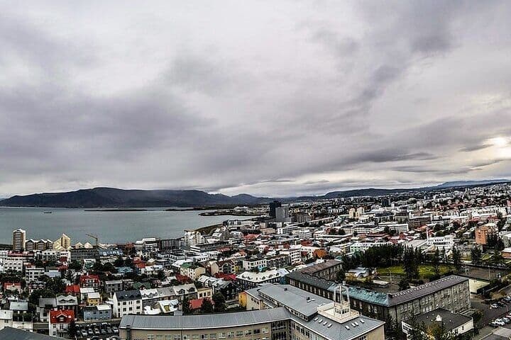
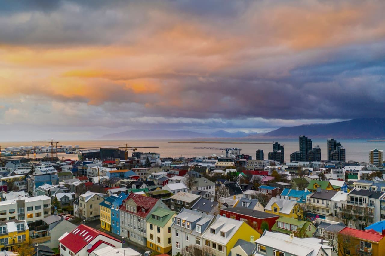
Esja is a volcanic mountain range, not a single peak, rising across the bay about 10 kilometres north of Reykjavik. It is made of basalt and tuff layers and is a defining feature of the Reykjavik skyline, clearly visible from viewpoints such as the Hallgrimskirkja tower. Esja is the capital area's most popular hiking destination, easily seen from the city.
How high Esja is and its peaks
The highest point of Esja reaches about 914 metres and is named Habunga. Thverfellshorn, at about 780 metres, is the best-known summit above the main trail. Another named summit, Kerholakambur, stands at about 851 metres.
The hike to Steinn and the trailhead at Mogilsa
The main trailhead is at the Mogilsa parking area at the mountain's base. From Mogilsa, the path is well marked all the way up to Steinn.
The common hike ends at the landmark rock called Steinn, meaning Rock, at roughly 597 metres. A guestbook box sits at Steinn where hikers sign their names.
The round trip to Steinn is roughly 7.5 kilometres with about 720 metres of elevation gain. The popular Steinn hike takes about 2 to 3 hours round trip depending on pace.
Getting to Esja from Reykjavik by bus
Mogilsa is reachable from Reykjavik by city bus. Route 57 runs from Mjodd bus station.
Hiking Esja safely in winter
In winter the trail becomes harder and icy, so crampons or spikes are commonly needed. Daylight is limited in winter, and steeper upper sections can hold snow and ice.
Hiking Esja or reaching it on a Reykjavik tour
If you want to compare options in the city, see Reykjavik tours.
Prepare your kit
The Iceland Packing List can help you pack for the weather and the time outdoors involved in the Mount Esja hike.