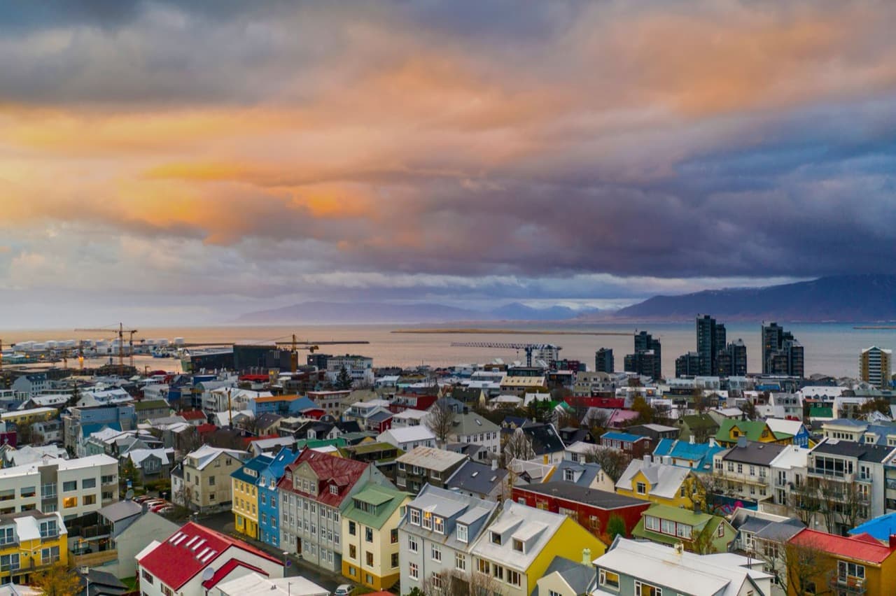
Iceland's Ring Road, Route 1, is more than 1,300 kilometers long. The road is paved along its entire length. A fourteen day plan follows the Ring Road with a detour into West Iceland.
Planning A Fourteen Day Ring Road Route
Route 1, described in the Iceland ring road guide, was closed into a loop by the bridges over Skeidararsandur in the southeast. The Ring Road is maintained by Vegagerdin, the Icelandic Road Administration. Drivers can follow the route clockwise or counter-clockwise.
Days One To Three Reykjavik And The Golden Circle
Gullfoss, described in the golden circle itinerary, falls in two stages, an 11 meter upper drop and a lower drop of about 20 meters, a total of about 30 meters.
Days Four To Seven South Coast To The Southeast
Seljalandsfoss waterfall drops about 60 meters (197 feet). Skogafoss waterfall is about 60 meters (200 feet) high and 25 meters (82 feet) wide. The driving distance from Reykjavik to Vik on the south coast is about 188 kilometers (117 miles). The driving distance from Reykjavik to the Jokulsarlon glacier lagoon in the southeast is about 380 kilometers (236 miles).
Days Eight To Ten East Fjords To North Iceland
The driving distance from Reykjavik to Akureyri via the Ring Road is roughly 382 to 385 kilometers, depending on the route taken.
Days Eleven To Fourteen Snaefellsnes Detour And The Drive Home
Snaefellsjokull, the glacier-capped volcano at the tip of the Snaefellsnes peninsula, reaches an elevation of about 1,446 meters. Snaefellsjokull National Park was established in 2001 and covers the western tip of the Snaefellsnes peninsula. Use the Driving Distance Calculator to help plan your trip.
Compare Ring Road Tour Options
You can compare Reykjavik tours to see the current options.