Jokulsarlon is a glacier lagoon on the southeast coast of Iceland, at the edge of Vatnajokull National Park. Jokulsarlon is about 370 kilometres from Reykjavik, and the drive takes around 5 hours. Jokulsarlon is the deepest lake in Iceland, at around 248 metres deep.
What Iceland's glacier lagoons are and how they formed
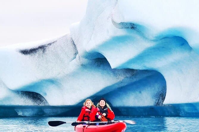
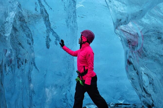
A glacier lagoon forms when an outlet glacier melts and retreats, leaving a deepening basin that fills with meltwater and floating icebergs. Jokulsarlon sits at the foot of the Breidamerkurjokull glacier, which is an outlet glacier of the Vatnajokull ice cap. Vatnajokull is the largest glacier in Iceland and one of the largest ice caps in Europe. Jokulsarlon began to form in the 1930s as the Breidamerkurjokull glacier retreated inland. The Breidamerkurjokull glacier that feeds Jokulsarlon has been retreating rapidly since the 1920s. Jokulsarlon has grown roughly fourfold in size since the 1970s as the glacier has continued to retreat. The icebergs floating in Jokulsarlon can be over 1000 years old. Icebergs in Jokulsarlon often show a vivid blue colour, and some carry black streaks of volcanic ash.
Jokulsarlon, Fjallsarlon and Diamond Beach explained
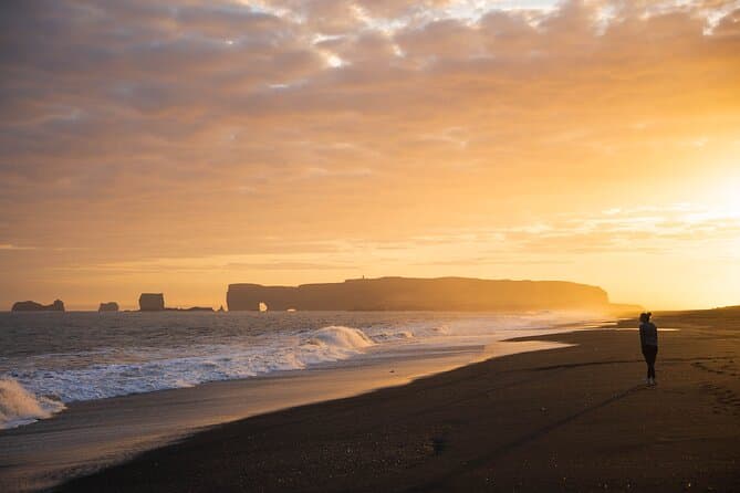
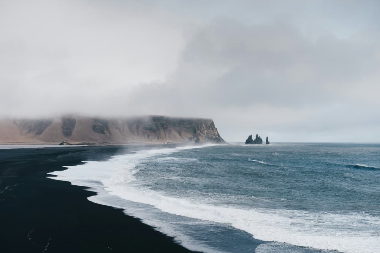
Fjallsarlon is a smaller glacier lagoon located about 10 kilometres west of Jokulsarlon along the Ring Road. Fjallsarlon sits closer to the glacier front than Jokulsarlon, giving more direct glacier views and a quieter atmosphere. Most visitors stop at both Jokulsarlon and Fjallsarlon on the same day because they are so close together. Diamond Beach is the stretch of black sand across Route 1 from Jokulsarlon, where icebergs from the lagoon wash ashore. The formal name of the area around Diamond Beach is Breidamerkursandur, a glacial outwash plain. Icebergs stranded on the black sand of Diamond Beach glitter like diamonds, which is how the beach got its nickname. A short outlet channel connects Jokulsarlon to the Atlantic Ocean, and the Ring Road crosses it on a bridge.
How to reach the glacier lagoons from Reykjavik and the south coast
Jokulsarlon lies directly on Iceland's Ring Road, Route 1, and the route to it is fully paved. Jokulsarlon is about 80 kilometres from the town of Hofn. Jokulsarlon is about 55 kilometres from Skaftafell. Use the Driving Distance Calculator to help plan your trip.
Boat tours, wildlife and the best time to visit
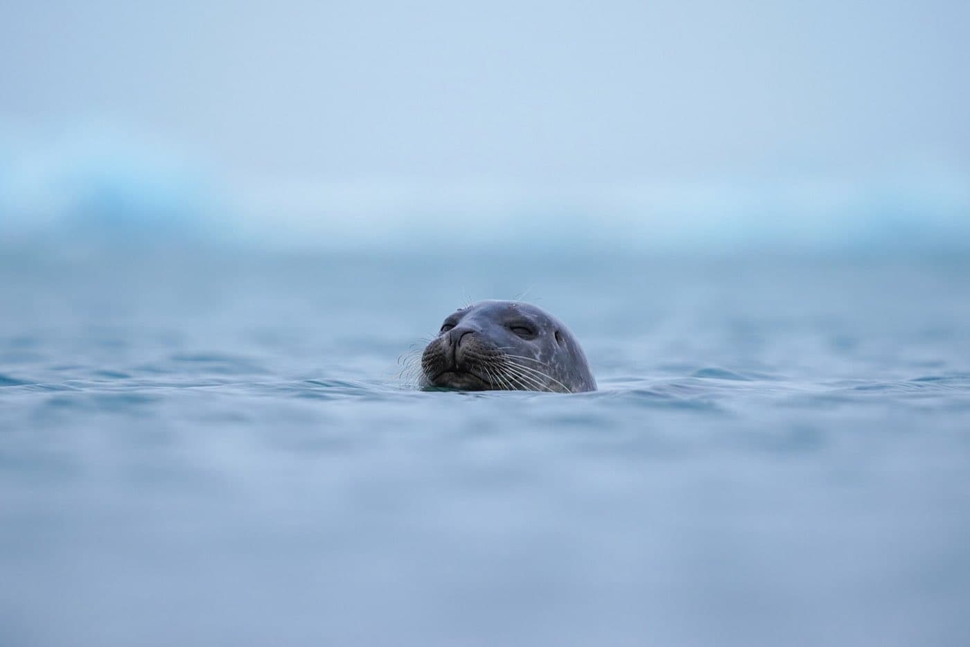
Amphibian boat tours drive from land straight into the lagoon and last around 40 minutes. Zodiac boat tours are smaller inflatable boats that move faster and go closer to the glacier tongue than amphibian boats. Boat tours on Jokulsarlon operate only in the warmer months, roughly from May to October, when the lagoon is free of winter ice cover. Seals can be seen at Jokulsarlon year-round, often resting on the ice or swimming among the icebergs. Arctic terns and skuas are among the birds that nest around Jokulsarlon in summer. In winter the lagoon sees increased iceberg calving, and on clear nights the northern lights can appear overhead. In summer the midnight sun keeps the lagoon lit late into the night, and boat tours run through the day. Jokulsarlon has appeared in several Hollywood films, including A View to a Kill in 1985 and Batman Begins in 2005.
Planning your trip and comparing south coast tours
You can compare South Coast tours to see the current options.