Sigoldugljufur is a canyon in Iceland's southern highlands, along the route to Landmannalaugar. It lies roughly 24 km before Landmannalaugar, and the viewpoint is reached by a short walk of about 1 km from the parking area.
Where Sigoldugljufur canyon is
Sigoldugljufur sits north of the Fjallabak Nature Reserve, near the Sigalda area and its hydropower plant. The Sigalda Hydropower Plant beside the canyon was completed in 1978.
Why it is called the Valley of Tears
Many small waterfalls and springs cascade down the moss-covered canyon walls into the river below. The waterfalls feed a vivid turquoise river, earning the nickname the Valley of Tears.
The waterfalls, springs, and blue river
Dozens of thin waterfalls, fifty or more depending on season and rainfall, stream down the eastern wall.
How to reach Sigoldugljufur on the F-roads
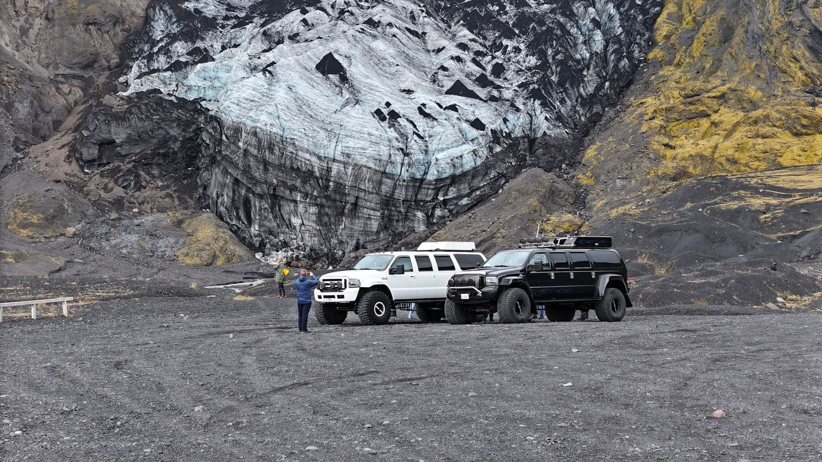
The canyon is reached in summer only by 4x4 on highland F-roads. From Reykjavik the route follows Route 1, then Route 26, then the F208 toward Landmannalaugar.
A small turn-off near the Sigalda power station leads to the canyon parking area. The access road is only open in spring and summer and is closed over the colder months. For current conditions, check road.is and safetravel.is.
The walk from the parking area to the viewpoint
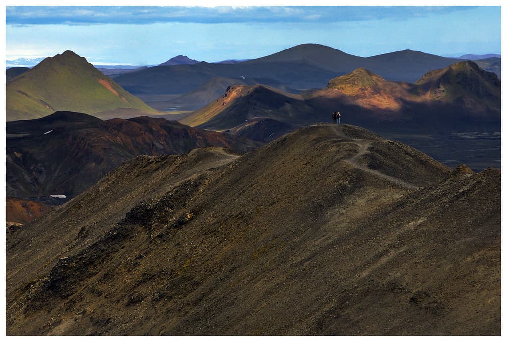
It is a short, easy walk of about 1 km from the parking area to the viewpoint. The site has no amenities or restrooms, so bring water and supplies before setting out.
Good hiking shoes and warm, waterproof clothing help on the uneven ground.
Visiting Sigoldugljufur on a highland tour
Sigoldugljufur is along the route to Landmannalaugar, and it lies roughly 24 km before Landmannalaugar, making it a stop on the way in or out. A Valley of Tears highland tour combines it with the wider area. To compare options, see highlands tours.
Check access conditions
Before travelling for Sigoldugljufur, consult Iceland road conditions for the latest status on the roads you will use.