This guide covers Snaefell and the Snaefellsoraefi plateau in the east of Vatnajokull National Park, how to reach them and what is there.
The mountain and the plateau
Snaefellsoraefi is a plateau around the ancient central volcano Snaefell and the tuff peaks that surround it.
Snaefell is the fourth tallest mountain in Iceland.
Snaefellsoraefi has rich vegetation compared with other highland regions.
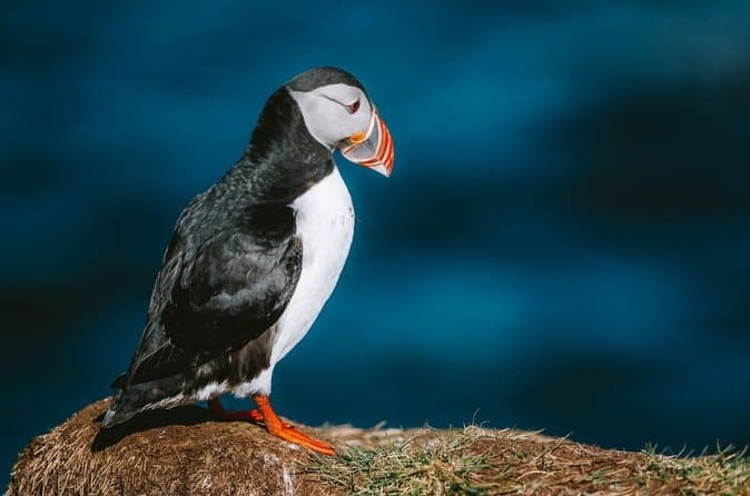
The plateau provides good habitat for wildlife.
Snaefellsoraefi is an internationally important wetland.
Getting there
In Vatnajokull National Park, mountain road F910 leads to the Snaefellsskali hut at Snaefell.
F910 has usually opened in early July in recent years.
In Vatnajokull National Park, mountain road F909 to Snaefell has two fords.
F909 is generally easily passable by four-wheel drive in summer.
Snaefell lies on the boundary of the municipalities of Fljotsdalshreppur and Mulathing.
On the ground
Park rangers at Snaefell give information on the hiking trails.
They lead educational walks.
They manage the Snaefell campsite and the Snaefellsskali hut.
The Snaefellsstofa visitor centre at Skriduklaustur in Fljotsdalur is connected to Snaefellsoraefi.
The visitor centre has an exhibit on plant life, reindeer and other wildlife.
Marked hiking routes connect the Snaefellsskali hut at Snaefell with the Laugarfell hut.
One route runs through the valley Vatnsdalur.
Hot springs are listed among that route's highlights.
Before you set out
Use the Road Conditions to help plan your trip.
Comparing East Iceland tours
You can compare East Iceland tours to see the current options.