The Icelandic highlands, Halendid, cover roughly 40 percent of Iceland's landmass. The highlands sit largely above 300 to 400 meters in elevation. The interior is an uninhabited volcanic desert with no towns or shops.
What and where the Icelandic highlands are
The Icelandic highlands are known in Icelandic as Halendid. The highlands cover roughly 40 percent of Iceland's total landmass. The highlands sit largely above 300 to 400 meters in elevation. The interior is a volcanic desert of basalt mountains, lava fields, black sand, colourful rhyolite mountains and geothermal areas. No one lives permanently in the highlands and there are no towns or shops. Major glaciers in and around the highlands include Vatnajokull, Langjokull, Hofsjokull and Myrdalsjokull.
When the highlands open and why the season is so short
Snow covers the highland from October until the beginning of June. F-roads are typically open only during the summer, roughly June to September. Highland opening dates are not fixed and depend on snowmelt, weather and river levels. The highlands can be crossed only during the Icelandic summer.
Driving the F-roads and crossing rivers safely
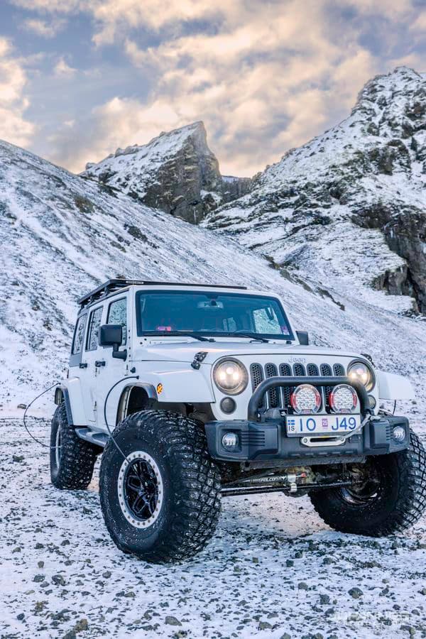
The letter F in Icelandic road numbers stands for fjallvegur, which means mountain road. F-roads are unpaved and feature gravel, loose stones, steep hills and unbridged river crossings. Only 4x4 vehicles are legally permitted on F-roads. Off-road driving is strictly prohibited in Iceland to protect the environment. River depth and current change with weather and meltwater, so each crossing should be inspected before driving through. Travellers should check current road conditions before entering the highlands. You can check current conditions with the road conditions tool.
The two great crossing routes: Kjolur and Sprengisandur
The Kjolur route is numbered F35 and runs about 168 km between Gullfoss and Blonduos. The Kjolur route passes between the Langjokull and Hofsjokull glaciers and has no river crossings. The Sprengisandur route is numbered F26 and runs about 200 km north to south across the barren interior. The Kjolur route guide covers this crossing route.
Iconic highland destinations worth the journey
Landmannalaugar
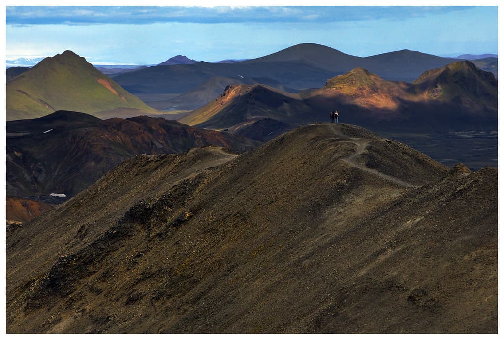
Landmannalaugar lies in the Fjallabak Nature Reserve and has geothermal hot springs that can be used for public bathing. Landmannalaugar is at the northern end of the Laugavegur hiking trail. The Laugavegur trail runs 54 km between Landmannalaugar and Thorsmork. The Landmannalaugar lava field, Laugahraun, was formed by an eruption around 1477. The Landmannalaugar guide covers this destination.
Thorsmork
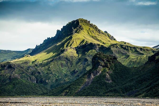
Thorsmork means Thor's forest, named after the Norse god Thor, and is known for its birch woodland. Thorsmork lies between the glaciers Eyjafjallajokull, Tindfjallajokull and Myrdalsjokull. The river Krossa flows through the Thorsmork valley.
Askja
Askja is a volcanic caldera in the central highlands shaped by a major eruption in 1875. Askja reaches an elevation of 1516 meters. The Askja lake Oskjuvatn is about 220 meters deep. The Viti crater at Askja holds warm geothermal water where visitors can bathe.
Kerlingarfjoll
Kerlingarfjoll is a range of rhyolite mountains with a geothermal area near the Kjolur route.
Choosing between self-drive and guided highland tours
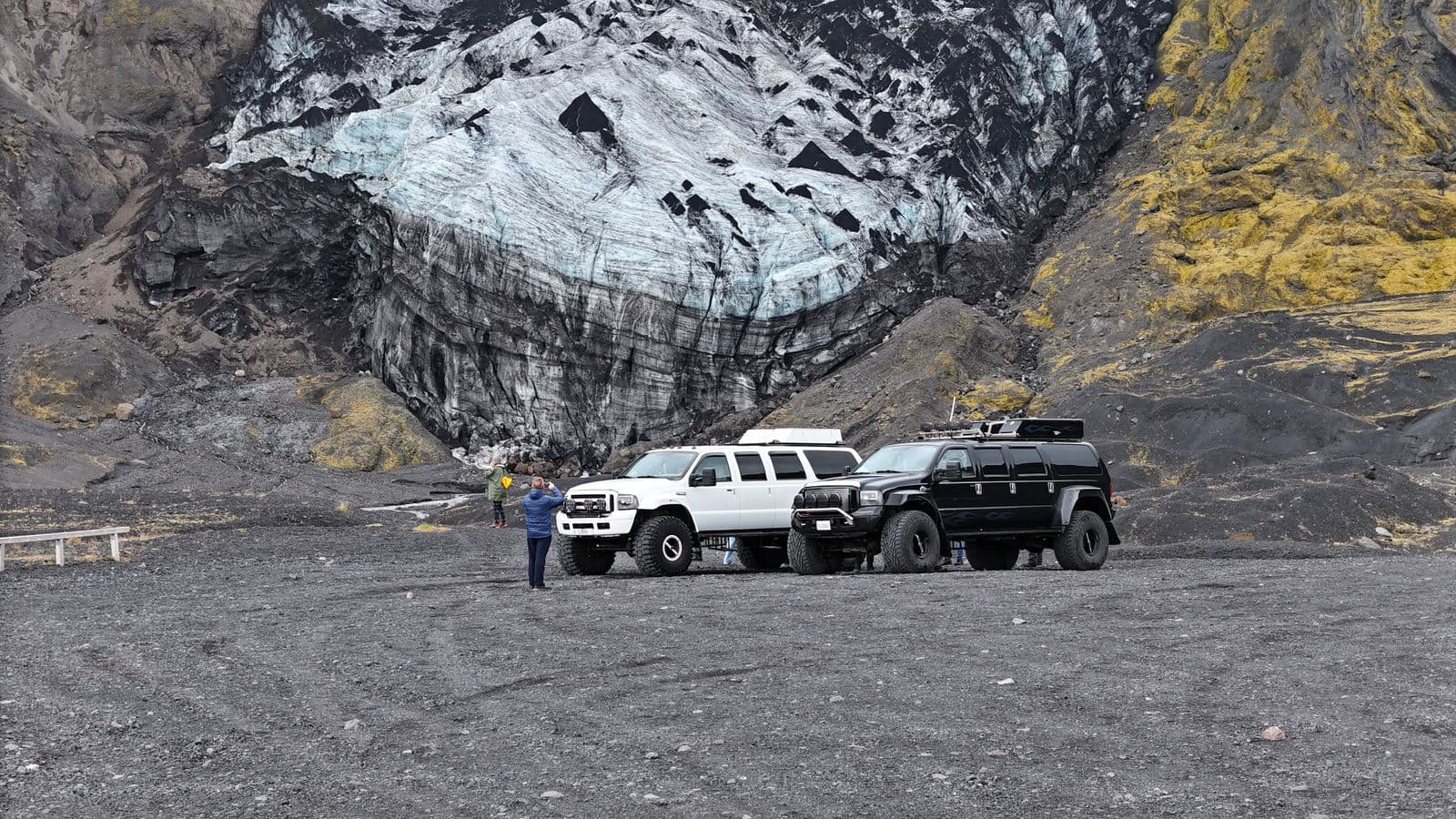
Most guided highland trips run as super-jeep day tours, and our comparison of Thorsmork and Eyjafjallajokull jeep trips covers the vehicles that can cross the rivers. You can compare highland tours to see the current options at highland tours.