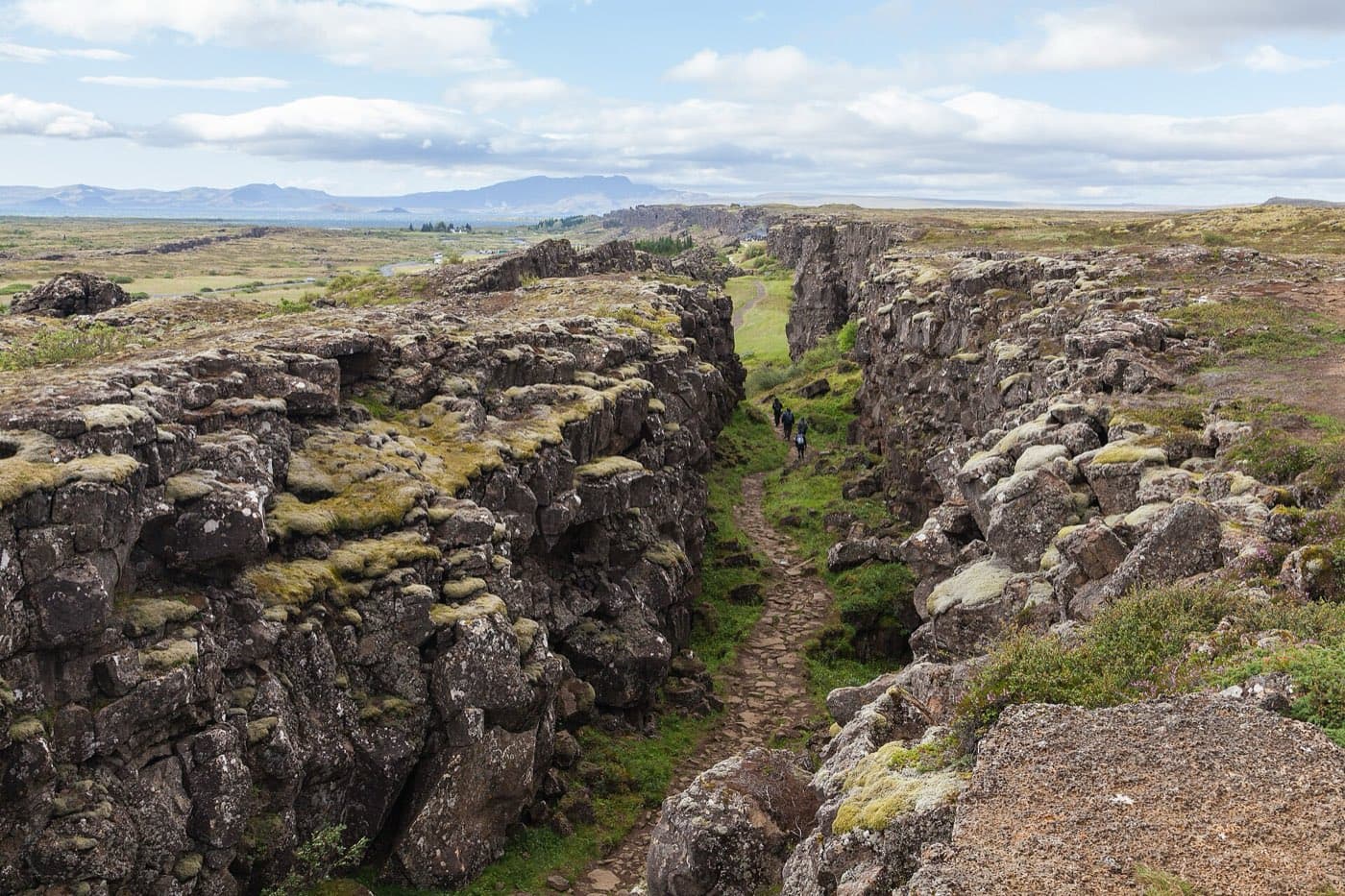
Almannagja is a gorge in Thingvellir National Park in southwest Iceland, on the Golden Circle route. It runs along the boundary between the North American and Eurasian tectonic plates, which are slowly pulling apart. A walking path runs along the floor of the gorge between high rock walls, starting near the Thingvellir visitor area.
Walking between two continents
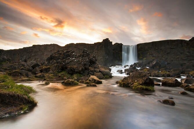
The rift runs through Thingvellir National Park. Almannagja runs along the boundary between the North American and Eurasian tectonic plates. A walking path runs along the floor of the gorge between high rock walls. The river Oxara runs through the gorge and drops at the waterfall Oxararfoss.
Where the Althing met
Thingvellir is where the Althing, Iceland's assembly, was founded around the year 930 and met for centuries. The Logberg, or Law Rock, near Almannagja was the assembly's central speaking place. Thingvellir is a UNESCO World Heritage Site.
Nearby in the rift zone
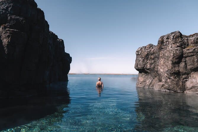
The same rift zone holds the Silfra fissure. Silfra is a water-filled crack where people snorkel and dive between the plates.
Visiting Almannagja and Golden Circle tours
Almannagja is on the Golden Circle route in southwest Iceland. You can compare Golden Circle tours to see the current options.
Allow time for the road
Check the Driving Distance Calculator when deciding how Almannagja Gorge belongs in the rest of your itinerary.