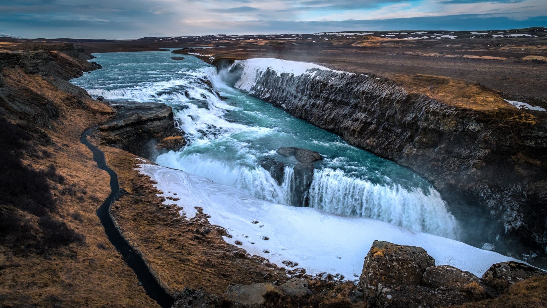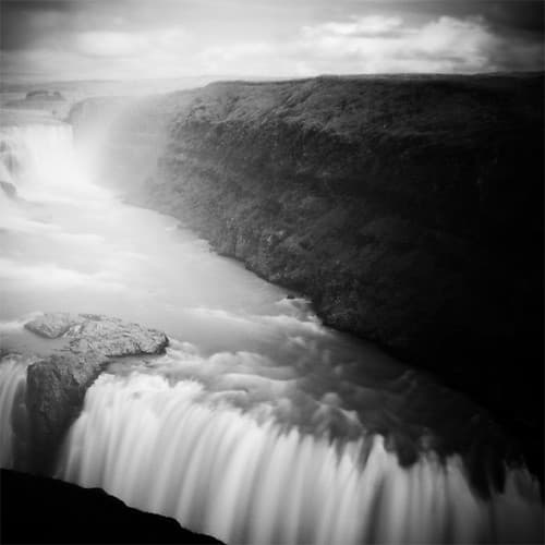
Bruarhlod is a narrow canyon on the Hvita river in South Iceland, about 3 kilometres downstream of Gullfoss and roughly 116 kilometres east of Reykjavik. It sits on Iceland's Golden Circle and the canyon is about 20 metres deep.
What and where Bruarhlod canyon is
Bruarhlod is a narrow canyon on the Hvita river. It is on Iceland's Golden Circle, in South Iceland, and lies roughly 116 kilometres east of Reykjavik. The canyon is about 3 kilometres downstream of Gullfoss.
How the canyon formed
The canyon is cut into basalt rock. It has steep walls and a constricted channel, which speeds up the river. Bruarhlod is about 20 metres deep.
Why the river runs milky green
The Hvita is a glacial river fed by meltwater from the Langjokull glacier. Fine glacial sediment gives the water a chalky, milky, greenish colour rather than clear blue.
Walking to the canyon viewpoints
A short, easy walking trail leads to viewpoints over the canyon.
Adding Bruarhlod to a Golden Circle trip
Bruarhlod sits on Iceland's Golden Circle. If you want to compare options in the area, see Golden Circle tours. For live road and travel conditions, check road.is and safetravel.is.
Map the drive
Use the Driving Distance Calculator to see how Bruarhlod Canyon fits with the other places on your route.