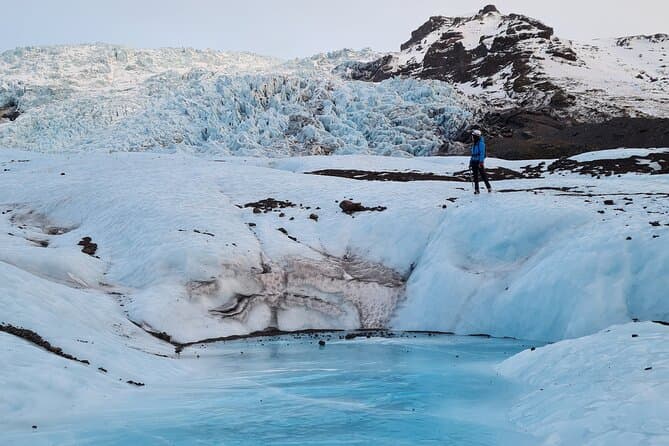
Langjokull is the second-largest ice cap in Iceland, in the west of the highlands. It covers about 870 square kilometres, is about 50 kilometres long and 15 to 20 kilometres wide, and the ice is up to about 580 metres thick.
What and where Langjokull is
Langjokull is the second-largest ice cap in Iceland, in the west of the highlands. Its name means long glacier.
Long, not wide
The name Langjokull means long glacier, and it stretches in length rather than width.
Size and thickness
Langjokull covers about 870 square kilometres. It is about 50 kilometres long and 15 to 20 kilometres wide, and the ice is up to about 580 metres thick. Its highest point reaches about 1,450 metres above sea level.
Seeing and exploring the glacier
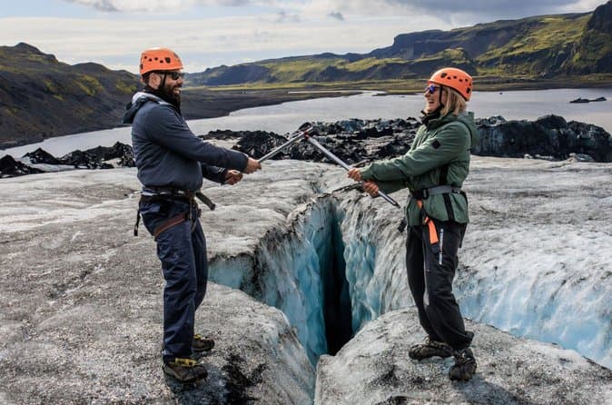
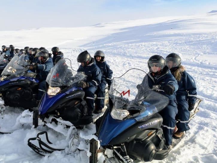
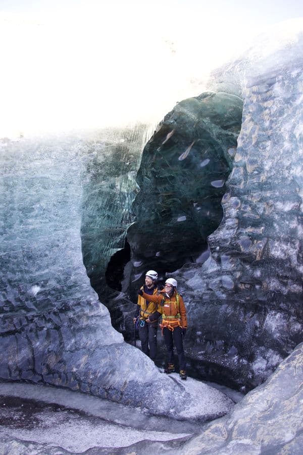
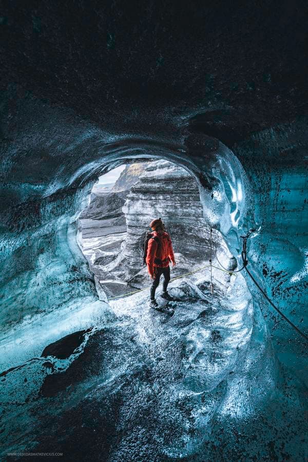
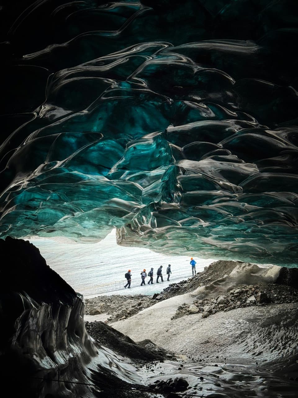
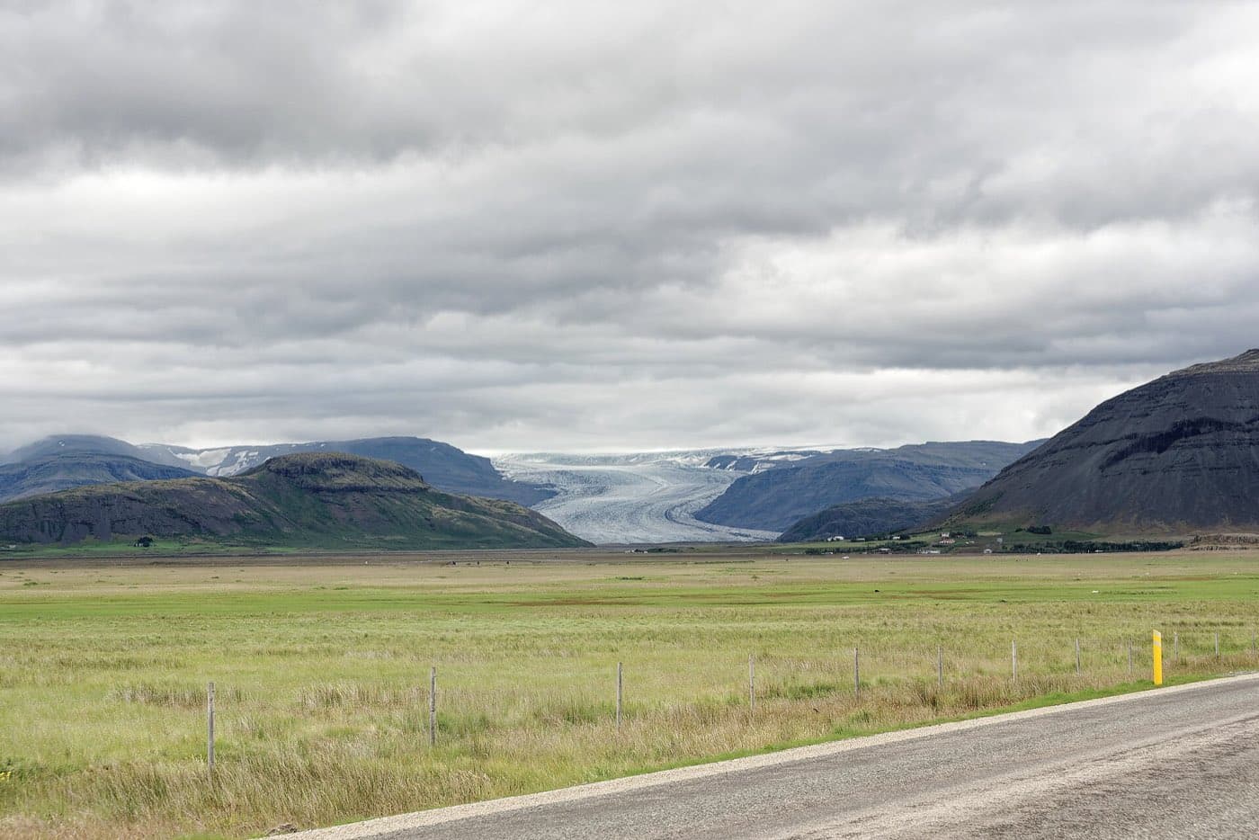
Langjokull can be seen clearly from the Haukadalur geothermal area on the Golden Circle. It is used for glacier hikes, snowmobiling and visits to a man-made ice tunnel. Snowmobile trips onto the ice cap usually set off from the Golden Circle side, as a snowmobiling adventure on Langjokull from Gullfoss does.
Visiting Langjokull
For live conditions, check safetravel.is and road.is. To compare options related to glacier visits and ice tunnels, see ice cave tours.
Check access conditions
Before travelling for Langjokull Glacier, consult Iceland road conditions for the latest status on the roads you will use.