Eyjafjallajokull is a glacier-capped volcano on Iceland's south coast. Its summit reaches about 1,651 metres, and the ice cap covers an area of around 66 square kilometres. In 2010, an eruption beneath the ice cap sent ash into the atmosphere and disrupted flights across large parts of Europe.
What and where Eyjafjallajokull is
Eyjafjallajokull is on Iceland's south coast, west of the larger Myrdalsjokull ice cap. It rises behind the south-coast lowlands near Skogar and the region's waterfalls.
A glacier-capped stratovolcano
Eyjafjallajokull is a stratovolcano, built up from many layers of lava and ash over time. Its main outlet glaciers include Gigjokull and Steinholtsjokull.
The 2010 eruption
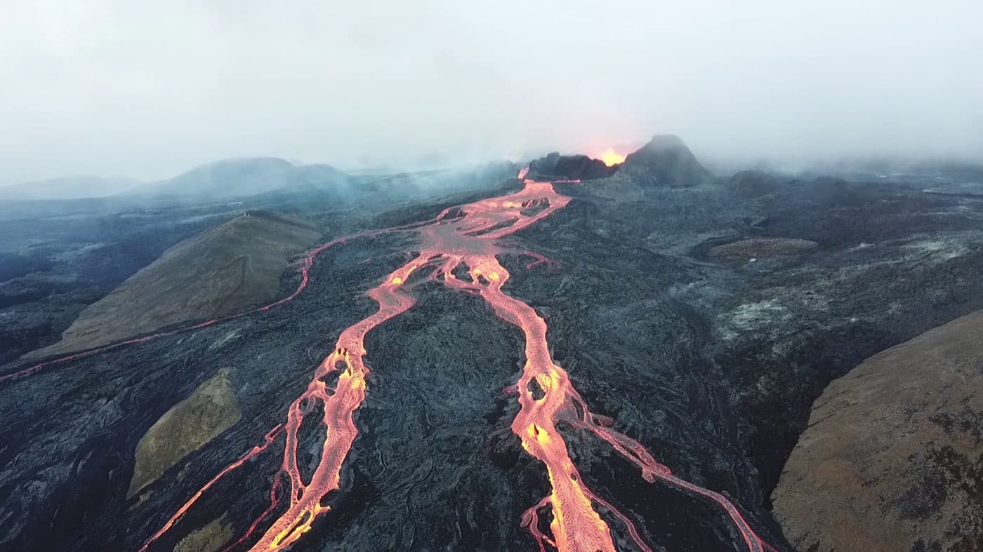
The eruption began with a small phase in March 2010, followed by the main explosive phase in April. In April 2010 the volcano erupted beneath its ice cap, sending a plume of ash high into the atmosphere.
For live conditions, check safetravel.is.
How the ash cloud grounded flights across Europe
The ash cloud disrupted air travel across large parts of Europe, and around 20 countries closed their airspace.
Seeing Eyjafjallajokull on the south coast
Eyjafjallajokull stands behind the lowlands near Skogar and the south coast waterfalls. If you want to compare options for the area, see South Coast tours.
Plan the journey
The Driving Distance Calculator can help you sequence Eyjafjallajokull with nearby sights without overfilling the day.