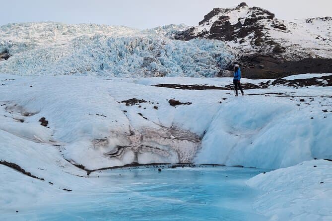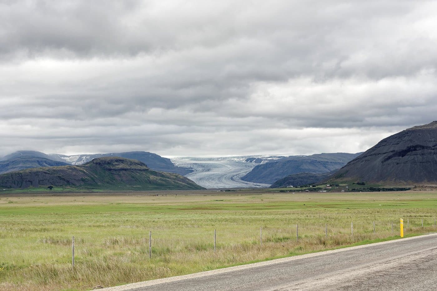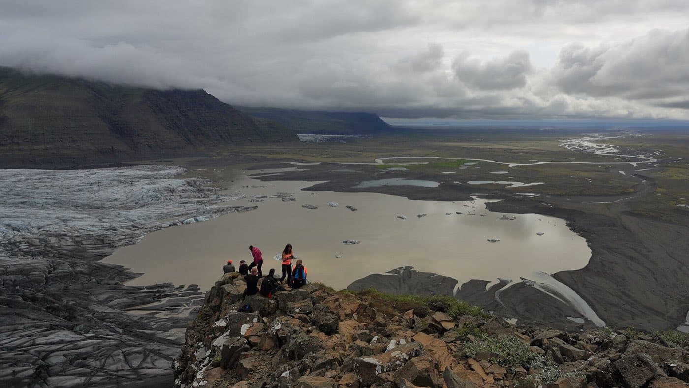
Myrdalsjokull is a large glacier, or ice cap, in southern Iceland, and it sits over the Katla volcano. It covers roughly 595 square kilometres. Its highest point, Godabunga, reaches about 1,510 metres.
What and where Myrdalsjokull is
Myrdalsjokull is in southern Iceland. It is a large glacier, also described as an ice cap, and it lies over the Katla volcano. That combination of ice cap above a central volcano is the basic geographic fact that shapes the area.
The glacier's size
Myrdalsjokull is Iceland's fourth-largest glacier, covering roughly 595 square kilometres. The ice is around 230 metres thick on average, and up to about 700 metres in the deepest places. Its highest point, Godabunga, reaches about 1,510 metres.
The Katla volcano beneath the ice
Beneath the ice sits the Katla central volcano. Its caldera is around 10 kilometres across. Katla has erupted many times through Iceland's history, and its last major eruption was in 1918. For live conditions, check safetravel.is.
Jokulhlaups: glacial outburst floods
When Katla erupts beneath the ice, rapid melting can produce sudden glacial outburst floods known as jokulhlaups. In Iceland, that term is used for these flood events caused by meltwater released from under or around glacier ice.
Visiting Myrdalsjokull's outlet glaciers
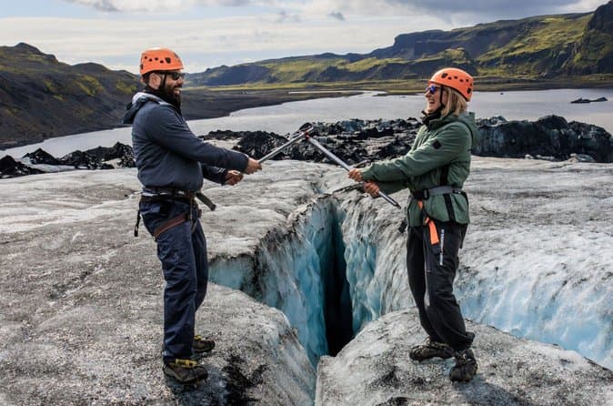
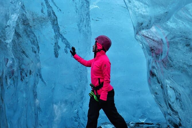
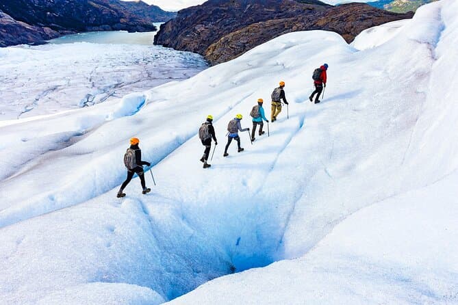
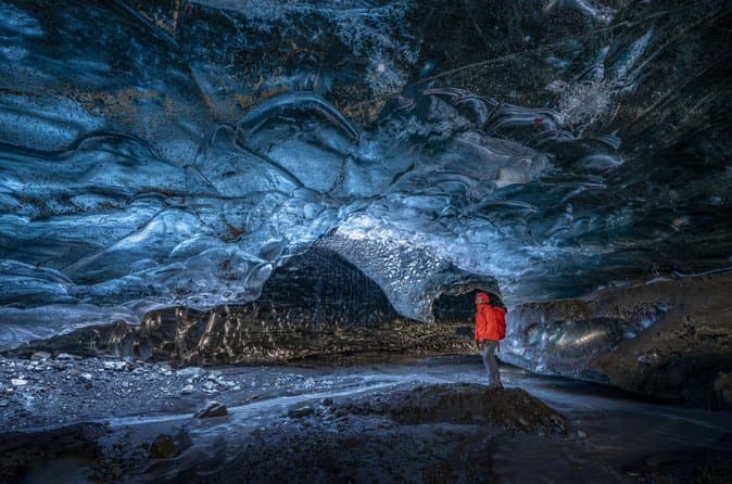
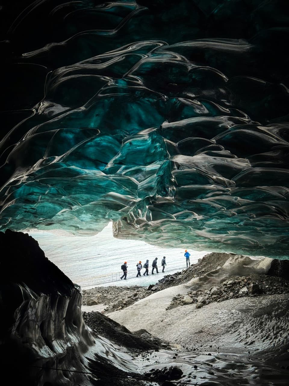
Myrdalsjokull feeds outlet glaciers such as Solheimajokull, which is used for guided glacier walks. These outlet glaciers flow down from the ice cap toward the south-coast lowlands, where they are easiest to reach. To compare options related to glacier trips and ice cave outings, see ice cave tours.
Check access conditions
Before travelling for Myrdalsjokull Glacier, consult Iceland road conditions for the latest status on the roads you will use.