Route 1, the Ring Road, is Iceland’s main paved road, connecting the South Coast, East, North, and West. It does not reach the Westfjords or the interior Highlands. Fuel planning changes once you leave the paved main road network, because services are largely absent on F-roads.
What Route 1 covers, and what it leaves out
Route 1, also called Hringvegur, is the country’s main paved road. It links the South Coast, East, North, and West, but it does not go into the Westfjords or the interior Highlands. For a broader overview of the route itself, see this Route 1 guide.
Where the long stretches without services are
The long service gaps matter most after the turnoff from the paved network into the interior. F-roads are Iceland’s unpaved highland mountain routes, and they branch off the main road system into remote terrain far from towns. Once you leave the paved road network, fuel and other roadside services are largely absent.
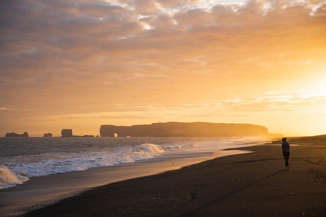
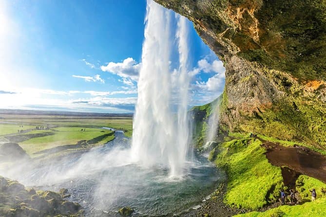
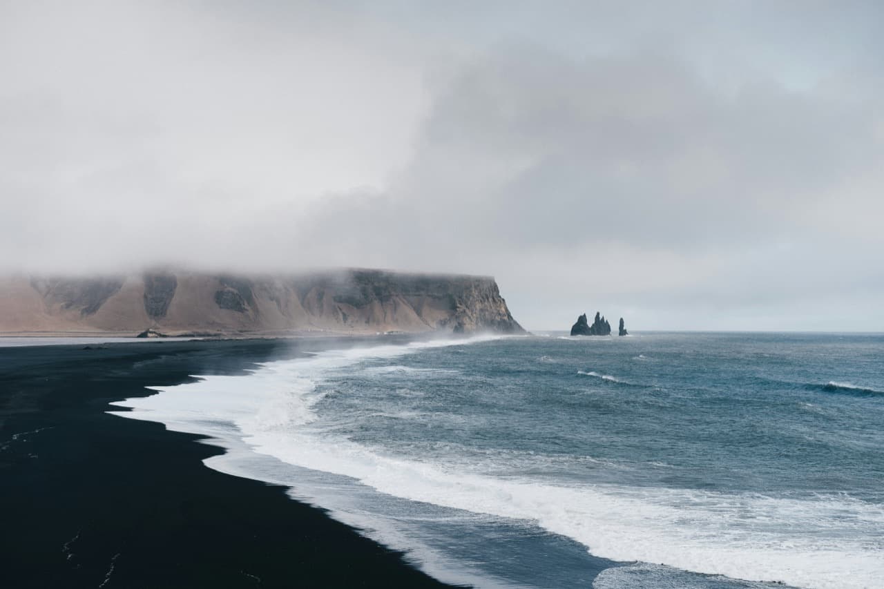
Several highland access routes branch away from Ring Road areas or other paved gateway areas. F249 to Thorsmork and F225 to Landmannalaugar branch off the Ring Road area on the south coast. F88 to Askja branches off from the Lake Myvatn area in North Iceland. F35 Kjolur runs from near Gullfoss in the south to Blondous in the north, crossing the interior between the south coast and North Iceland.
Filling up before you leave the Ring Road for an F-road
Fuel planning is straightforward here: arrive at the F-road turnoff prepared with adequate fuel. That is because roadside services are largely absent once a driver leaves the paved main road network and heads into the interior.
This applies to highland routes branching from different parts of the country, including the south coast area, the Lake Myvatn area, and the route near Gullfoss and Blondous. The key point is the same across them: the paved network has services, the interior routes generally do not.
Highland roads open on their own schedule
F-roads usually close from around mid-September until sometime in June or July. They reopen only once snow clears, and opening and closing dates vary annually with the weather.
Before driving into the highlands, travelers can register a travel plan through SafeTravel’s travel-plan service.
Finding every station along your route
If you want a station-by-station view before setting out, check the gas station finder. It covers every petrol station’s brand and location along the Ring Road, and near F-road turnoffs.
Planning driving times between fuel stops
For drive planning between towns on the route, use the driving distance tool. It shows driving times and distances between towns along the route, which helps map out fuel stops on the paved network before any detour onto highland roads.
Comparing South Coast tours
If you want to compare options separately from self-drive planning, you can compare South Coast tours.