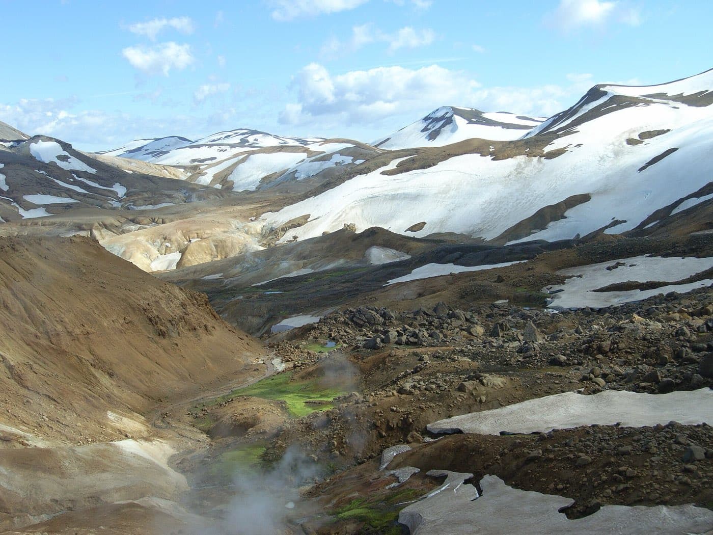
Kjolur, also called Kjalvegur or the F35, is a highland route that crosses Iceland's interior from north to south. The route runs about 168 kilometres, from near Gullfoss in the south to Blonduos in the north, and driving the full route takes around five hours.
What and where the Kjolur route is
Kjolur, also called Kjalvegur or the F35, is a highland route crossing the interior of Iceland from north to south. It connects the south near Gullfoss with the north near Blonduos.
Between two glaciers
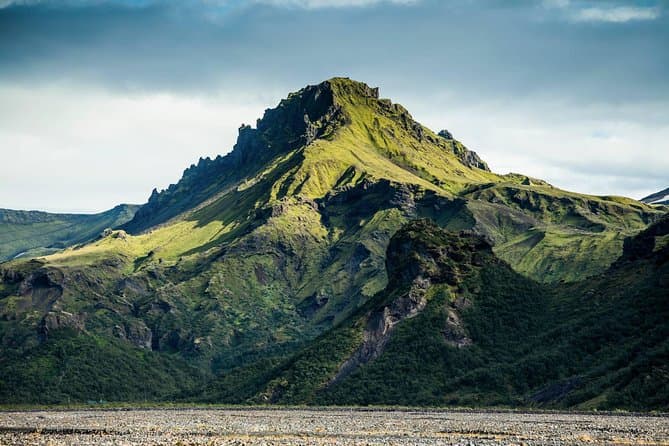
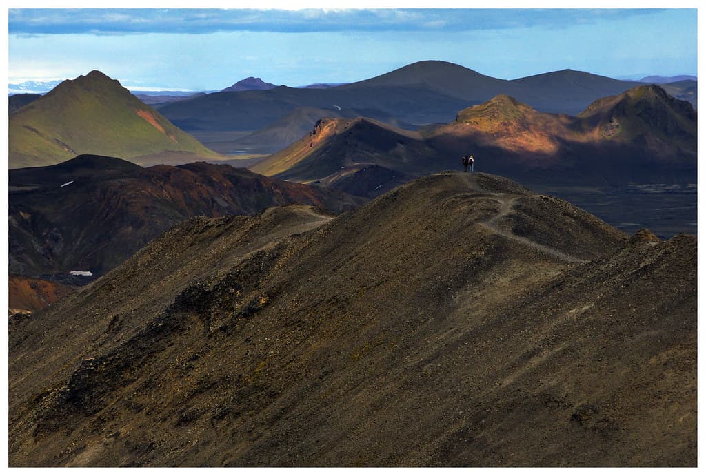
The route runs between two large glaciers, Langjokull and Hofsjokull, across the Kjolur plateau. The plateau lies at roughly 600 to 700 metres above sea level. It is one of only two roads that cross the Icelandic highlands, and along the way it passes the geothermal field at Hveravellir and the rhyolite peaks of Kerlingarfjoll.
Length and road conditions
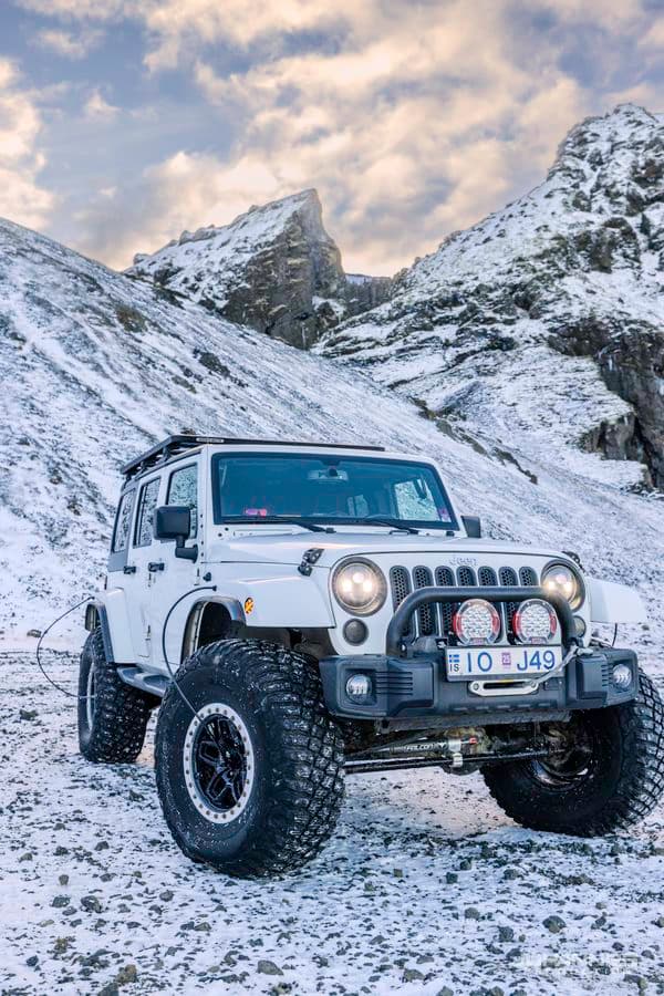
The full route is about 168 kilometres long. Unlike many highland roads, Kjolur has no large unbridged rivers to ford, but the gravel road is rough and requires a 4WD.
It is passable in summer. For live conditions, check road.is and safetravel.is.
A historic crossing of the highlands
Kjolur was historically a horse trail used to cross the highlands, linking the north and south of the country. The old trail let people from the north reach Thingvellir, the site of the annual assembly held there for centuries.
Driving Kjolur on a highland trip
Driving the full route takes around five hours. If you want to compare options for a highland trip, see Highlands tours.
Confirm the route is suitable
Iceland road conditions is worth checking before you travel to or near Kjolur Route, especially in variable weather.