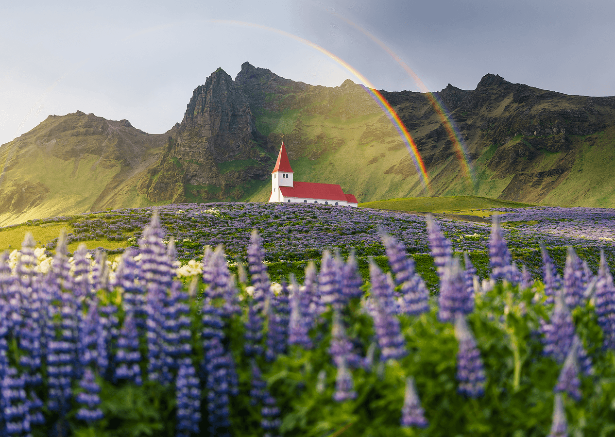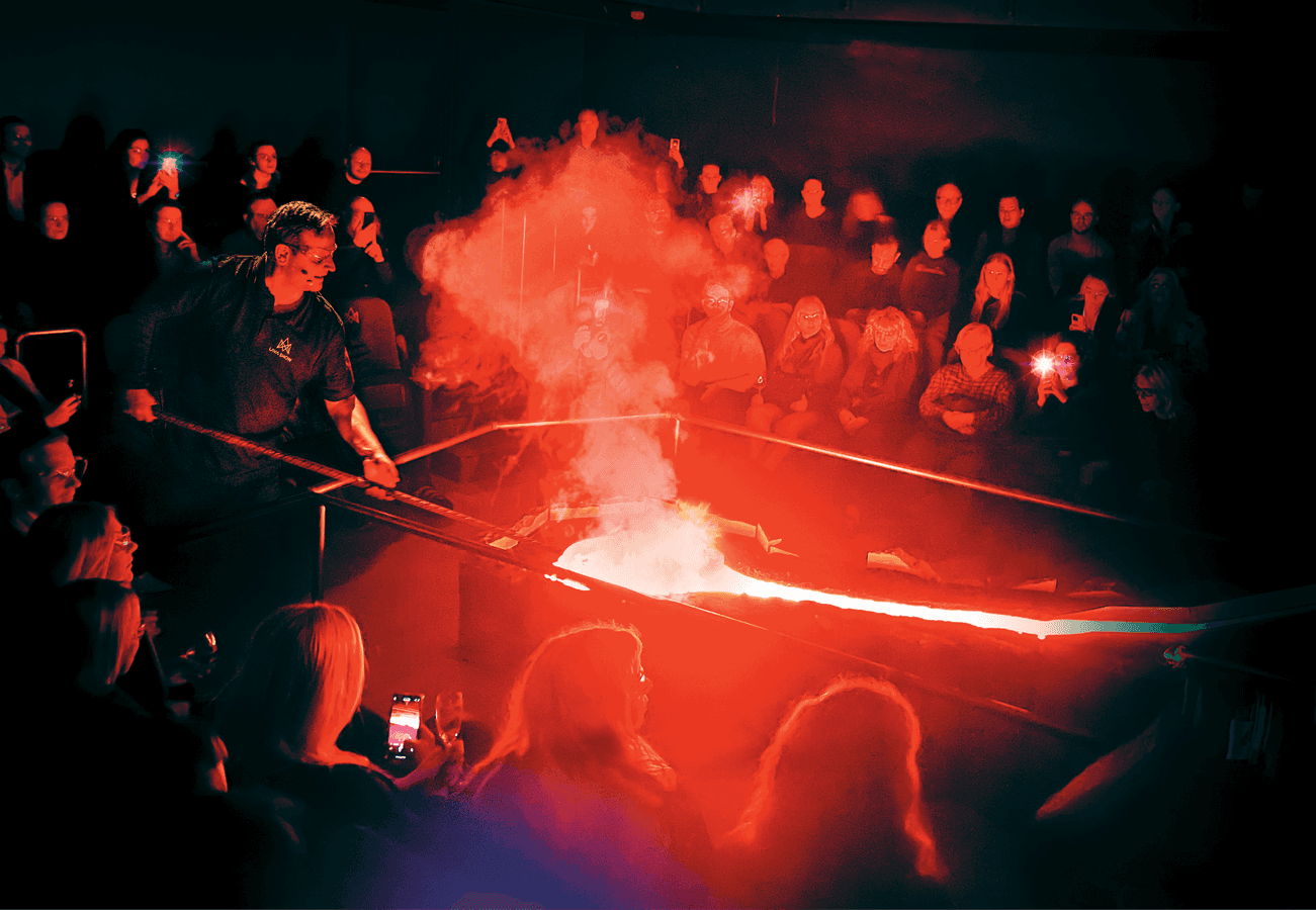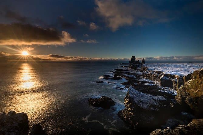
This ten-day itinerary follows Route 1, the Ring Road, leg by leg from Reykjavik along the South Coast to Jokulsarlon and the east, then through North Iceland and back to Reykjavik. Route 1, also called the Ring Road, is Iceland's main national road and loops around the country.
How the Ring Road route works
Keflavik International Airport is Iceland's largest airport and its main international hub. The Ring Road is more than 1,300 km long and is paved for its full length. Vegagerdin, the Icelandic Road Administration, maintains Route 1.
The Ring Road does not go through the Westfjords, the Snaefellsnes peninsula or parts of North-East Iceland. These areas are reached by side roads. Use the Driving Distance Calculator to help plan your trip.
Reykjavik, the Golden Circle and the South Coast
The Golden Circle is a round trip that starts and ends in Reykjavik, with three main stops: Thingvellir National Park, the Geysir geothermal area and Gullfoss waterfall. Thingvellir lies on the tectonic plate boundary of the Mid-Atlantic Ridge.
Strokkur's eruptions can reach as high as 30 metres. Gullfoss drops in two stages into a canyon. Seljalandsfoss is a South Coast waterfall that visitors can walk behind.
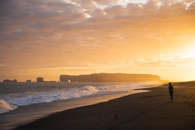
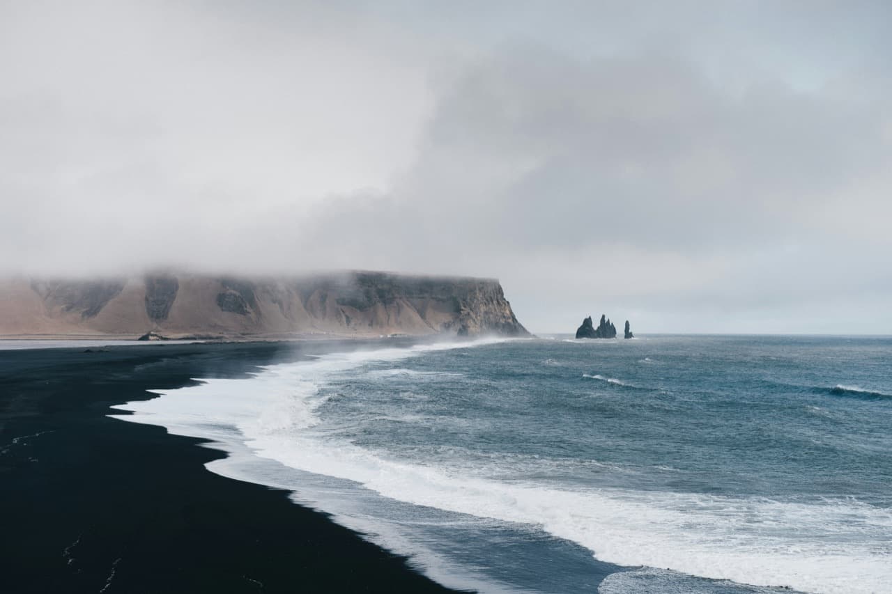
Reynisfjara is a black sand beach near Vik where sneaker waves arrive without warning and make the shoreline dangerous. The village of Vik is about 188 km from Reykjavik, about a 2 hour 50 minute drive without stops.
Jokulsarlon and the east
Jokulsarlon is a glacier lagoon beside the Ring Road inside Vatnajokull National Park. Jokulsarlon glacier lagoon is about 380 km from Reykjavik, about a 5 hour 30 minute drive without stops.
The town of Hofn is about 65 km from Jokulsarlon, about a 1 hour drive. Svartifoss in Skaftafell is framed by thick basalt columns that formed when lava cooled in an old riverbed.
Route 1 passes Reydarfjordur and carries on towards Faskrudsfjordur through the Faskrudsfjardargong road tunnel. Route 955 is a longer coastal alternative to the tunnel.
North Iceland and back to Reykjavik
Akureyri is known as the capital of the north and is the hub of North Iceland. Akureyri is about 382 km from Reykjavik by road, about a 5 hour 35 minute drive without stops.
Lake Myvatn is about 84 km from Akureyri, about a 1 hour 15 minute drive. Whale-watching tours from Husavik sail into Skjalfandi Bay.
Driving rules and conditions on the way
The default speed limit on paved roads outside built-up areas is 90 km/h. The default speed limit on gravel roads outside built-up areas is 80 km/h.
Single-lane bridges still remain on Route 1. Winter driving conditions can occur in spring and autumn as well as winter. Headlights must be on at all times, day and night, throughout the year.
Comparing guided tours and self-drive options
You can compare South Coast tours to see the current options.