Jökulsárlón is a glacier lagoon in southeast Iceland, fed by Breiðamerkurjökull, an outlet of the Vatnajökull ice cap, and it sits about 380 kilometres east of Reykjavík on Route 1. It reaches 248 metres at its deepest, which makes it the deepest lake in Iceland, and icebergs calve off the glacier and drift across the water toward the sea. This guide covers how to get there, the summer boat tours, the seals and icebergs, and the black-sand Diamond Beach beside it.
Jökulsárlón at a glance
| Jökulsárlón | |
|---|---|
| Location | Southeast Iceland, Vatnajökull National Park |
| Fed by | Breiðamerkurjökull, an outlet of Vatnajökull |
| From Reykjavík | About 380 km on Route 1, about 5 hours 30 minutes without stops |
| From Vík | About 193 km, about 2 hours 45 minutes |
| Deepest point | 248 metres (Náttúrufræðistofnun) |
| Boat tours | Summer, roughly May to October |
How the lagoon formed
The lagoon began to form in the 1930s, after Breiðamerkurjökull started to retreat and left a basin that filled with meltwater. It has kept growing as the ice draws back, and today the glacier front sits about 8 km from the ocean. The water now covers roughly 25 square kilometres and reaches 248 metres at its deepest point, which has made it the deepest lake in Iceland. Chunks of ice break off the glacier and float across the surface, so the view changes from one visit to the next.
Getting there from Reykjavík and Vík
Jökulsárlón is on Route 1, the Ring Road, about 380 kilometres east of Reykjavík. A direct drive takes about five and a half hours without stops, and stopping at the south-coast sights along the way makes it a longer day. From the village of Vík it is closer, about 193 kilometres and about 2 hours 45 minutes, which is why many travellers break the journey there or at Skaftafell rather than driving from the capital and back in one go. The road is paved the whole way, though winter conditions can slow the drive.
Boat tours and what you will see
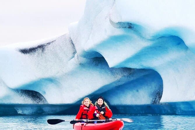
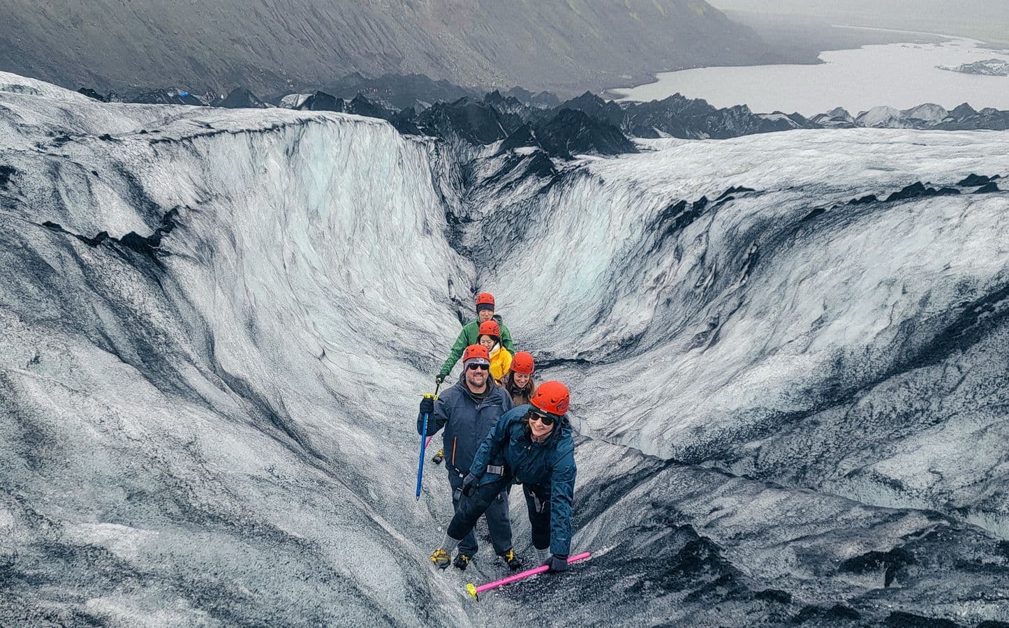
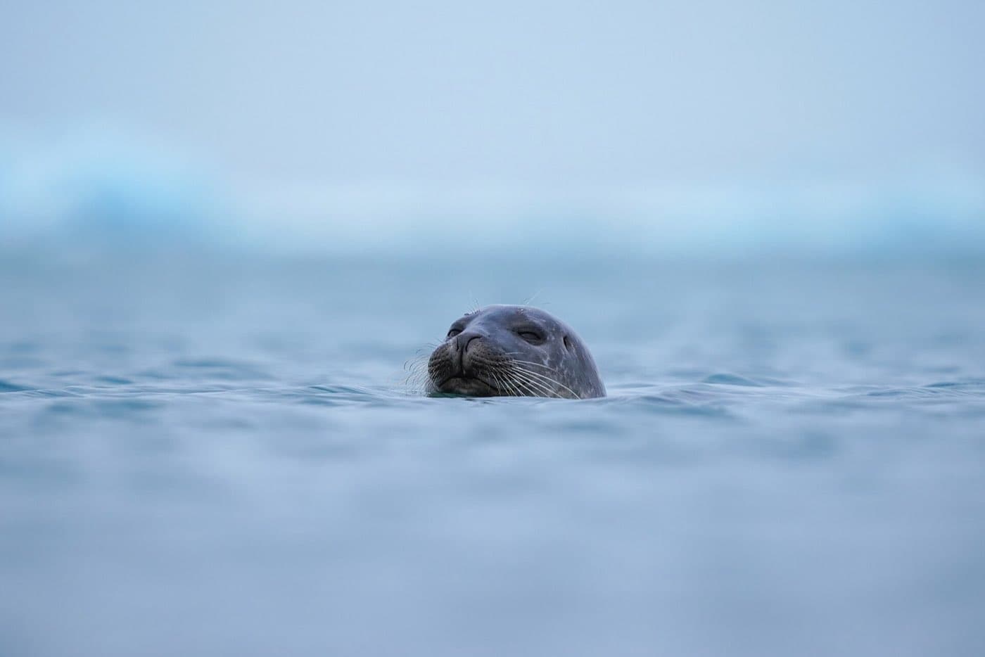
In summer you can go out on the water. Larger amphibious boats run roughly May to October and take a steady, wider loop among the icebergs, while smaller Zodiac boats run roughly May to September and move faster and closer to the glacier face. Both put you at eye level with the ice, and seals are a common sight, either swimming in the lagoon or resting on the floating bergs. Kayaking is a quieter alternative to a motor boat, and some trips pair a paddle with a walk on a nearby outlet glacier, as this Jokulsarlon kayak and Falljokull glacier hike does. Operators set their own prices and the popular tours book up in summer, so it helps to compare South Coast tours before you travel. From the shore alone you can still watch the icebergs drift and, in the right season, look for seals without paying for a boat.
Diamond Beach and Fjallsárlón
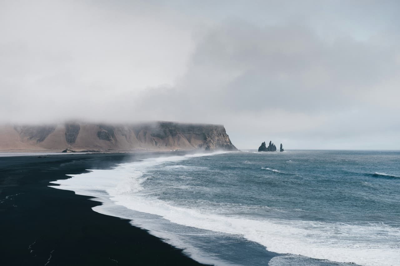
Jökulsárlón and the beach Fellsfjara lie on either side of Route 1 on Breiðamerkursandur, the outwash plain south of Breiðamerkurjökull. Glacier ice from the lagoon often ends up on the black beach at Fellsfjara, which visitors call Diamond Beach, and the amount of ice there varies. Do not climb on the ice at Fellsfjara, and always watch for waves, which can come in unexpectedly. Do not walk over the bridge between the lagoon and the beach; you can walk under it. Fjallsárlón, a smaller glacier lagoon about 10 km west of Jökulsárlón, also has boat tours, and booking ahead is advised.
Seals, birds and reindeer
Seals can often be seen in the lagoon, and large seal colonies are found where the rivers flow into the sea. Breiðamerkursandur is an important nesting ground for the great skua, the red-throated diver, the greylag goose and the barnacle goose. Several reindeer herds spend the winter on the eastern side of Breiðamerkursandur and cross the road, so take care when driving.
When to go
The lagoon is open year-round and each season looks different. Summer brings the boat tours, long daylight, and the easiest driving. Winter closes the boats but adds the chance of ice caves in the wider Vatnajökull area and, on clear nights, northern lights over the water. Whatever the month, allow time for both the lagoon and Diamond Beach, and check road conditions before a winter drive. Most visitors see the lagoon and Diamond Beach on one outing, and our comparison of glacier lagoon and Diamond Beach day tours sets out what the day trips include.
Allow time for the road
Check the Driving Distance Calculator when deciding how Jökulsárlón glacier lagoon belongs in the rest of your itinerary.