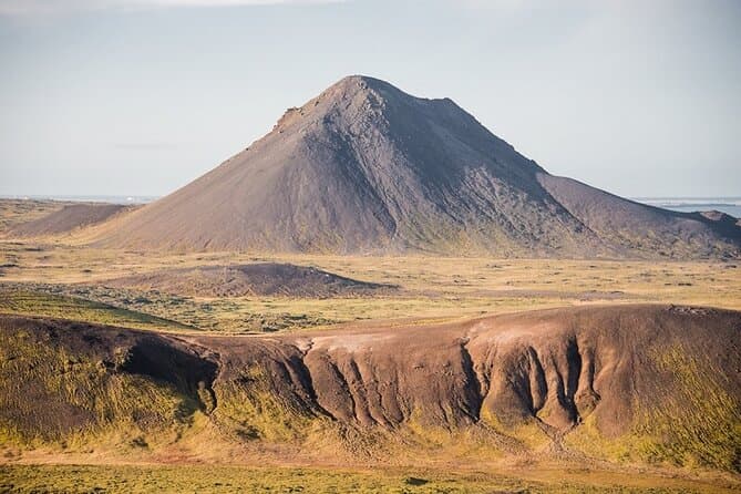
Keilir is a cone-shaped mountain on the Reykjanes peninsula in southwest Iceland. It rises about 379 metres. Its regular cone shape stands out on the surrounding lava fields and is visible from Reykjavik on clear days.
A cone on the Reykjanes lava fields
Keilir is on the Reykjanes peninsula. It stands inland on the peninsula, among lava fields and low hills. It is a hyaloclastite, or moberg, peak, formed by an eruption beneath ice during the last glacial period.
Hiking Keilir
A marked trail leads to the summit, which gives wide views over the peninsula. The hike to the top and back takes a few hours over the marked path.
A landmark for sailors
Because of its distinctive shape, Keilir was long used as a landmark by sailors approaching the coast.
Visiting Keilir and Reykjanes tours
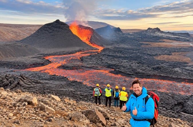
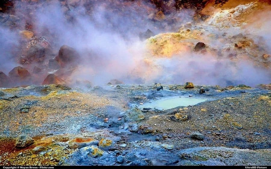
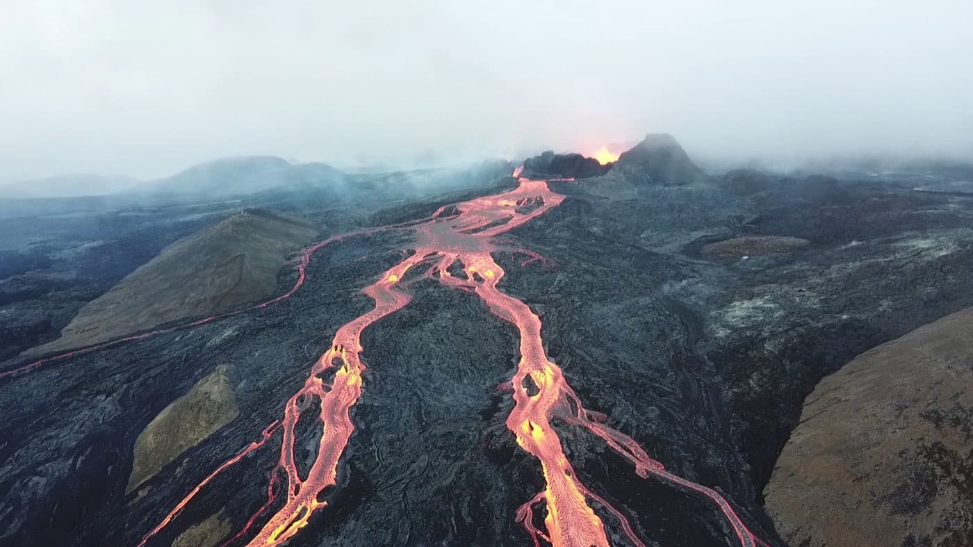
The Reykjanes peninsula around Keilir is a volcanic area that has seen recent eruptions near Fagradalsfjall. You can compare Reykjanes tours to see the current options.
Plan the journey
The Driving Distance Calculator can help you sequence Keilir with nearby sights without overfilling the day.