The Reykjanes peninsula is in southwest Iceland, close to the capital area and the main international airport. It is one of the few places on land where the Mid-Atlantic Ridge rises above sea level. The peninsula was recognised as a UNESCO Global Geopark in 2015.
What and where Reykjanes is
The Reykjanes peninsula is in southwest Iceland. It sits close to the capital area and the main international airport at Keflavik, so it is often the first and last part of Iceland that visitors see.
Where the Mid-Atlantic Ridge comes ashore
The Reykjanes peninsula is one of the few places on land where the Mid-Atlantic Ridge rises above sea level. Here, the North American and Eurasian plates pull apart at about 2.5 centimetres a year.
A UNESCO Global Geopark
The peninsula was recognised as a UNESCO Global Geopark in 2015.
A volcanic peninsula
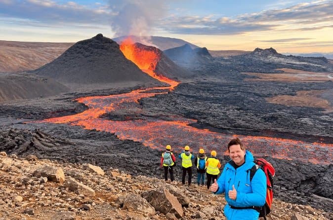
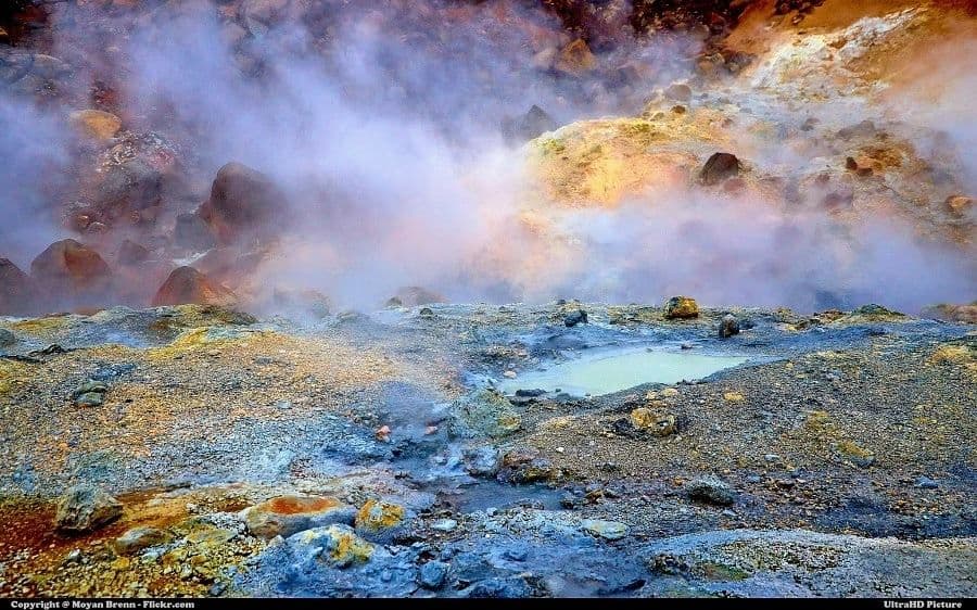
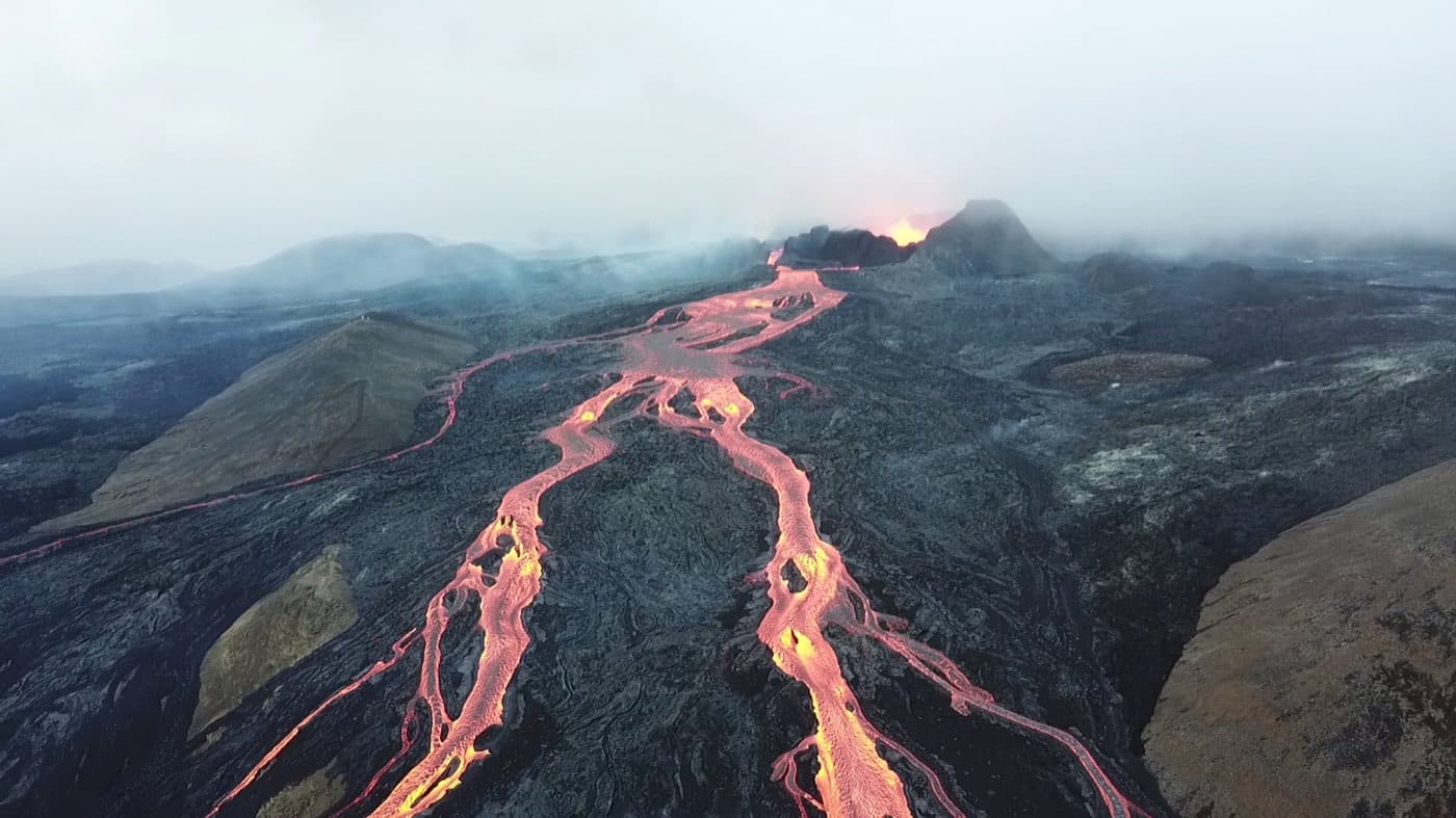
Reykjanes is one of Iceland's most active volcanic regions. The landscape includes lava fields, fissures, and geothermal grounds such as Gunnuhver and Seltun, with hot springs and boiling mud pools.
Since 2021 the peninsula has entered a more active volcanic period, with earthquakes and eruptions, beginning with the Fagradalsfjall eruptions. For live conditions, check safetravel.is.
Exploring the Reykjanes Peninsula
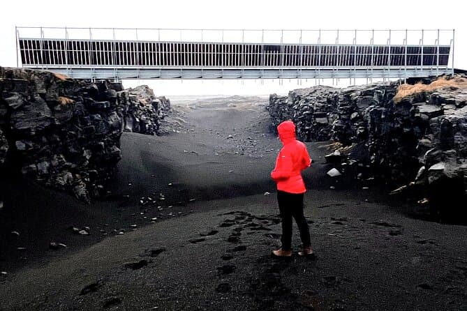
The peninsula brings together tectonic and volcanic features in a compact area in southwest Iceland, close to the route from Keflavik Airport. Its sights are strung around the coast: the geothermal Blue Lagoon, the Bridge Between Continents, the lighthouse and cliffs at Reykjanesviti and Valahnukamol, the lake at Kleifarvatn, and the bird cliffs of Krysuvikurberg. If you want to compare options, see Reykjanes tours.
Build a sensible route
Before setting off, use the Driving Distance Calculator to compare the Reykjanes Peninsula with the other places you plan to visit.