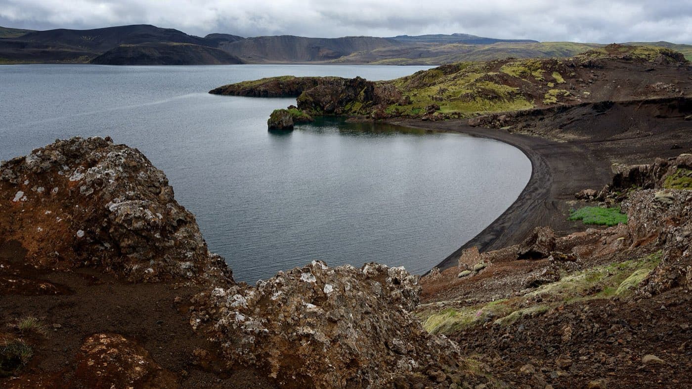
No lake on the Reykjanes peninsula is larger than Kleifarvatn, which lies in the southern part of the peninsula and covers roughly 9.7 square kilometres. A depth of about 97 metres was recorded there in 1975. Earthquakes in 2000 then changed the lake sharply.
What and where Kleifarvatn is
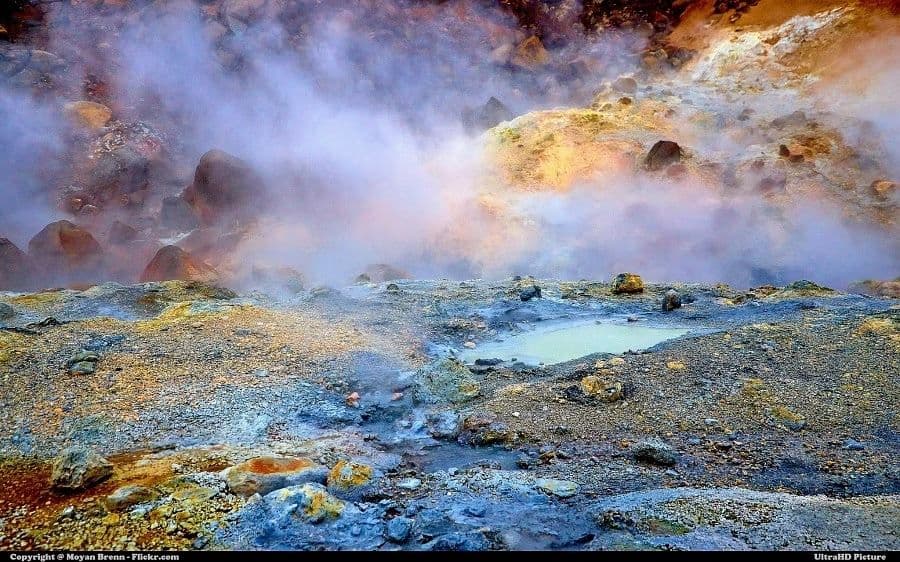
Kleifarvatn is a lake in the southern part of the Reykjanes peninsula in Iceland, in the Krysuvik area close to the Seltun geothermal field.
The largest lake on Reykjanes
Kleifarvatn is the largest lake on the Reykjanes peninsula. It covers about 9.7 square kilometres, and its greatest recorded depth was about 97 metres in 1975.
A lake fed from below
The lake lies on the fissure zone of the Mid-Atlantic Ridge. It has no visible inflow or outflow, as most of its water moves underground.
The earthquake that drained it
Earthquakes in 2000 opened cracks in the lakebed and drained more than a fifth of the lake's surface. The water level fell sharply, then began to rise again from 2004.
Seeing Kleifarvatn on Reykjanes
For live conditions, check safetravel.is. To compare options in the area, see Reykjanes tours.
Map the drive
Use the Driving Distance Calculator to see how Kleifarvatn fits with the other places on your route.