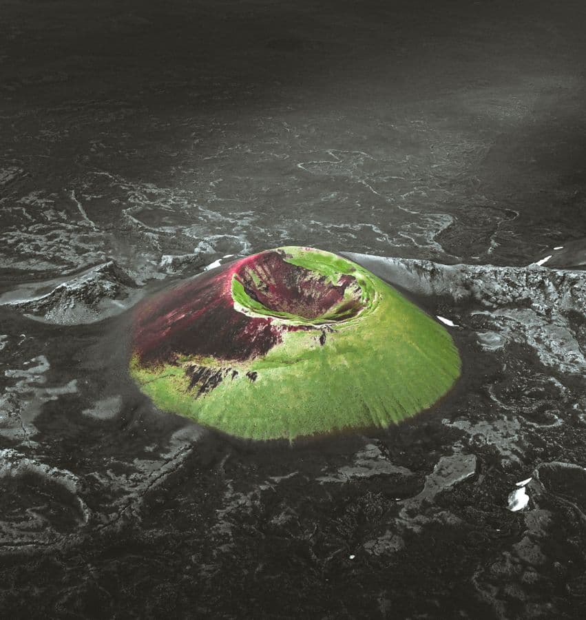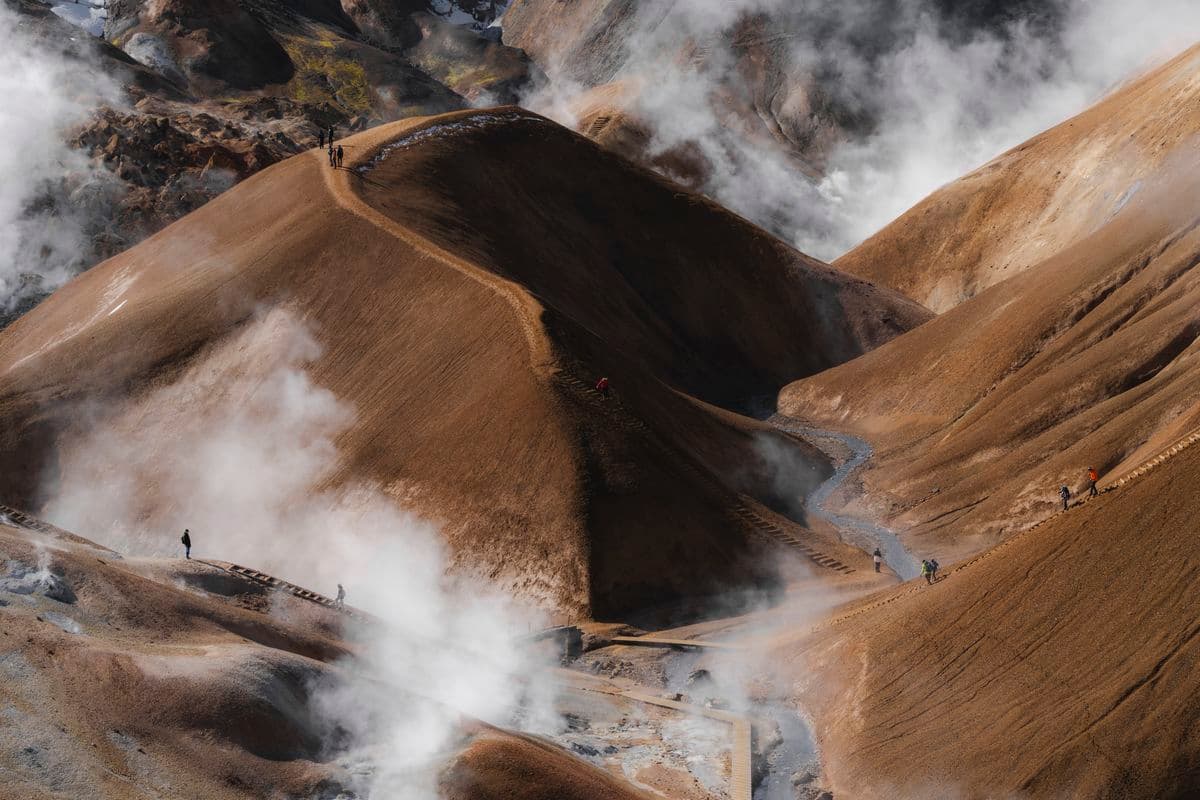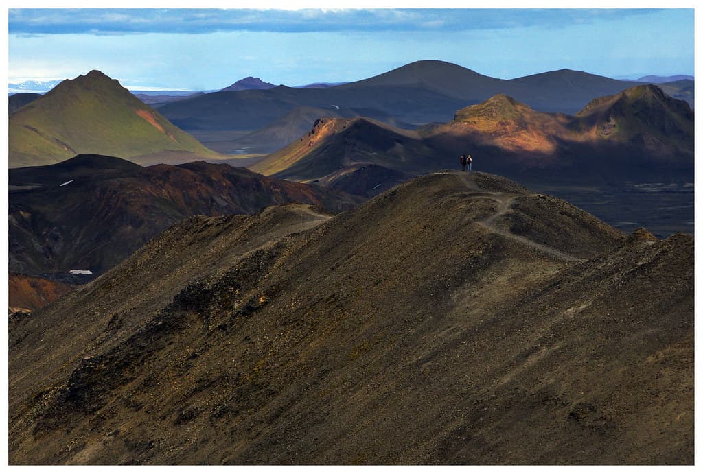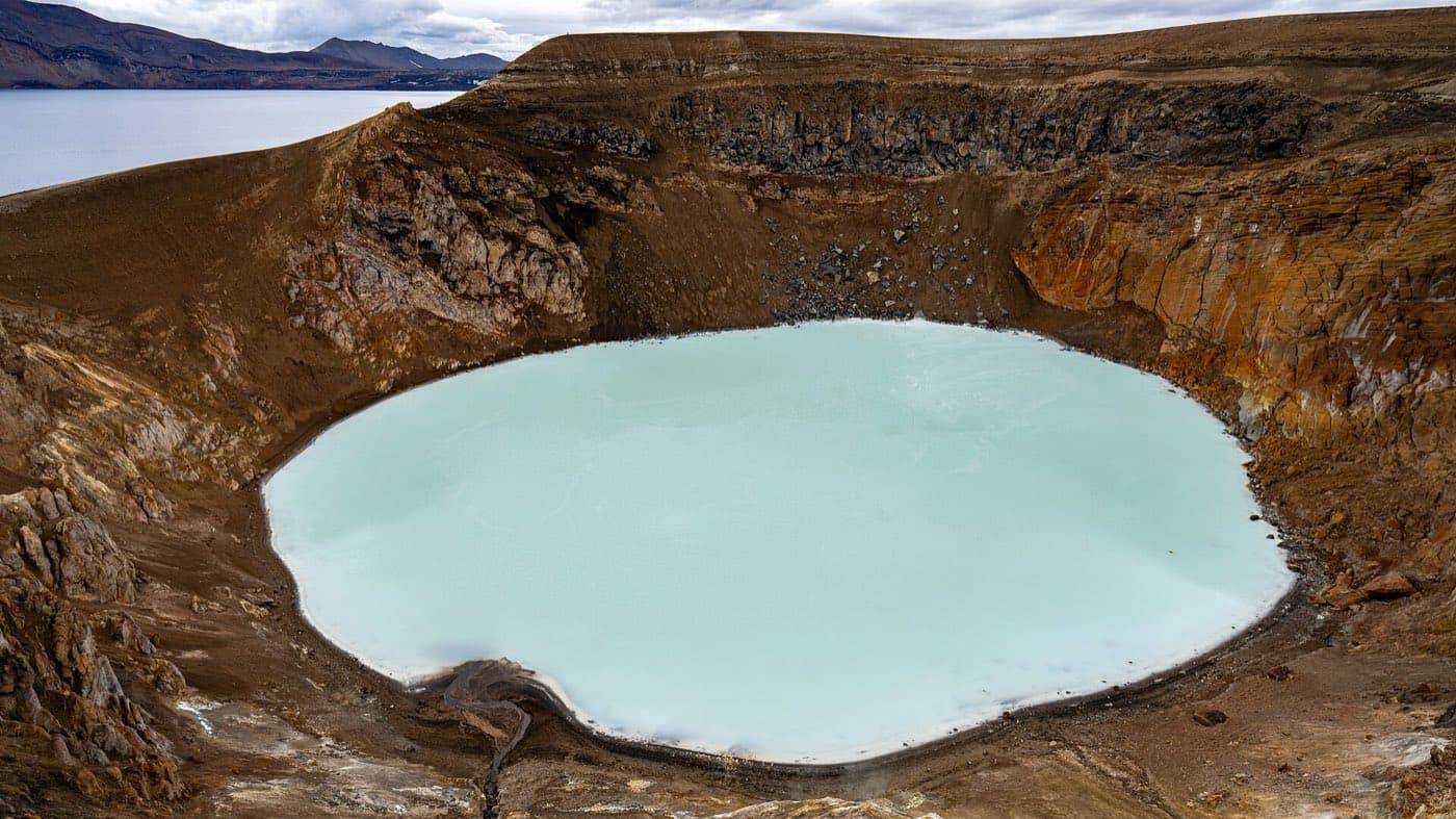
Lakagigar, or the Laki craters, is a row of volcanic craters in the highlands of south Iceland, southwest of the Vatnajokull ice cap. It is a fissure lined with about 130 craters. The fissure runs about 27 kilometres.
What Lakagigar is
Lakagigar lies within Vatnajokull National Park. It is reached on rough highland F-roads in summer.
The 1783 eruption
The craters formed in a huge fissure eruption that ran from June 1783 to February 1784. It was one of the largest lava eruptions in recorded history. The eruption released clouds of gas that killed much of Iceland's livestock and led to a famine. The haze and cooling from the eruption were felt across Europe. The region around Kirkjubaejarklaustur was devastated by the eruption.
Visiting Lakagigar and highland tours
Access depends on highland road conditions, which can be checked on road.is and safetravel.is. You can compare highland tours to see the current options.
Look at the roads first
Use Iceland road conditions alongside this guide to Lakagigar, particularly when weather may affect access.