Vatnajokull is the largest ice cap in Iceland, in the south-east of the country, and it covers about 7 percent of Iceland. Its area was around 7,600 square kilometres in 2023. The ice is about 380 metres thick on average, and up to about 950 metres at its deepest.
What and where Vatnajokull is
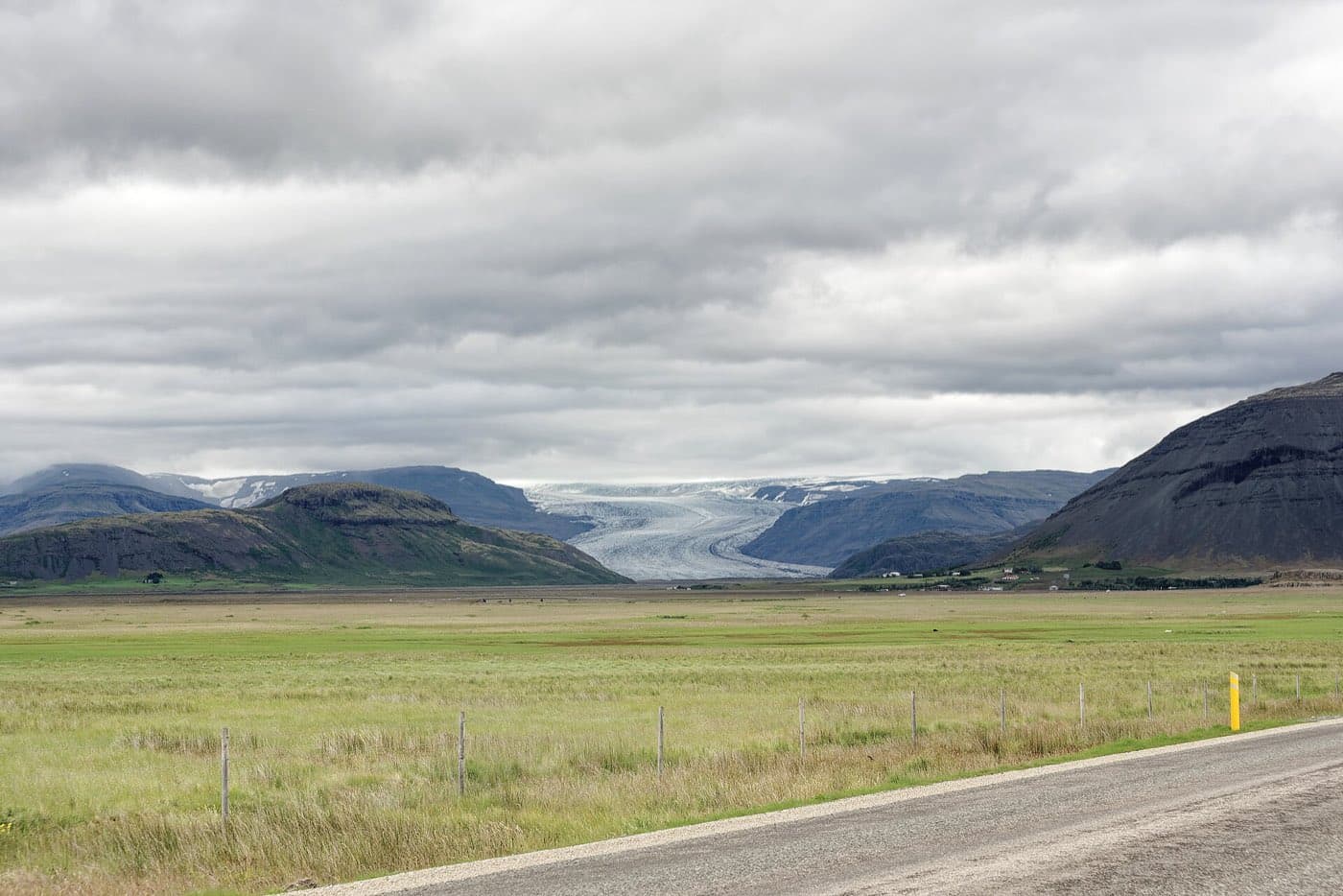
Vatnajokull is an ice cap in the south-east of Iceland. It is the largest ice cap in Iceland and covers about 7 percent of the country.
The size of the ice cap
Vatnajokull had an area of around 7,600 square kilometres in 2023. Its ice is about 380 metres thick on average, and up to about 950 metres at its deepest.
Outlet glaciers and the highest peak
Around 30 outlet glaciers flow down from the ice cap, including Breidamerkurjokull, which feeds the Jokulsarlon lagoon. Iceland's highest peak, Hvannadalshnjukur, rises at the southern edge of Vatnajokull near Skaftafell, at about 2,110 metres.
Vatnajokull National Park
The ice cap lies within Vatnajokull National Park, one of Iceland's UNESCO World Heritage sites. Several volcanoes sit beneath the ice, and their eruptions can cause glacial outburst floods, known as jokulhlaups. For live conditions, check safetravel.is.
Visiting Vatnajokull's glaciers
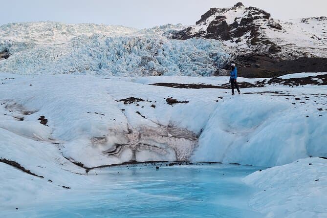
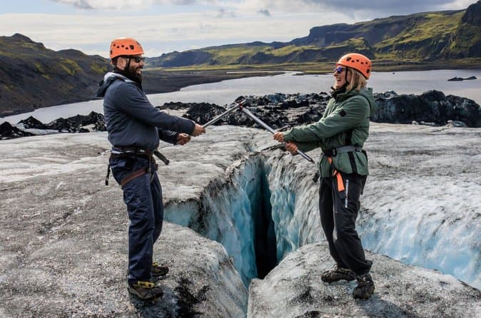
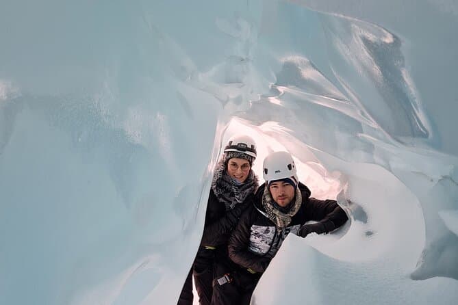
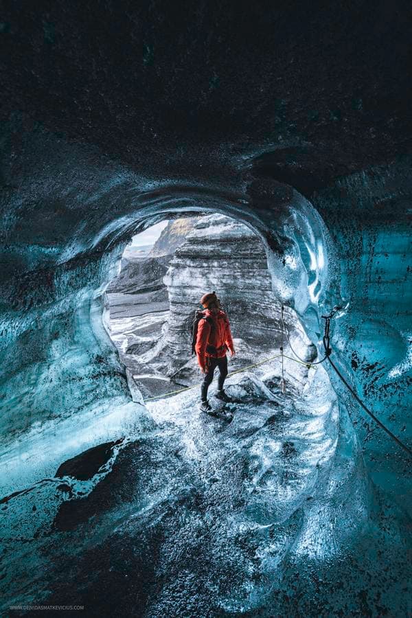
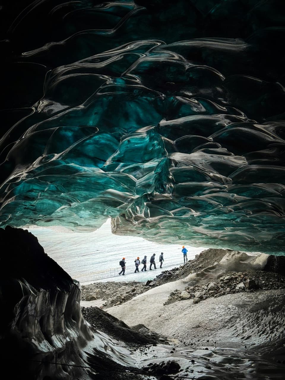
Vatnajokull is a large ice cap with around 30 outlet glaciers extending from it, and visits often focus on glacier areas rather than the full ice cap itself. Skaftafell is the usual base for those, and a half-day Vatnajokull glacier tour from Skaftafell is a common first outing. Our comparison of Vatnajokull ice cave and glacier walk trips covers the combined outings, which is how most people see the ice cap. To compare options, see ice cave tours.
Look at the roads first
Use Iceland road conditions alongside this guide to Vatnajokull Glacier, particularly when weather may affect access.