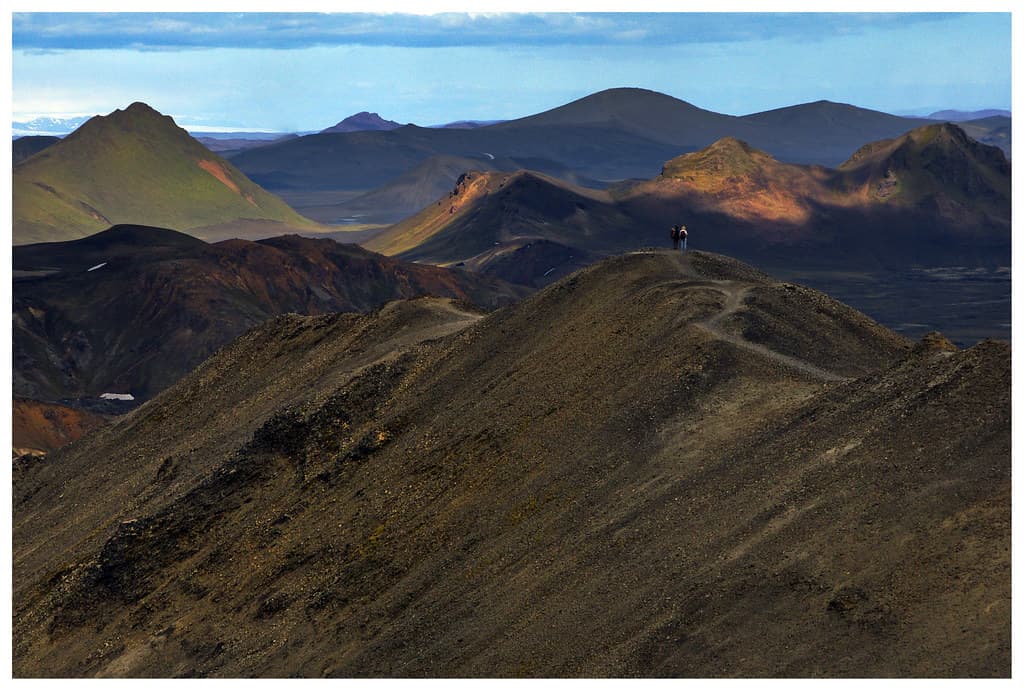
Langisjor is a remote lake in the highlands of Iceland, within Vatnajokull National Park. It is about 20 kilometres long, roughly 2 kilometres wide, covers around 27 square kilometres, and reaches about 74 metres at its deepest.
What and where Langisjor is
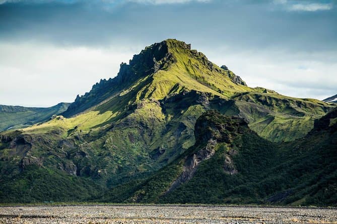
Langisjor is in the highlands of Iceland, inside Vatnajokull National Park on the western edge of the Vatnajokull region. The name Langisjor means long lake.
A long, narrow lake
The lake is about 20 kilometres long and roughly 2 kilometres wide. Its total area is around 27 square kilometres. At its deepest point, it reaches about 74 metres.
How it formed
The colour of the water
The water often looks blue or turquoise. It is among the clearest mountain lakes in Iceland.
Reaching Langisjor in the highlands
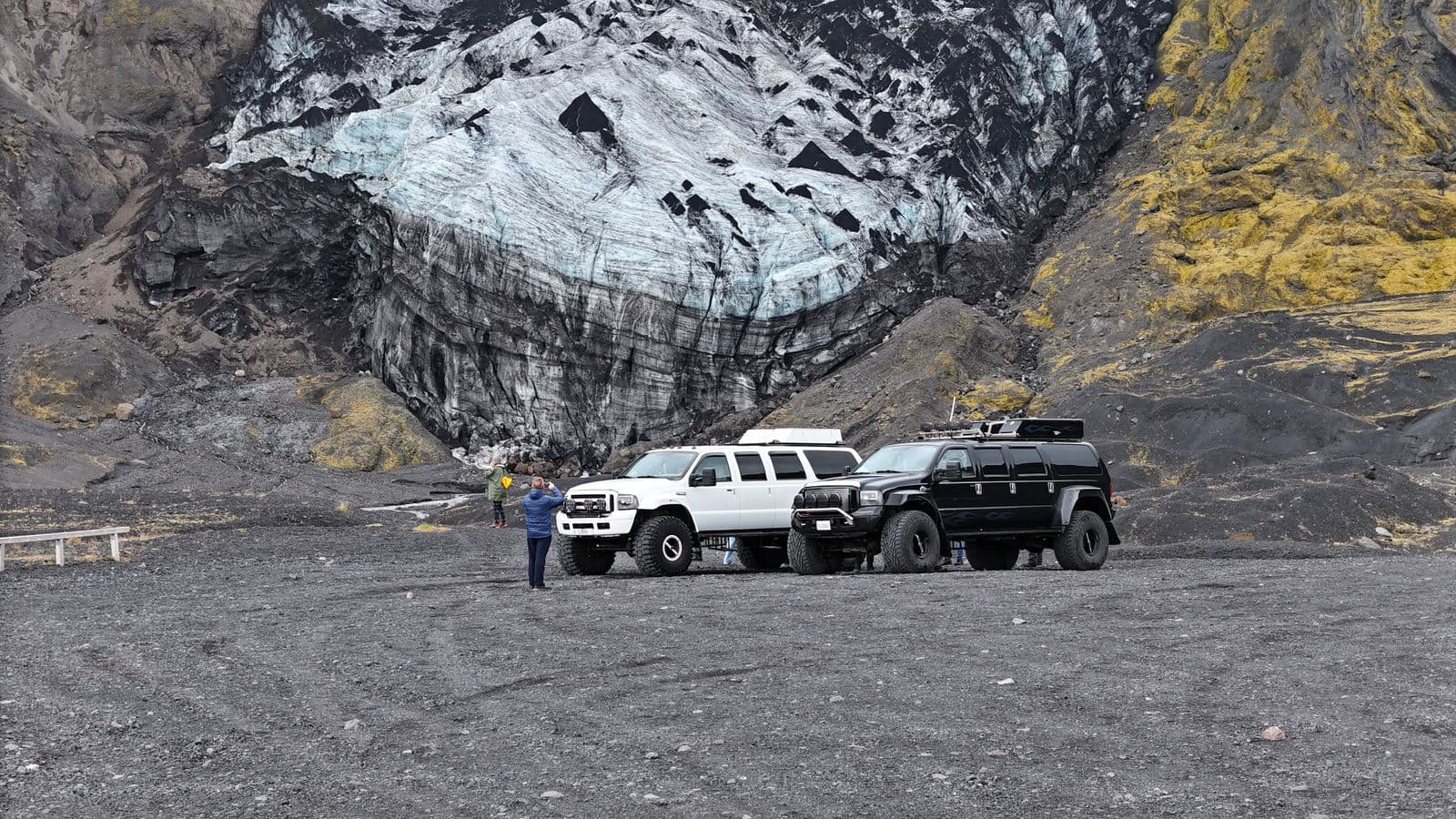
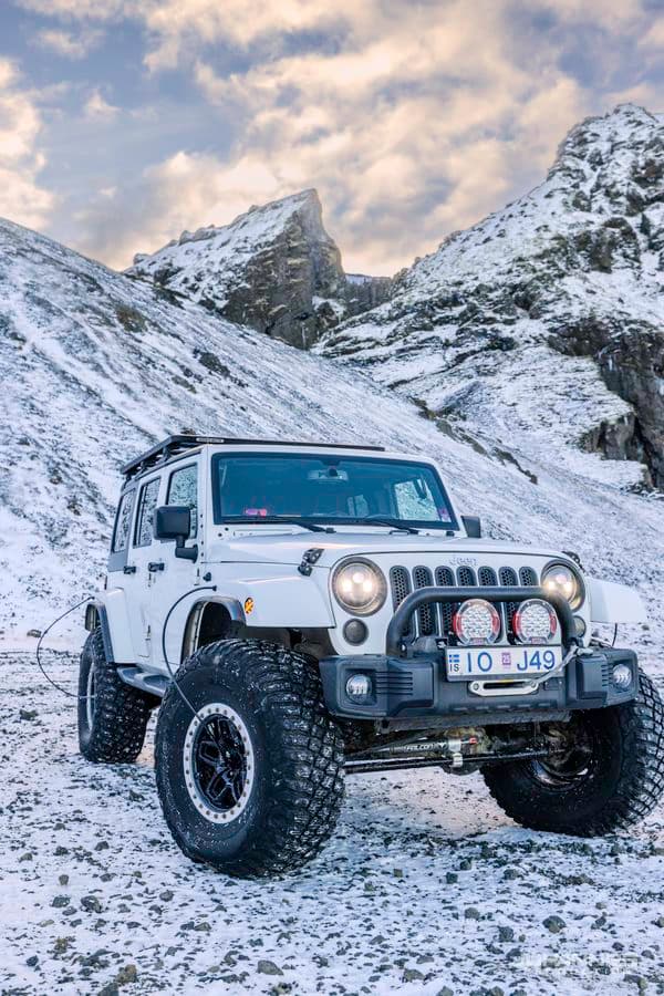
Langisjor is reached on highland F-roads in summer, on the same Fjallabak network that leads to Eldgja and Landmannalaugar. For live conditions, check road.is and safetravel.is. To compare options, see Highlands tours.
Confirm the route is suitable
Iceland road conditions is worth checking before you travel to or near Langisjor, especially in variable weather.