Iceland's South Coast is the stretch of coastline in the south of the country followed by Route 1, also called the Ring Road. Reykjavik to Seljalandsfoss is about 130 kilometers, Reykjavik to Vik is about 187 kilometers and roughly 2.5 hours of driving without stops, and Reykjavik to Jokulsarlon is about 377 kilometers and roughly 4.5 to 5 hours of driving one way without stops. Many travelers set aside 2 to 3 days to see the South Coast properly rather than rushing it in a single day.
Where the south coast is and how to drive it
Iceland's South Coast is the stretch of coastline in the south of the country followed by Route 1, also called the Ring Road. The South Coast is commonly driven east from Reykjavik as a long day trip or a multi-day road trip. Reykjavik to the waterfall Seljalandsfoss is about 130 kilometers along the Ring Road. Reykjavik to the village of Vik is about 188 kilometers and takes about 2 hours 50 minutes of driving without stops. Reykjavik to Jokulsarlon glacier lagoon is about 377 kilometers, roughly 4.5 to 5 hours of driving one way without stops. Many travelers set aside 2 to 3 days to see the South Coast properly rather than rushing it in a single day. You can use the driving distance tool for Route 1 distances.
The famous waterfalls of the south coast
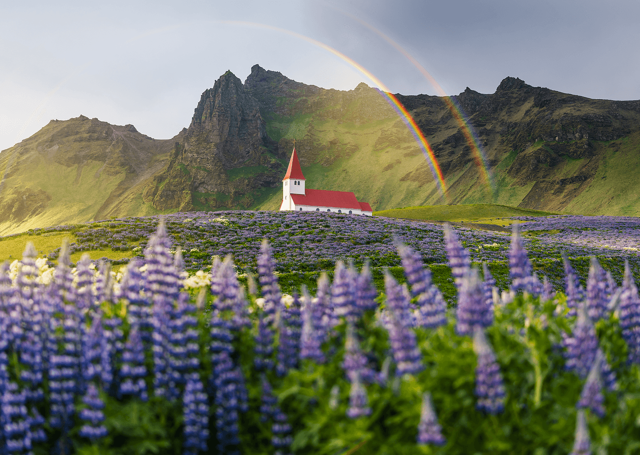
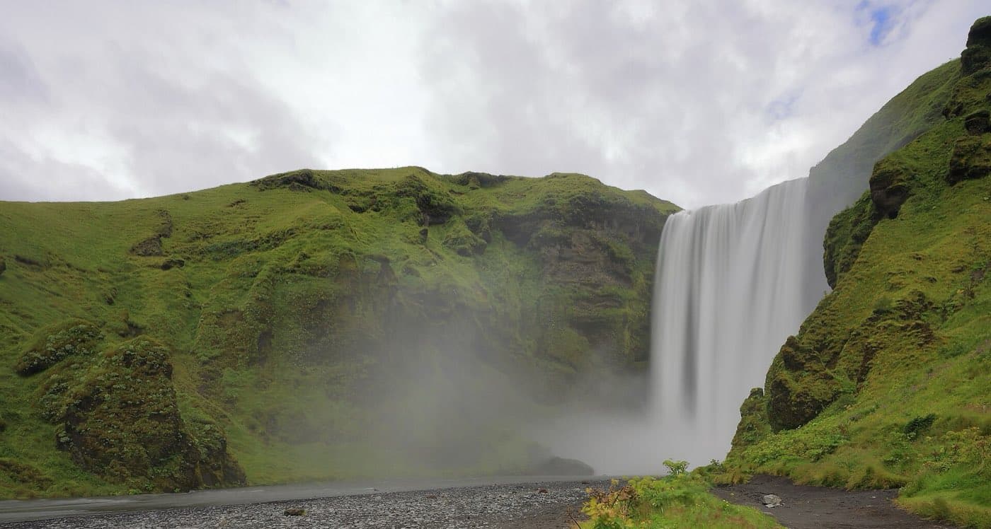
Seljalandsfoss is one of the few waterfalls in Iceland with a path that lets visitors walk behind the falling water. Seljalandsfoss is fed by meltwater from the Eyjafjallajokull glacier and volcano. Eyjafjallajokull erupted in 2010, producing an ash cloud that disrupted air travel across Europe. Gljufrabui is a partly hidden waterfall tucked into a cleft a short walk from Seljalandsfoss. Skogafoss is about 60 meters high and about 25 meters wide. A staircase of 527 steps climbs the cliff beside Skogafoss to a viewing platform at the top. On sunny days the heavy spray from Skogafoss often produces rainbows. More facts are in this Skogafoss waterfall guide.
Black sand beaches, sea stacks and the village of Vik
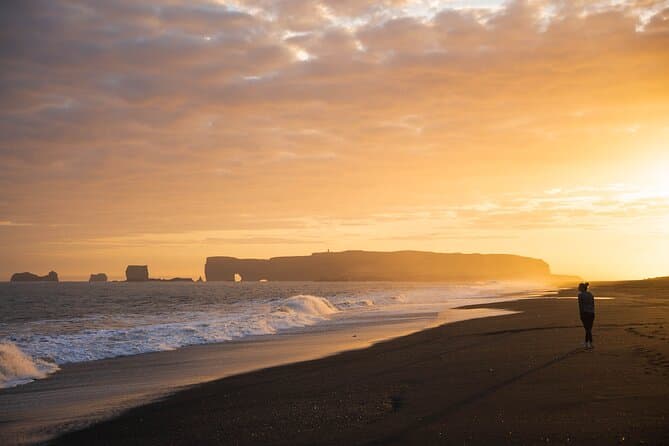
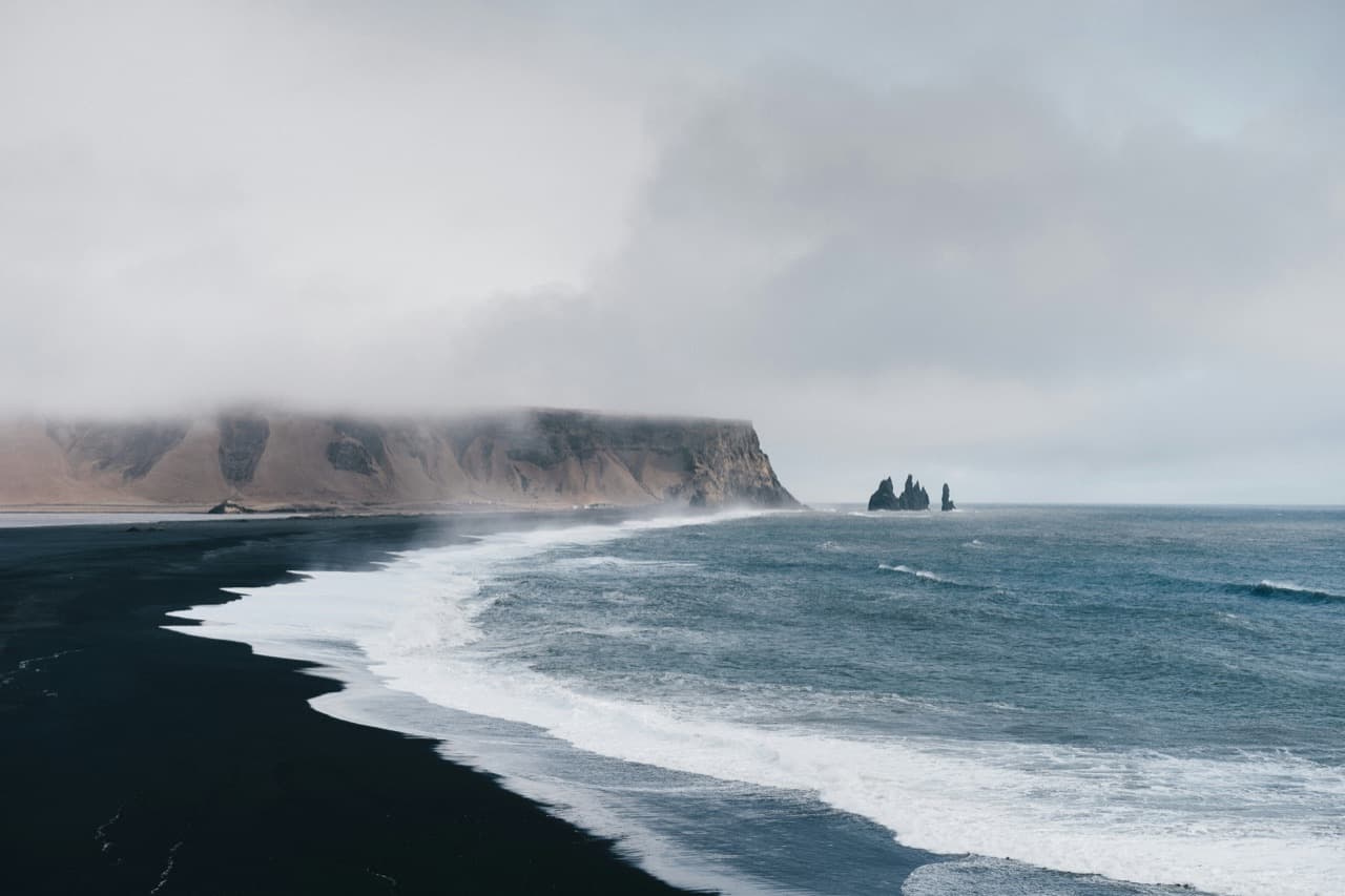
Reynisfjara is a black sand beach near Vik known for its basalt columns and the Reynisdrangar sea stacks rising offshore. A warning light system at Reynisfjara marks yellow and red zones, and visitors must stay behind the sign when the red light is flashing. Halsanefshellir is a cave in the basalt cliffs at the eastern part of Reynisfjara, an area also prone to rockfall. Dyrholaey is a 120 meter high promontory near Vik with a large natural sea arch eroded through the rock. When the sea is calm, boats can sail through the Dyrholaey arch. Dyrholaey has been a nature reserve since 1978 and is a good place to see puffins in summer. Vik i Myrdal is often described as the southernmost village in Iceland. The Solheimasandur plane wreck is a US Navy Douglas C-117 that crash landed on the black sand on November 21, 1973, and all 7 crew members survived. The walk to the Solheimasandur wreck is about 3.5 kilometers each way across flat black sand and takes roughly 45 minutes each way. Reynisfjara safety details are in this Reynisfjara safety guide.
Glaciers, ice caves and Jokulsarlon glacier lagoon
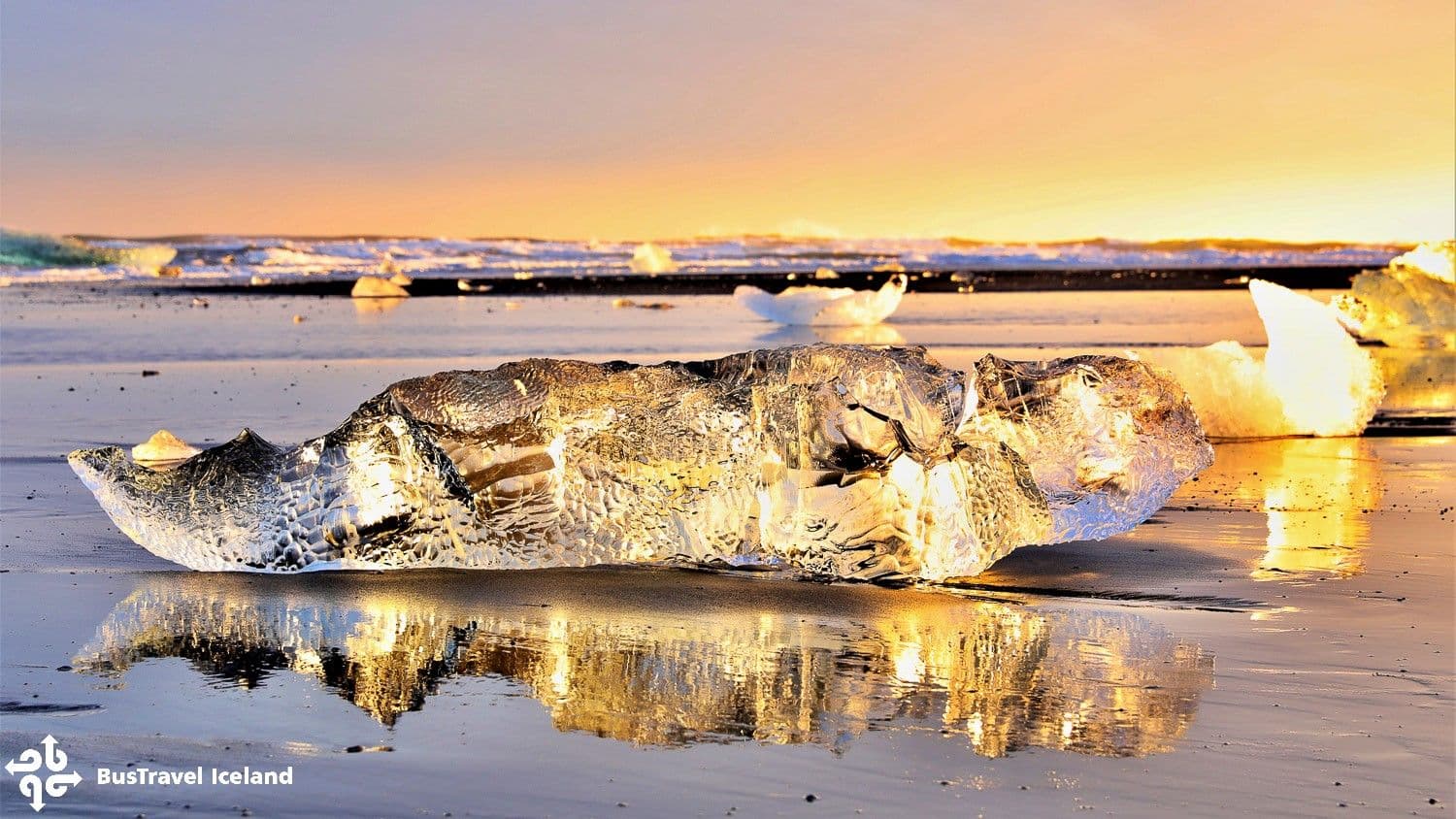
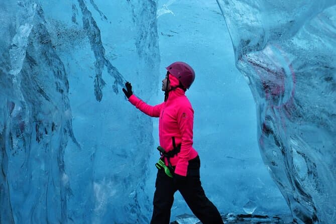
Solheimajokull is an outlet glacier of the Myrdalsjokull ice cap and a popular place for guided glacier hikes. The Katla volcano lies beneath the Myrdalsjokull ice cap. Vatnajokull is the largest glacier in Iceland and one of the largest ice caps in Europe by volume. Vatnajokull covers about 7 percent of Iceland, with an area of roughly 7,600 square kilometers in 2023. Vatnajokull holds about 3000 cubic kilometers of ice, with an average thickness of about 380 meters and a maximum of about 950 meters. Skaftafell is a nature area within Vatnajokull National Park and is home to the waterfall Svartifoss. Svartifoss is backed by hexagonal basalt columns said to have inspired the design of Reykjavik's Hallgrimskirkja church, and it is about a 45 minute walk from the Skaftafell car park. Jokulsarlon is a glacier lagoon fed by the Breidamerkurjokull outlet glacier and is the deepest lake in Iceland, reaching 248 metres. Jokulsarlon covers about 25 square kilometers and began forming in the 1930s as the glacier retreated. Some icebergs floating in Jokulsarlon are over 1000 years old. Diamond Beach is the black sand shore beside Jokulsarlon where stranded chunks of ice glitter on the sand.
How much time to set aside and staying safe
Many travelers set aside 2 to 3 days to see the South Coast properly rather than rushing it in a single day. Ice caves inside Vatnajokull are visited on guided tours mainly in winter, when the ice is stable enough to enter. Reynisfjara is dangerous because of sneaker waves, unexpectedly large waves that surge much farther up the beach and can sweep an adult out to sea.
Compare south coast tours and day trips
You can compare South Coast tours and day trips here: South Coast tours.