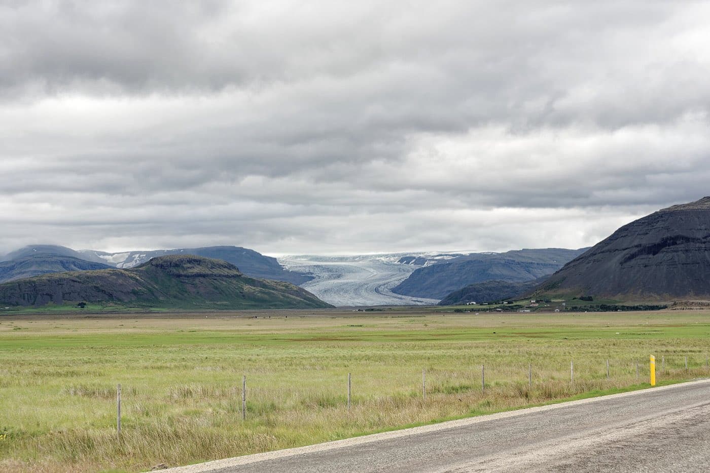
Glaciers cover around 10 percent of Iceland's land area. Iceland's glaciers are ice caps that feed outlet glaciers flowing into valleys. Glacier hikes and natural ice-cave visits are done on guided tours, and the natural ice-cave season runs between November and March.
How much of Iceland is covered by ice and how glaciers form
Glaciers cover around 10 percent of Iceland's land area. Iceland's glaciers are ice caps, dome-shaped masses of ice that feed narrower tongues of ice called outlet glaciers flowing down into the valleys. Ice caps build up over time as layers of snow are compressed into ice.
Vatnajokull and its outlet glaciers in the southeast
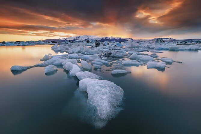
Vatnajokull is the largest and most voluminous ice cap in Iceland. Vatnajokull is the largest ice cap in Europe by volume. Vatnajokull sits in the southeast of Iceland. Vatnajokull had an area of about 7,600 square kilometres in 2023. The average thickness of Vatnajokull's ice is about 380 metres, and its maximum thickness is about 950 metres. Vatnajokull has around 30 outlet glaciers flowing from the ice cap. Vatnajokull National Park, which surrounds the ice cap, is a UNESCO World Heritage Site. Breidamerkurjokull ends at the Jokulsarlon glacial lagoon. Skaftafellsjokull is reached by a marked trail of about 3.7 kilometres round trip from the Skaftafell visitor centre to the glacier terminus.
Langjokull, Hofsjokull and Myrdalsjokull, the other great ice caps
Langjokull is Iceland's second largest glacier, with an area of about 820 square kilometres in 2023. Hofsjokull is Iceland's third largest glacier. Myrdalsjokull is Iceland's fourth largest ice cap, with an area of about 510 square kilometres in 2023. Myrdalsjokull sits over the Katla volcano. Katla is one of Iceland's most active volcanoes.
Snaefellsjokull, Drangajokull and Solheimajokull, glaciers that are easy to reach
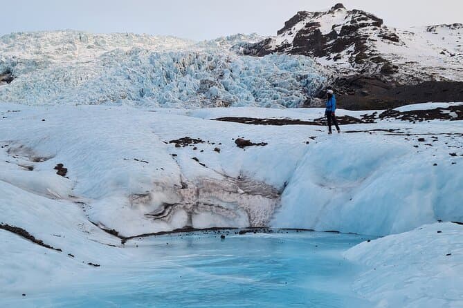
Snaefellsjokull is a glacier-capped stratovolcano at the western tip of the Snaefellsnes peninsula and stands 1446 metres tall. Snaefellsjokull can sometimes be seen from Reykjavik across Faxa Bay at a distance of about 120 kilometres. Snaefellsjokull is the setting for Jules Verne's 1864 novel Journey to the Center of the Earth. Drangajokull is Iceland's northernmost ice cap and the only major glacier in the Westfjords, and Iceland's fifth largest, with an area of about 136 square kilometres in 2023. Drangajokull is the only Icelandic ice cap that lies below an altitude of 1000 metres. Drangajokull lies more than 200 kilometres from Reykjavik. Solheimajokull is an outlet glacier of the Myrdalsjokull ice cap on the South Coast, known for blue ice streaked with volcanic ash. Solheimajokull lies about 158 kilometres east of Reykjavik along the Ring Road, roughly a 2 hour drive. Use the Driving Distance Calculator to help plan your trip.
How to walk on a glacier and step inside an ice cave
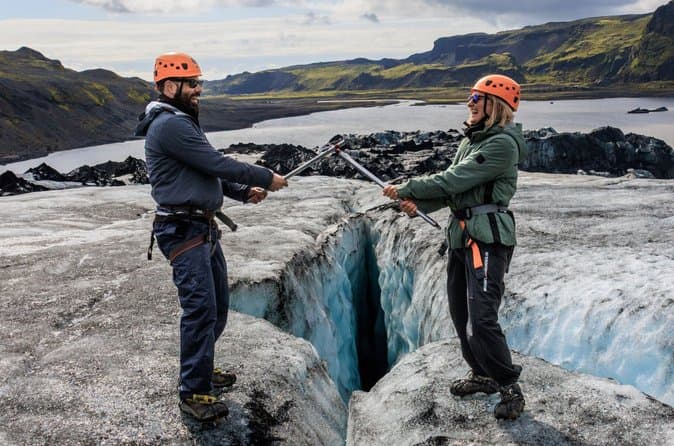
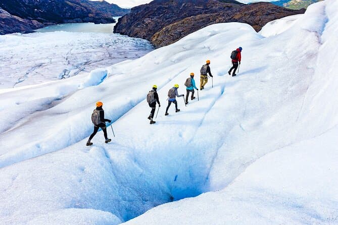
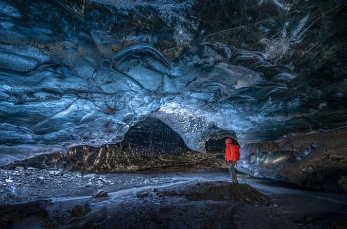
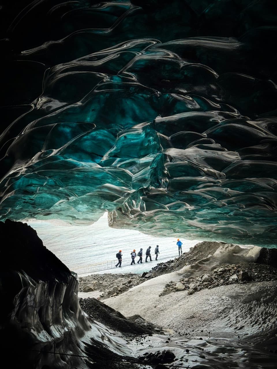
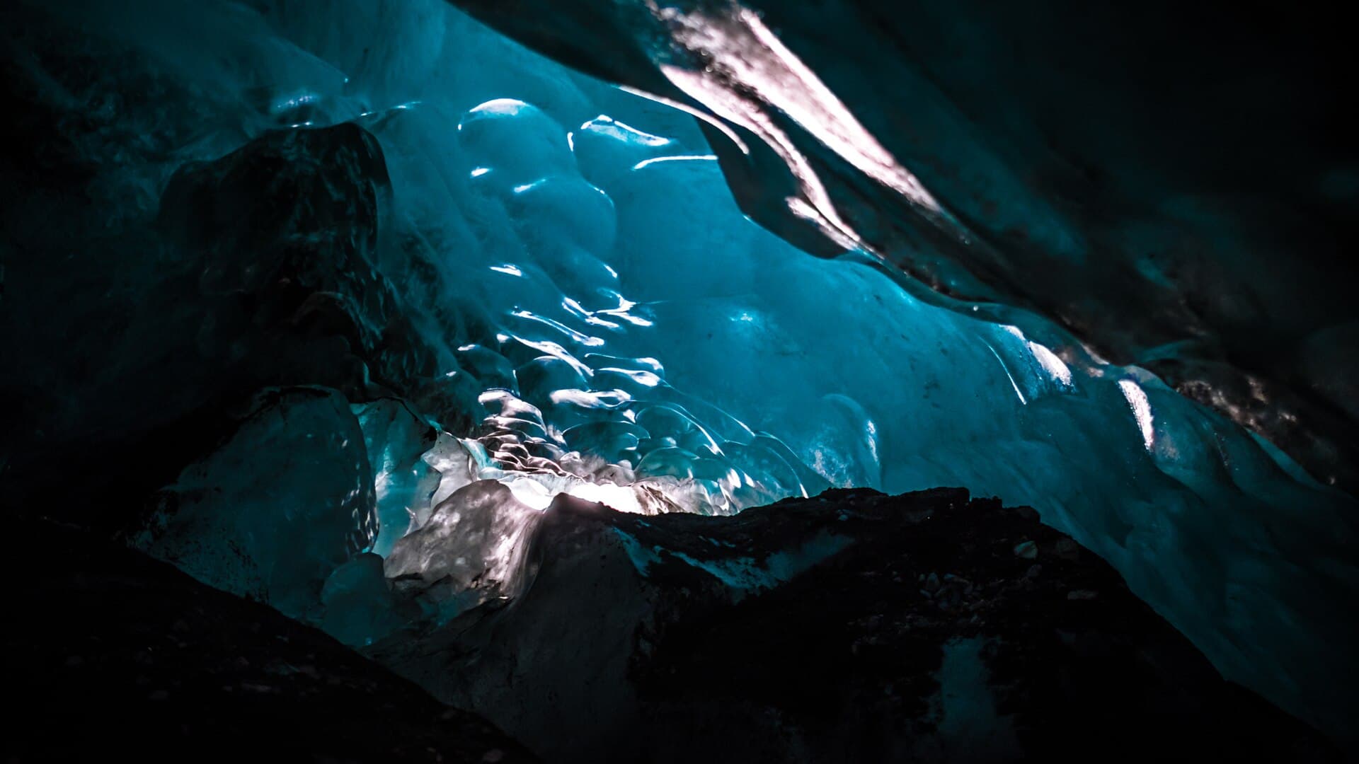
Glacier hikes and ice-cave visits are done only on guided tours with certified glacier guides. The best time to visit natural ice caves is between November and March, when consistent cold makes the ice stable. Ice caves form as summer meltwater carves tunnels through a glacier, which then stabilise as temperatures drop in winter. The most popular ice caves to visit are found in Vatnajokull. Tour operators supply the specialist equipment for the ice, including crampons, a helmet and a headlamp, while visitors bring warm waterproof clothing and sturdy hiking boots. In the southeast, Skaftafell is the usual starting point for a first walk on the ice, and a five-hour Skaftafell glacier hike is long enough to reach clean ice well beyond the crowded tongue. Glacier hikes in Iceland are done only on guided tours with certified glacier guides.
Comparing glacier and ice-cave tours to plan your visit
Most first-time visitors book a combined outing from the south coast, and our comparison of South Coast glacier hike and ice cave day tours sets out what those cover. You can compare ice cave tours to see the current options.