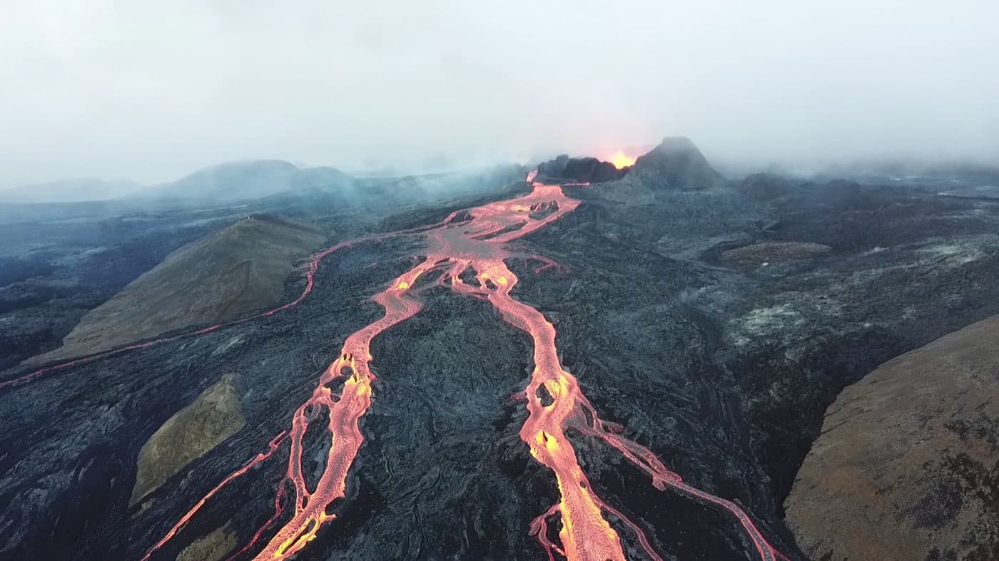
Iceland's volcanoes range from Hekla and Katla in the south to Krafla in the north and Snaefellsjokull in the west.
Why Iceland has so many volcanoes
Iceland sits on the Mid-Atlantic Ridge, where the North American and Eurasian plates are pulling apart.
Iceland also sits over a mantle plume, a volcanic hotspot beneath the Mid-Atlantic Ridge.
The main volcanoes to know across Iceland's regions
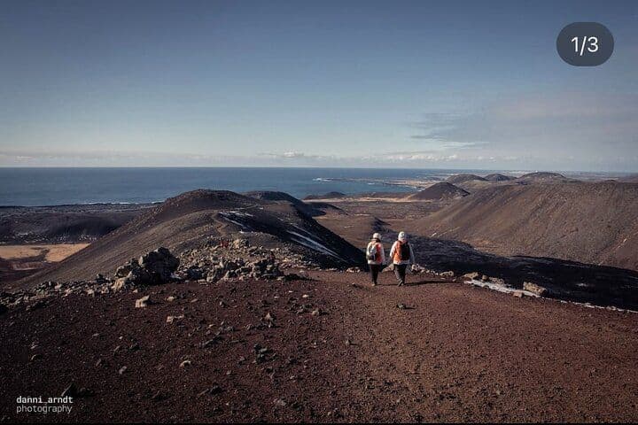
The Reykjanes Peninsula in the southwest is a section of the Mid-Atlantic Ridge on land and hosts several volcanic systems.
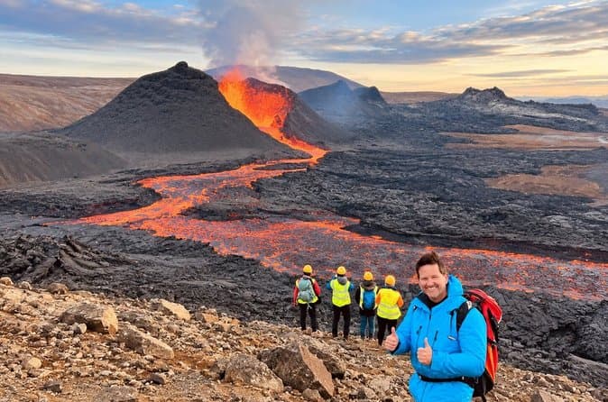
An eruption at Fagradalsfjall on the Reykjanes Peninsula ended centuries of volcanic quiet on the peninsula.
Hekla is a volcano in south Iceland. Hekla has erupted 23 times in roughly the last thousand years and last erupted in 2000.
Katla lies beneath the Myrdalsjokull ice cap in south Iceland and has an ice-filled caldera. Katla has erupted at least 20 times in recorded history and last erupted in 1918.
Eyjafjallajokull is an ice-capped volcano in south Iceland.
Grimsvotn lies beneath the Vatnajokull ice cap and is the most active volcano in Iceland.
Krafla in the north last erupted in an episode of eruptions in the late twentieth century. Askja's fissure swarm extends from beneath Vatnajokull.
Snaefellsjokull is a glacier-capped volcano at the tip of the Snaefellsnes Peninsula in west Iceland.
Famous eruptions that shaped the country
The Laki eruption caused devastating livestock losses and a famine in which many people in Iceland died.
An eruption of Eyjafjallajokull closed much of European airspace.
Eldfell formed in an eruption on Heimaey in the Westman Islands that buried many houses under tephra and lava.
The island of Surtsey formed in eruptions from 1963 to 1967.
How to see a volcano safely in Iceland
The Icelandic Meteorological Office monitors seismicity, ground deformation and gas emissions at Icelandic volcanoes and issues alerts, with information published at vedur.is.
Safetravel publishes site status and safety advice for eruption areas.
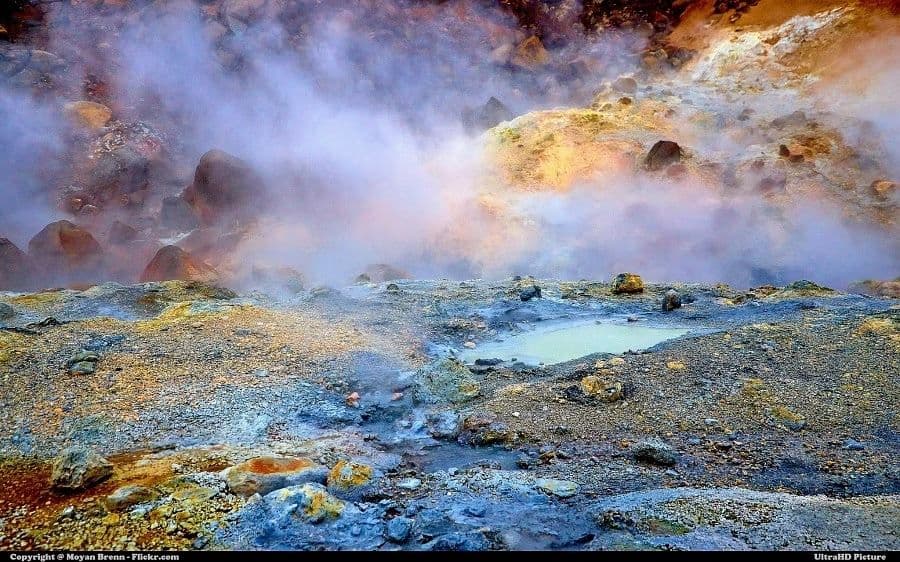
Volcanic gases such as sulphur dioxide can collect in low ground near eruption sites and are a hazard to visitors.
Eruptions under ice caps, such as at Grimsvotn and Katla, are accompanied by glacial outburst floods called jokulhlaups.
Katla Geopark is a UNESCO Global Geopark, and Reykjanes is a UNESCO Geopark.
Use the Road Conditions to help plan your trip.
Where to learn more and compare volcano tours
You can compare Reykjanes tours to see the current options.