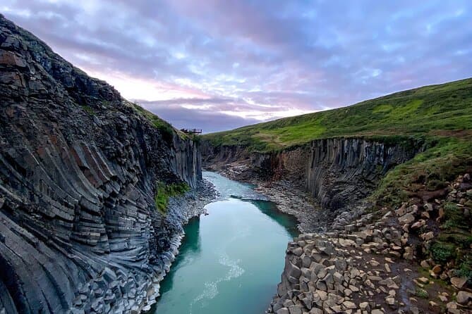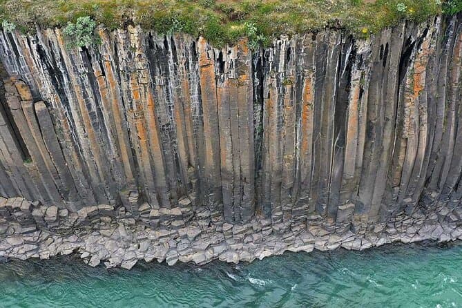
Some of the oldest bedrock in Iceland lies in Eastern Iceland.
Reaching East Iceland in summer
Egilsstadir in east Iceland is about 631 km from Reykjavik by the year-round route through the north, about a 9 hour 15 minute drive without stops.
As an alternative to the Ring Road, Route 95 runs through Breiddalur and then climbs over Breiddalsheidi, which is itself an ancient, eroded volcano. Route 95 ends at Egilsstadir.
Use the Driving Distance Calculator to help plan your trip.
Mountain roads are open only a couple of months a year, and they are usually closed from mid September until June or July. An F-road needs a medium size four-wheel-drive vehicle or bigger, and some F-roads take only a large one because of the rivers and the ground clearance needed. A small two-wheel-drive car is not a suitable vehicle for them.
Winter conditions can occur in spring and autumn as well as in winter, and driving on icy roads can be very challenging.
The highlands west of Egilsstadir
Laugarfell is in the eastern part of the Icelandic highlands, a little north of Mount Snaefell, on the heath Fljotsdalsheidi. Two natural pools sit at Laugarfell, and according to old folk tales the water is known for its healing powers.
Reindeer can be expected in the area around Laugarfell. A marked hiking circle called the Waterfall Circle starts and ends at Laugarfell and leads through rugged and varied highland.
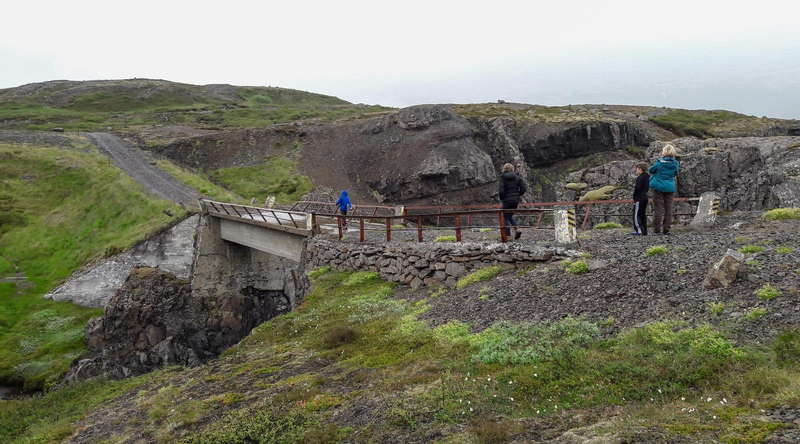
Mountain road F910 leads towards Snaefell and is usually accessible from early July onward. Some highland routes include unbridged rivers that have to be forded, and no insurance covers damage to a vehicle while crossing a river.
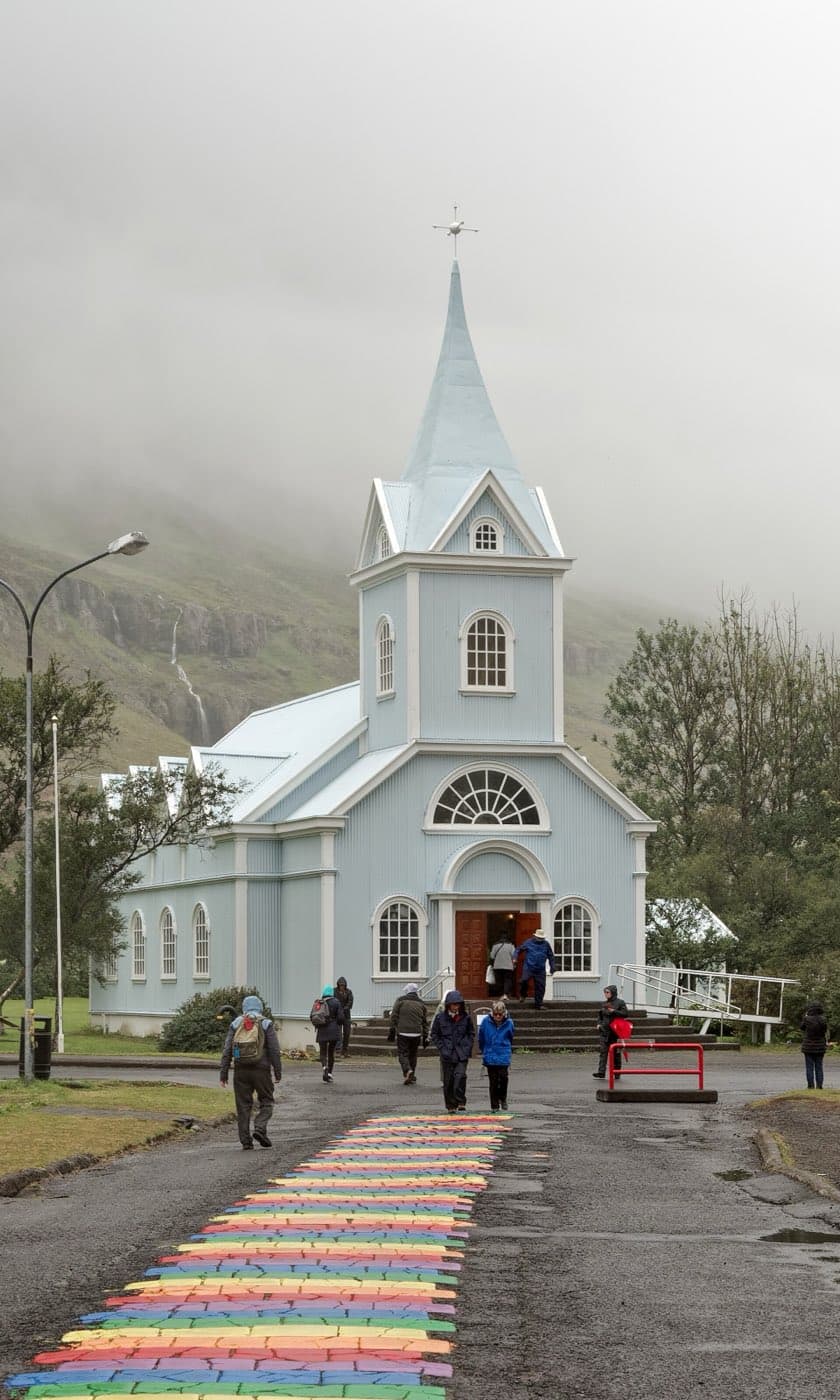
Seydisfjordur and the Fjardarheidi pass
Gufufoss is a waterfall in the river Fjardara, well in along Seydisfjordur on the Seydisfjordur side of the Fjardarheidi pass, with the river continuing up the valley above the falls.
Gufufoss is on the way down to the town. The name comes from the heavy steam or mist the waterfall gives off, which wraps it in a certain mystery, and it can be read as steam waterfall.
Fjardarheidi carries the highest mountain road in Iceland serving a town that has only one road connection. On the days the Norrona ferry arrives or departs, traffic over Fjardarheidi is very heavy.
The central Eastfjords
Reydarfjordur is the longest and the widest of Iceland's Eastfjords. Allied forces kept a base at Reydarfjordur during the Second World War, and remains of it can still be seen, from old barracks to small gun shelters.
Iceland spar, silfurberg in Icelandic, is a particularly clear crystal of the rock calcite. The Iceland spar at Helgustadanama is protected and it is strictly forbidden to remove any of it from the mine.
Breiddalsvik sits on the shore of a bay at Breiddalur, which is the longest and widest of the valleys in East Iceland and the broadest valley in the Eastfjords.
Puffins and the south of the region
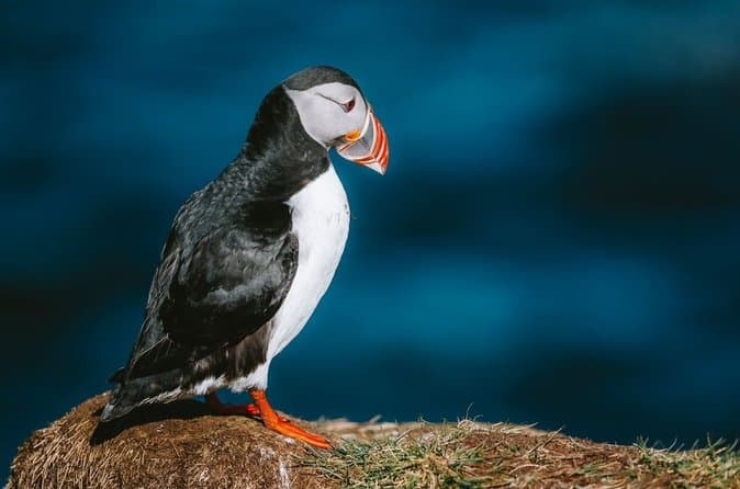
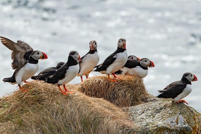
Other puffin sites include Dyrholaey, Ingolfshofdi, Grimsey, Hafnarholmi at Borgarfjordur eystri, and Akurey and Lundey off Reykjavik.
The best time to see puffins is from May to mid-August, and most have left by September.
Teigarhorn is one of the best known places in the world where zeolites are found. Removing zeolites from the area without the permission of the Environment Agency of Iceland is prohibited.
The highest temperature ever recorded in Iceland was 30.5 degrees Celsius, measured at Teigarhorn on 22 June 1939.
Comparing East Iceland tours
You can compare East Iceland tours to see the current options.