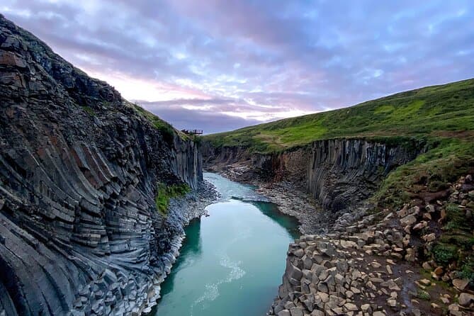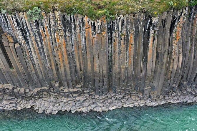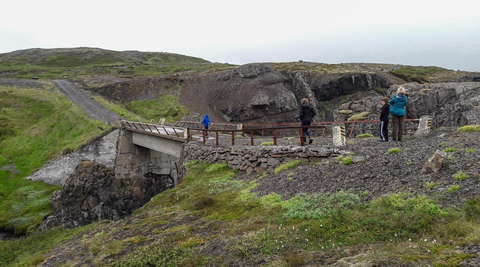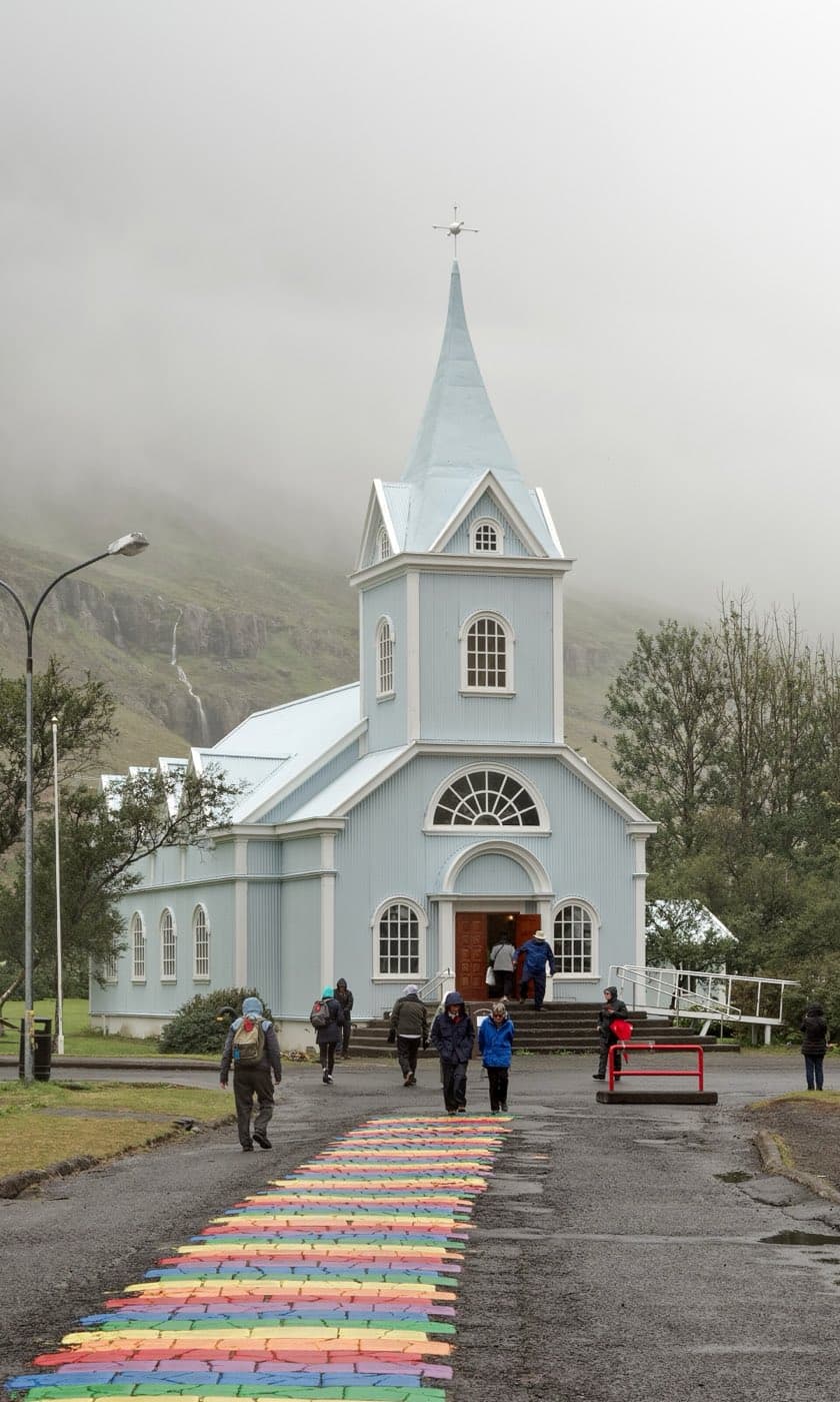
Iceland's rocks become progressively older with distance from the rift zone, and some of the oldest bedrock in the country lies in Eastern Iceland.
How the Ring Road runs through the Eastfjords
Route 1, also called the Ring Road, is Iceland's main national road and loops around the country.
Route 1 passes Reydarfjordur and continues towards Faskrudsfjordur through the Faskrudsfjardargong road tunnel. Route 955 is a longer coastal alternative to the tunnel.
Route 95 runs through Breiddalur and then climbs over Breiddalsheidi, an ancient, eroded volcano. Route 95 ends at Egilsstadir.
Egilsstadir in east Iceland is about 631 km from Reykjavik by the year-round route through the north, about a 9 hour 15 minute drive without stops.
Passes and tunnels
The road to Seydisfjordur is Seydisfjardarvegur, road 93. It leaves the Ring Road at Egilsstadir, crosses Fjardarheidi, and runs down through the town to the ferry pier.
Fjardarheidi carries the highest mountain road in Iceland serving a town that has only one road connection. Because the road over the heath is so high, little wind is needed in winter for conditions on it to become difficult. That state can last for days and hold up travel over the pass.
On the days the Norrona ferry arrives or departs, traffic over Fjardarheidi is very heavy.
Route 92 carries the road on from Reydarfjordur through Eskifjordur. The Nordfjardargong road tunnel takes it between Eskifjordur and Nordfjordur.
The road into Mjoifjordur is Mjoafjardarvegur, road 953, which is also the route in from Egilsstadir. It leaves the Ring Road, climbs to Haheidi on Mjoafjardarheidi, drops to the farm Fjordur in the fjord, and continues past Brekkuvegur out to Dalatangi.
The road in is open only for part of the year. How long it remains open depends on the weather and on road conditions. At other times, the fjord is reached by scheduled boat from Nordfjordur.
Fjord villages along the way
Reydarfjordur is the longest and the widest of Iceland's Eastfjords.
Eskifjordur is a village on the fjord of the same name in East Iceland.
Breiddalsvik sits on the shore of a bay at Breiddalur. Breiddalur is the longest and widest of the valleys in East Iceland and the broadest valley in the Eastfjords.
Teigarhorn is by the Berufjordur fjord in East Iceland. Approached from the north, the area is around 3 km before you reach the Djupivogur exit.
Road conditions and planning
Use the Road Conditions to help plan your trip.
Many roads in Iceland are gravel, especially in rural areas away from the Ring Road. A driver should slow down when moving from a paved surface onto gravel to keep grip.
A single-lane bridge sign, Einbreið brú, warns that only one vehicle can cross the bridge at a time.
Winter conditions can occur in spring and autumn as well as in winter. Driving on icy roads can be very challenging.
The opening of Iceland's mountain roads depends on the weather in spring and early summer. Snow cover has the greatest effect on when they open.
Map apps including Google Maps may not always reflect closed or impassable roads accurately. Conditions should be checked against official sources before setting out.
Road conditions for the whole country are published by Vegagerdin on umferdin.is. The agency also runs a road information telephone service.
Comparing East Iceland tours
You can compare East Iceland tours to see the current options.