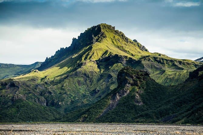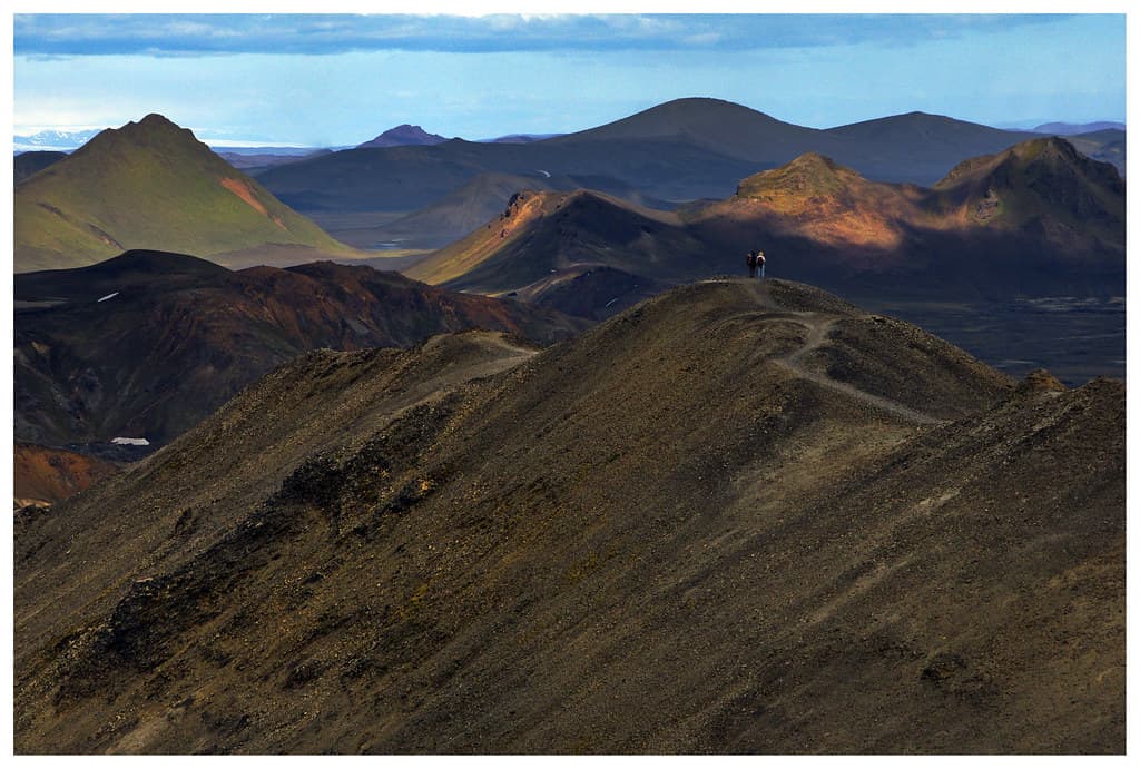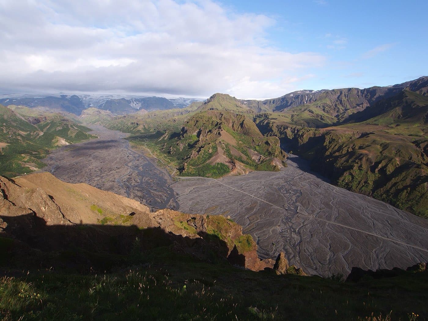
Fimmvorduhals is a hiking trail in south Iceland that crosses the pass between the Eyjafjallajokull and Myrdalsjokull ice caps. The trail is about 25 kilometres long and crosses a pass of about 1,000 metres. It runs from Skogar on the south coast up to the Thorsmork valley.
The route from Skogar to Thorsmork
It starts near Skogar and near Skogafoss. The lower part of the route passes a long series of waterfalls above Skogafoss. It runs from Skogar on the south coast to the Thorsmork valley.
The 2010 eruption craters
It crosses two craters, Magni and Modi. The craters were formed in an eruption in 2010. The route crosses the pass between the Eyjafjallajokull and Myrdalsjokull ice caps.
Linking to the Laugavegur
It ends in Thorsmork. Many walkers continue from Thorsmork onto the Laugavegur trail toward Landmannalaugar. Fimmvorduhals is a hiking trail in south Iceland.
Walking Fimmvorduhals and highland tours
It is a summer route. Weather can change quickly. Warm and waterproof layers are needed. Conditions should be checked on safetravel.is. You can compare highland tours to see the current options.
Check before setting out
For the latest access information around Fimmvorduhals trek, consult Iceland road conditions before you travel.