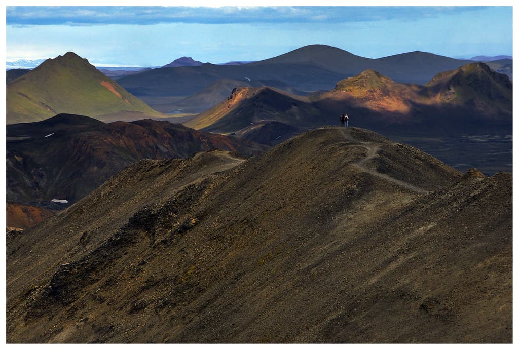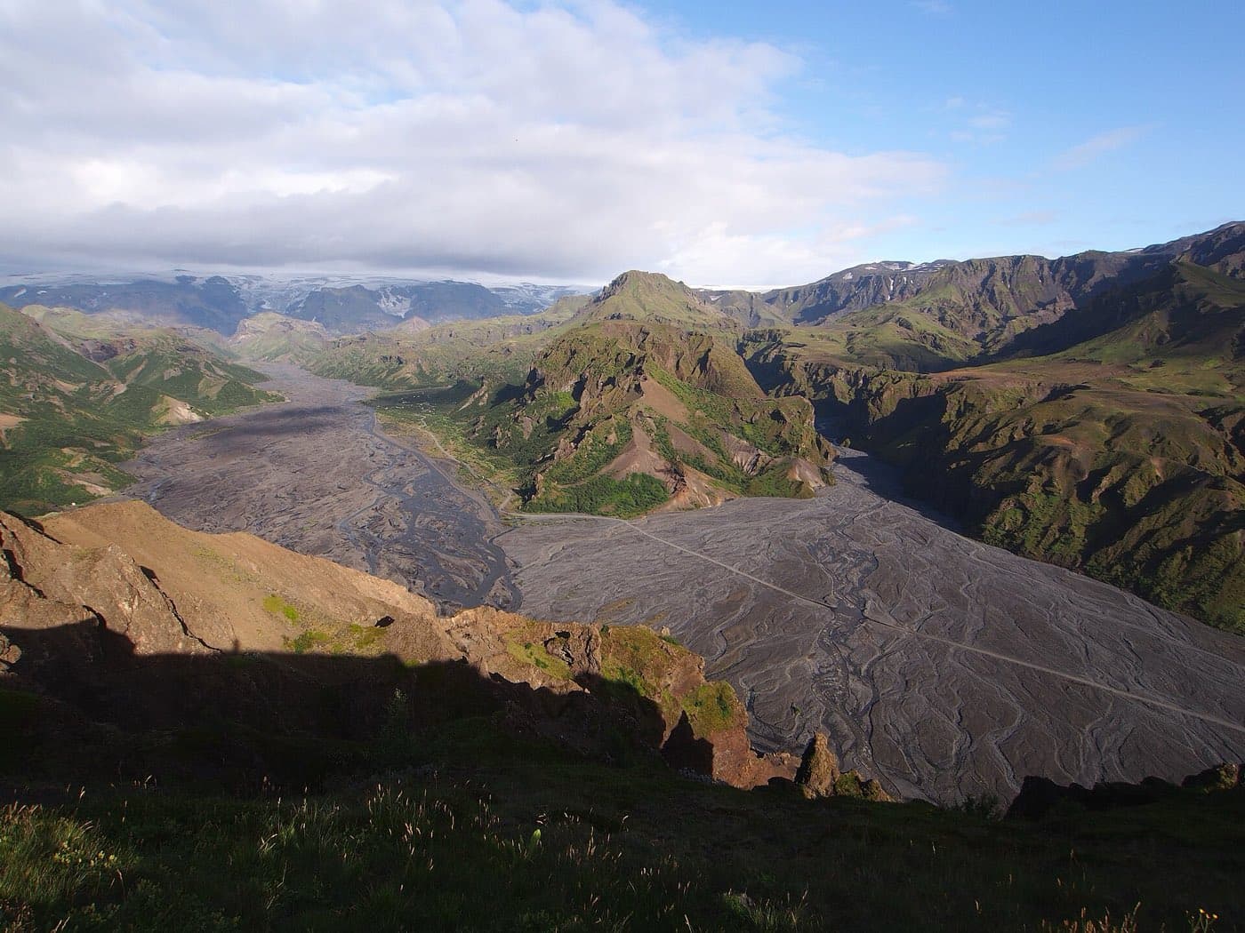
Þórsmörk is a highland valley in south Iceland, set between the three glaciers Eyjafjallajökull, Tindfjallajökull, and Mýrdalsjökull, about 150 kilometres from Reykjavik. It is a summer-only destination reached along the F249 mountain road, which ends at the Krossá, one of the most difficult river crossings in the country, so most visitors take a high-clearance highland bus rather than drive. This guide covers where Þórsmörk is, how to reach it safely, when it is open, and the two big hiking trails that meet there.
Þórsmörk at a glance
The essentials before you plan a trip.
| Feature | Detail |
|---|---|
| Location | Highland valley in south Iceland |
| Bordered by | Eyjafjallajökull, Tindfjallajökull, and Mýrdalsjökull |
| From Reykjavik | About 150 km |
| Access | F249 mountain road, 4x4 only, or a summer highland bus |
| Season | Summer only, roughly June to September |
| Known for | The Laugavegur and Fimmvörðuháls hiking trails |
Where Þórsmörk is
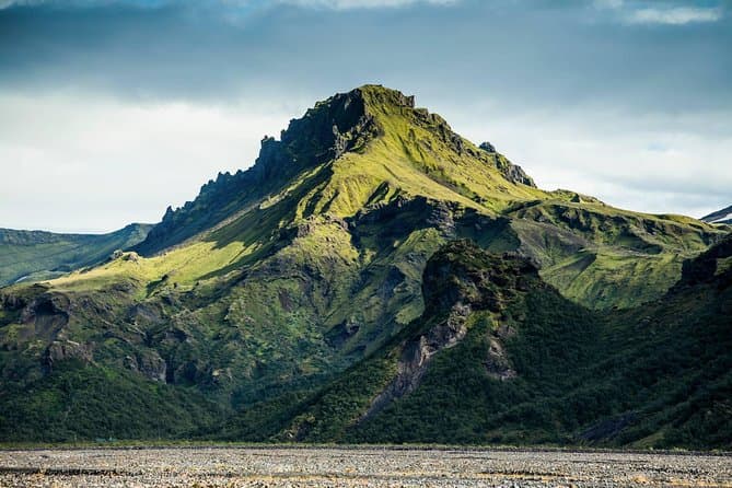
Þórsmörk is a nature reserve in the highlands of south Iceland, named after the Norse god Thor. It sits in a sheltered basin ringed by three glaciers: Eyjafjallajökull, Tindfjallajökull, and Mýrdalsjökull. Those ice caps and the ridges between them shield the valley from the worst of the weather, so it holds more birch woodland and greenery than the bare highland terrain around it. The area lies about 150 kilometres from Reykjavik, but the final stretch is unpaved mountain road, so it takes far longer to reach than that distance suggests.
Getting there: the F249 and the Krossá river
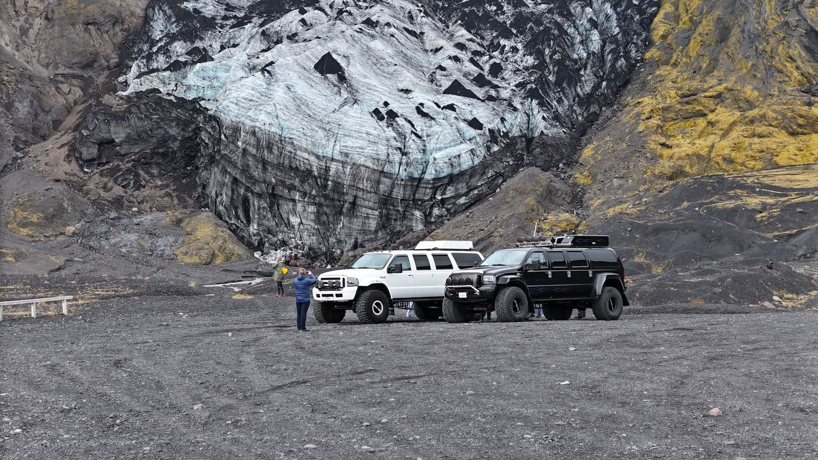
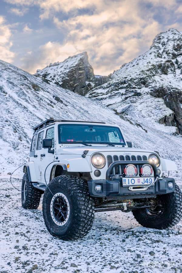
There is no paved road into Þórsmörk. The way in is the F249, a mountain F-road that runs about 30 kilometres off the Ring Road to the huts and main hiking area. Like all Icelandic F-roads it is legally restricted to 4x4 vehicles, and it crosses a series of unbridged rivers that grow larger the further in you go. The last and hardest is the Krossá, a fast, braided glacial river with a loose gravel bed whose depth shifts with the weather and meltwater. It is widely regarded as one of the most dangerous fords in Iceland, and tour operators and hut wardens advise against driving it even in a large 4x4. For that reason, self-driving all the way in is not the sensible choice for most visitors.
The highland bus and guided trips
The simplest and safest way into Þórsmörk is the highland bus, a high-clearance 4x4 coach built to handle the F-road and the river crossings. Buses run through the summer, roughly June to September, from Reykjavik and from stops along the south coast such as Hvolsvöllur and the park-and-ride points on Road 249, where you can leave a 2WD car and continue by bus. Guided day tours and multi-day hiking trips use the same kind of vehicle. In summer a footbridge is placed over the Krossá between the main huts, so walkers can cross on foot without fording the river.
When Þórsmörk is open
Þórsmörk is a summer destination. The F249 opens once the snow has cleared and the rivers drop enough to be passable, usually around June, and it closes again near the end of September when autumn weather returns. The exact dates move from year to year, and the road or river can become impassable at short notice after heavy rain or a warm spell of glacial melt. There is no fixed calendar to rely on, so check the official road status on road.is before you travel and read the conditions and alerts on safetravel.is. Treat no date here as a live road report.
The Laugavegur and Fimmvörðuháls trails
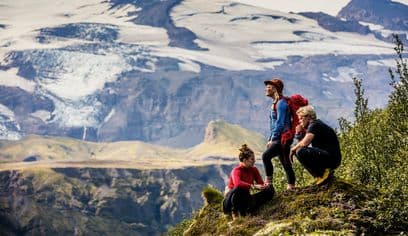
Þórsmörk is where two of Iceland's best-known hikes meet. The Laugavegur runs about 55 kilometres south from Landmannalaugar and ends in the valley, and most walkers take three to four days over it, staying in mountain huts along the way. The Fimmvörðuháls trail links Skógar on the south coast to Þórsmörk over a pass of about 1,000 metres between the Eyjafjallajökull and Mýrdalsjökull ice caps, a distance of around 25 kilometres that people walk in one long day or split over two. Shorter marked day walks also fan out from the huts for those who arrive by bus.
Guided trips versus self-drive
For most people the real choice is between the highland bus and a guided tour, not self-driving. The bus and guided trips put an experienced driver at the wheel for the F-road and the Krossá, which removes the single biggest risk of the trip. The Krossá is an unbridged glacial river that shifts daily and has caught out even experienced drivers, so do not attempt that crossing on your own; leave it to the highland bus or a guided operator. On the rest of the F249, only a capable, high-clearance 4x4 is legal, and you should carry food, warm layers, and enough fuel because services are sparse once you leave the lowlands. Guided options range from single-day visits to multi-day treks along the Laugavegur and Fimmvörðuháls. Rates change with season and operator, so compare current Þórsmörk and highland tours rather than relying on a figure quoted elsewhere.
Plan for changing conditions
Iceland road conditions provides the current road information to check before a trip that includes Þórsmörk: Iceland's highland valley between glaciers.