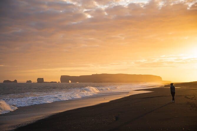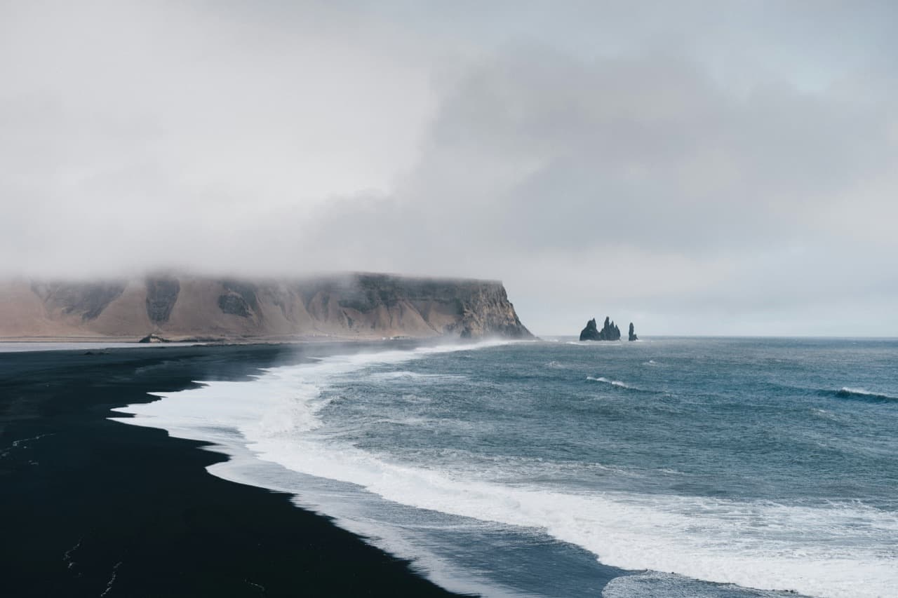
Hjorleifshofdi is a palagonite tuff promontory on Myrdalssandur in South Iceland, roughly 15 km east of Vik i Myrdal, rising about 221 metres above the surrounding black sand plains. On its south side is Gigjagja, the cave nicknamed the Yoda Cave. The marked hiking routes on the cape run roughly 7 km and take about 2 to 3 hours.
Where Hjorleifshofdi is and what it is
Hjorleifshofdi stands on Myrdalssandur, the black volcanic outwash plain in South Iceland. It lies roughly 15 km east of Vik i Myrdal.
Geologically, it is a palagonite tuff promontory rising about 221 metres above the surrounding black sand plains. It formed during the latter part of the last Ice Age in a subglacial eruption.
It was once an island. It now stands on dry land after glacial floods buried its surroundings in sand.
The story behind the name: settler Hjorleifur Hrodmarsson
The promontory is named after the settler Hjorleifur Hrodmarsson, blood brother of Ingolfur Arnarson.
According to settlement-era records, Hjorleifur came ashore here and was later killed by his Irish slaves. The land around the cape was later reshaped by Katla eruptions and glacial floods, including in 1721.
The Yoda Cave (Gigjagja) and its Star Wars-shaped mouth
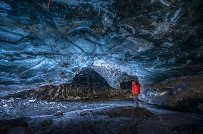
On the south side of the promontory is a large cave called Gigjagja, commonly nicknamed the Yoda Cave.
That nickname comes from the cave mouth, which resembles the head of the Star Wars character Yoda when photographed from inside. The cave is reported to be around 20 to 30 metres high, and its openings are separated by a natural bridge.
Katla, Myrdalssandur, and the volcanic landscape
Hjorleifshofdi sits within the Katla UNESCO Global Geopark. To the north are the Myrdalsjokull glacier and the Katla volcano.
The surrounding landscape is Myrdalssandur, a broad black volcanic outwash plain shaped by eruption and flood activity.
Getting there: the sandy track and when you need a 4x4
A marked turn-off from the Ring Road leads toward the cape and a parking area near Vik.
Reaching the cave area crosses soft black sand. This track commonly needs a 4x4 or a guided tour.
On the cape itself, marked hiking routes run roughly 7 km and take about 2 to 3 hours.
Check current road status at road.is and conditions at safetravel.is before visiting.
Visiting Hjorleifshofdi on a South Coast tour
You can compare South Coast tours.
Build a sensible route
Before setting off, use the Driving Distance Calculator to compare Hjorleifshofdi with the other places you plan to visit.