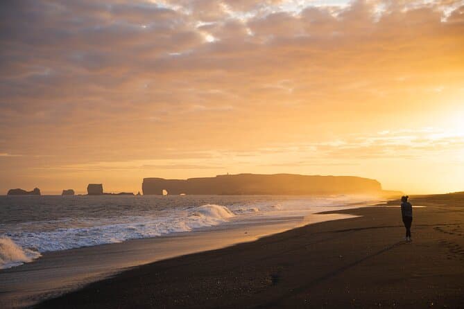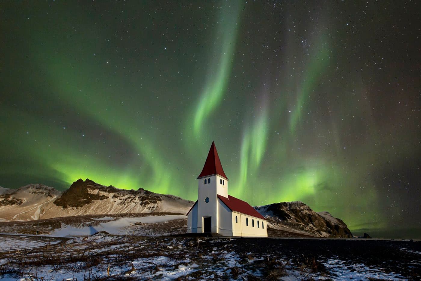
Vík í Mýrdal is Iceland's southernmost village, sitting on the Ring Road about 188 km southeast of Reykjavík, about a 2 hour 50 minute drive. It is the largest settlement for some 70 km and the main service stop on this stretch of the south coast. Reynisfjara black sand beach, the Reynisdrangar sea stacks, and the Dyrhólaey headland all lie within a short drive.
Vík at a glance
| Feature | Detail |
|---|---|
| Status | Southernmost village in Iceland |
| Distance from Reykjavík | About 188 km by road |
| Drive time | About 2 hours 50 minutes direct via Route 1 |
| Population | 740 in the village, 1 January 2026 (Statistics Iceland) |
| Nearby sights | Reynisfjara, Reynisdrangar, Dyrhólaey |
| Setting | Below Mýrdalsjökull glacier and Katla |
Where Vík sits on the south coast
Vík stands on Route 1, the Ring Road, in the coastal belt between Skógar to the west and the Mýrdalssandur sands to the east. Inland to the north is Mýrdalsjökull, the glacier that caps the Katla volcano. The village church sits high on a hill and is thought to be the building most likely to survive a glacial flood if Katla erupts, which says a lot about how ice and water have shaped the land here.
What to do around Vík
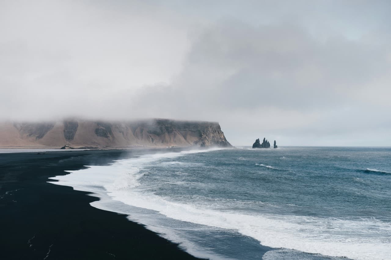
Most of the reasons to stop are within a few minutes of the village. Reynisfjara, the black sand beach just west of Vík, sits below the Reynisfjall mountain and looks out on the Reynisdrangar sea stacks that rise from the water offshore. A little further west, the Dyrhólaey headland marks the southernmost point of mainland Iceland and gives a wide view back along the coast. In summer the cliffs draw nesting seabirds.
Reynisfjara and staying safe
Reynisfjara is known for its black sand, basalt columns, and the Reynisdrangar stacks, the tallest of which reaches about 66 m (217 ft). It is also known for sudden, powerful surges of water that run far up the sand with little warning. Keep well back from the waterline, watch the sea rather than your camera, and do not turn your back on the water.
Using Vík as a south-coast base
Because Vík sits roughly halfway along the popular south coast, it works well as a place to sleep rather than driving back to the capital each night. Waterfalls and glacier country lie within day-trip range in both directions, and the village itself holds most of the fuel, food, and lodging on this stretch. Many guided trips run along the same route, and you can compare south coast tours and their current prices before you book.
Weather and when to go
Vík is the wettest coastal town in Iceland, with about 2,250 mm (89 in) of rain a year, and it can be windy in any season. Pack waterproofs and warm layers, and check road and weather conditions before you set out. The Ring Road reaches Vík year-round, so the village stays open to visitors through winter as well as summer.
Plan the journey
The Driving Distance Calculator can help you sequence Vík í Mýrdal with nearby sights without overfilling the day.