Karahnjukavirkjun is a hydropower scheme in East Iceland, and its power station is officially named Fljotsdalsstod. The station came online in 2007, and the Halslon reservoir covers about 57 square kilometres. The reservoir lies in the highlands north of the Vatnajokull ice cap.
What the Karahnjukar scheme is
The scheme is owned and operated by Landsvirkjun, the Icelandic state power company. It dams the glacial river Jokulsa a Bru, also called Jokulsa a Dal, and the river Jokulsa i Fljotsdal. The power station itself is underground.
Parliament authorised the scheme in order to supply power to an aluminium smelter at Reydarfjordur, and most of the energy the station generates is sold to that plant.
The dam and the Halslon reservoir
Karahnjukastifla is the largest dam in Iceland, and it is faced on the water side with a reinforced concrete cladding. Landsvirkjun describes it as the tallest concrete faced rockfill dam in Europe and among the largest of its kind in the world.
Halslon is impounded by the dam together with the Desjara and Saudardalur saddle dams. The reservoir covers about 57 square kilometres and sits in the highlands north of the Vatnajokull ice cap.
What the diversion did to the river
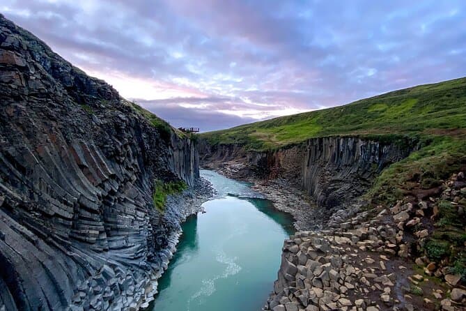
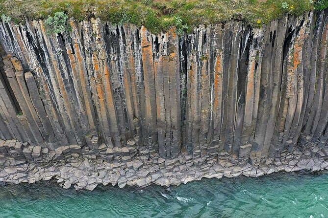
One of the diverted rivers was expected to run as a much lower, clear-water river for long periods in summer. The canyon downstream of the diversion is covered here: Studlagil Canyon.
The environmental objections
Iceland's planning agency, Skipulagsstofnun, came out against the project, citing substantial environmental impacts and insufficient information. The environment minister then reversed that decision and approved the project subject to conditions.
Filling the reservoir put under water sediment terraces that were unusual both in how they were formed and for the geological record they held. It also submerged distinctive vegetation ecosystems in a high mountain valley that is far from the sea and has mild summer weather.
Objectors also argued that the scheme broke up a continuous expanse of uninhabited highland north of Vatnajokull that held no man made structures.
Planning the drive inland
This site is in the East Iceland highlands, north of the Vatnajokull ice cap. For route comparison between places in Iceland, use driving distances.
Comparing East Iceland tours
If you want to compare options in the region, see East Iceland tours.