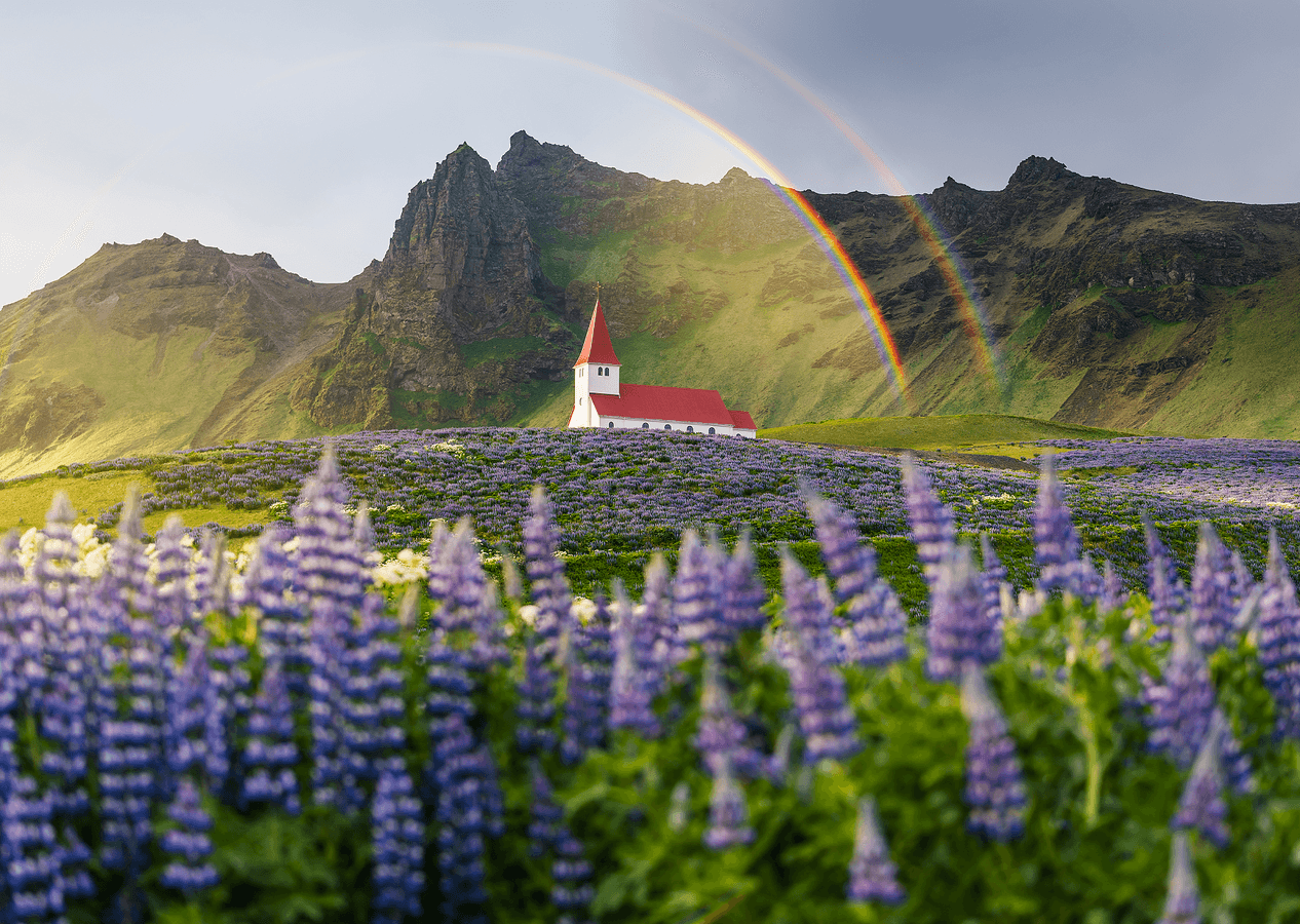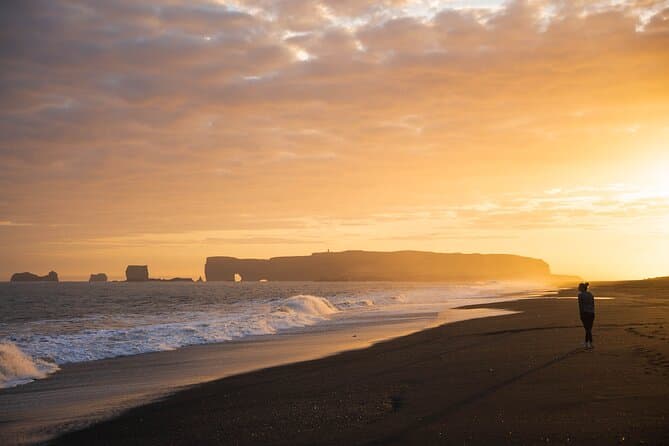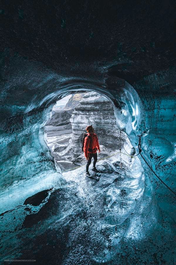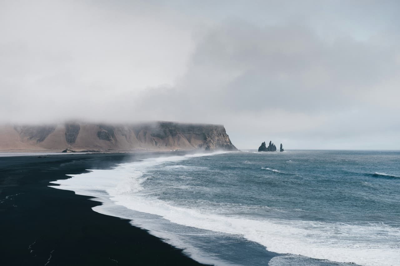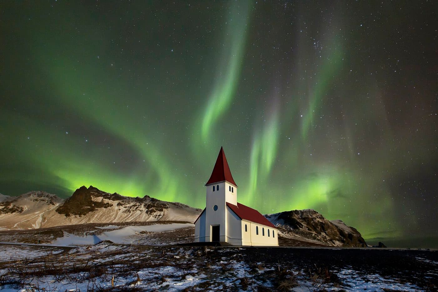
The Katla Geopark is a UNESCO Global Geopark covering a large area of the south of Iceland. It was among the first geoparks recognised in the Nordic countries.
What the Katla Geopark is
A geopark is an area with notable geology managed for conservation, education, and visitors. It includes well-known sights such as the village of Vik and the surrounding coast.
The volcanic landscape
It is named after the volcano Katla, which lies under the Myrdalsjokull ice cap. The park stretches across the south, taking in glaciers, volcanoes, black sands, and lava fields. The landscape has been shaped by repeated volcanic eruptions and glacial floods.
Visiting the geopark and South Coast tours
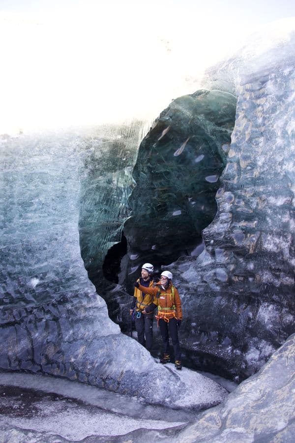
The geopark is crossed by the Ring Road, so many of its sights are reached on the main south coast route. Guided trips into the geopark itself are rarer than ordinary south coast day tours, one being a mapping journey at Krossarjokull within the Katla Geopark. You can compare South Coast tours to see the current options.
Map the drive
Use the Driving Distance Calculator to see how Katla Geopark fits with the other places on your route.