This guide covers the drive from Reykjavik to the Snaefellsnes peninsula, its south side and its north side.
The route from Reykjavik
Route 54 is the main road around the Snaefellsnes peninsula, taken from Borgarnes.
The Ring Road does not go through the Westfjords, the Snaefellsnes peninsula or parts of North-East Iceland, which are reached by side roads.
Borgarnes is about 76 km from Reykjavik, about a 1 hour 15 minute drive without stops.
Driving to the south side and the glacier
Arnarstapi is about 194 km from Reykjavik, about a 2 hour 55 minute drive without stops.
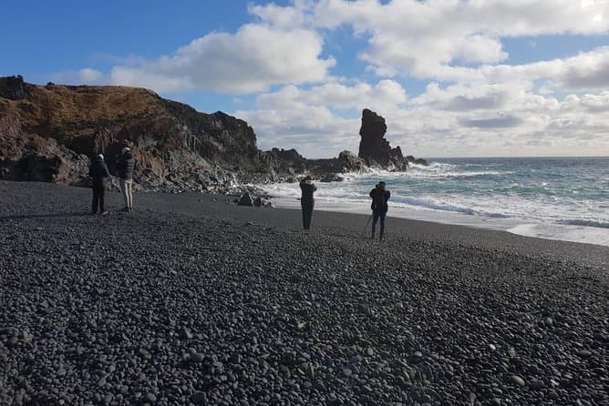
The western loop road around the glacier links Arnarstapi, Hellnar, Djupalonssandur and Londrangar.
Snaefellsjokull is a glacier-capped volcano 1446 metres high at the western tip of the Snaefellsnes peninsula.
Driving to the north side
Grundarfjordur is about 178 km from Reykjavik, about a 2 hour 40 minute drive without stops.
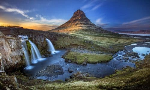
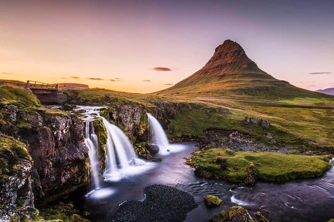
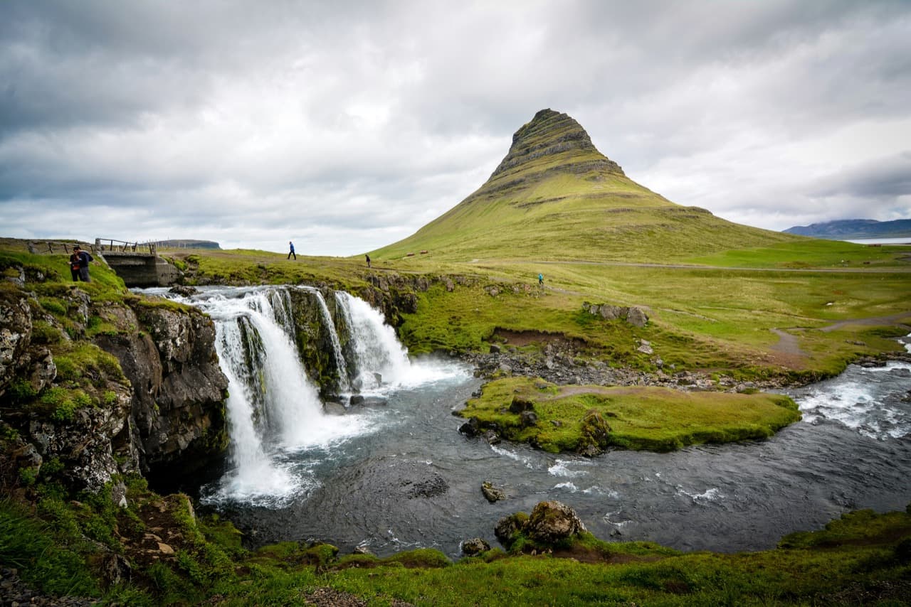
Kirkjufell rises 463 metres above sea level by the town of Grundarfjordur.
Stykkisholmur is about 173 km from Reykjavik, about a 2 hour 35 minute drive without stops.
The southern Westfjords can be reached by bus from Reykjavik to Stykkisholmur and then the ferry Baldur to Brjanslaekur.
Planning the drive
Use the Driving Distance Calculator to help plan your trip.
Comparing Snaefellsnes tours
You can compare Snaefellsnes tours to see the current options.