The Snaefellsnes Peninsula in West Iceland packs a glacier volcano, black-sand beaches, and Iceland's most-photographed mountain into one route, and the peninsula is about a two-hour drive from Reykjavik. You can see the highlights on a long day trip, but two days lets you slow down. This guide covers how to get there, the key stops, and whether to drive it yourself or take a tour.
Snaefellsnes at a Glance
Short on time? Here is the quick version.
| Snaefellsnes Peninsula | |
|---|---|
| Where | West Iceland |
| From Reykjavik | About a two-hour drive to the peninsula |
| Time needed | A long day, or better, two days |
| Signature sights | Kirkjufell, Snæfellsjökull, Djúpalónssandur, Búðakirkja |
Getting There and How Long You Need
The Snaefellsnes peninsula is about a two-hour drive northwest of Reykjavik: you head north on Route 1, then branch onto Route 54, which runs the peninsula. You can loop the highlights in one long day from the city, but it is a lot of driving for the time on the ground. Two days is the sweet spot, with a night in Arnarstapi or nearby, so you can take the southern shore, the national park, and the northern towns without rushing.
Kirkjufell: Iceland's Most-Photographed Mountain
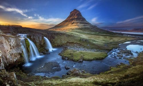
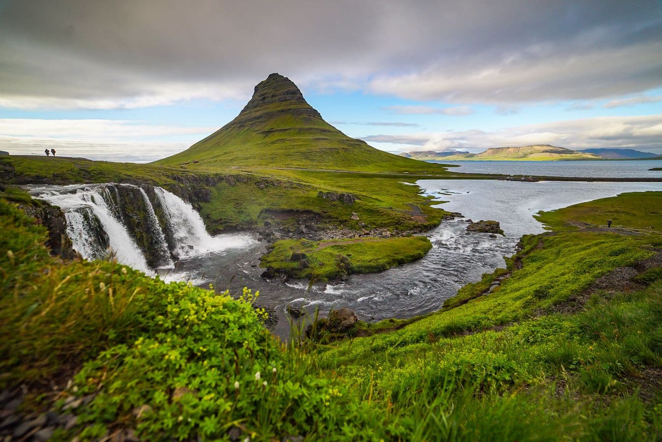
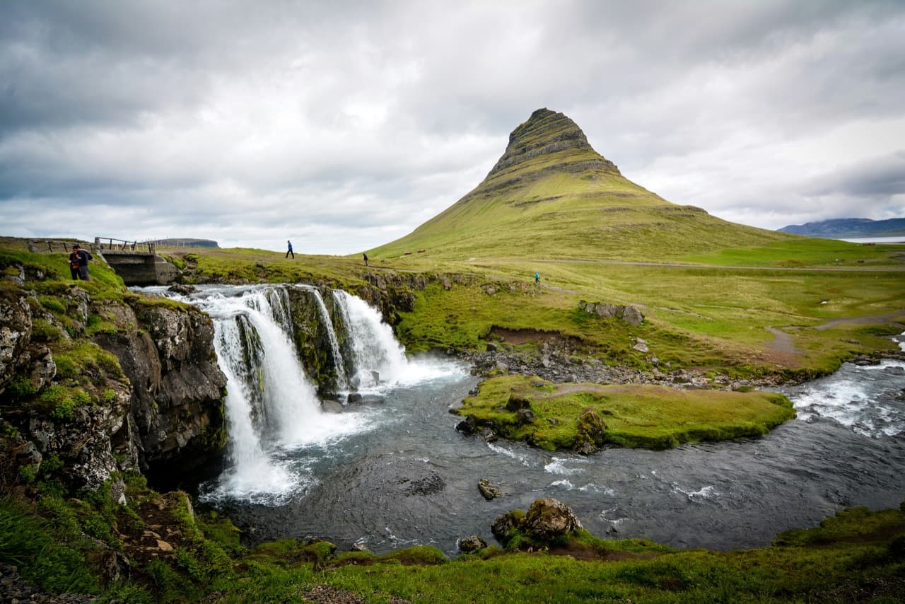
Kirkjufell is the pointed, symmetrical peak you have probably seen in photos, often with a small waterfall in the foreground. It stood in as the "Arrowhead" mountain in Game of Thrones, which cemented its fame. It is near the northern-shore town of Grundarfjordur, so it fits naturally into a loop of the peninsula.
Snæfellsjökull: The Glacier Volcano
Snæfellsjökull is a glacier-capped stratovolcano at the western tip of the peninsula, and it anchors Snæfellsjökull National Park. It is best known abroad as the setting for Jules Verne's "Journey to the Center of the Earth," where the explorers descend into the earth through its crater. On a clear day you can see it from a long way off, including from Reykjavik across the bay.
The South Coast: Arnarstapi, Búðakirkja, and Djúpalónssandur
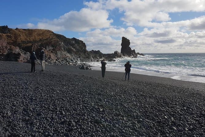
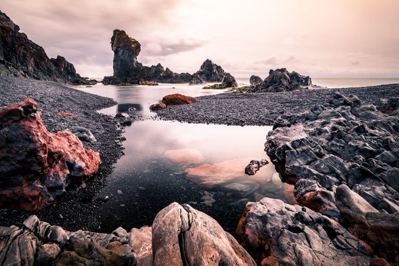
The southern shore strings together several of the peninsula's best short stops. Arnarstapi is a small coastal village with dramatic sea cliffs and rock arches, and a well-known walking path along the coast. Búðakirkja is the striking black church standing alone at the hamlet of Búðir. Djúpalónssandur is a black-pebble beach with the old "lifting stones" fishermen used to test their strength, and the rusted remains of a British trawler wrecked here in 1948.
Planning Tips
A few things make the peninsula easier:
- Pick a loop direction and commit, so you are not doubling back; many drivers take the southern shore out and the northern shore home.
- Fuel up before you leave the main towns, since stations are sparse out on the peninsula.
- Leave more time than the map suggests, because the stops are the kind you will want to linger at.
Tours vs Self-Drive
Self-driving suits the peninsula, since the sights are spread out and a car lets you set your own pace over one or two days. A guided tour is the simpler choice if you are not driving or only have a single day, and it takes the navigation and the long highway stretch off your hands. To compare, see our Snaefellsnes tours and day trips.
Check the timing
The Driving Distance Calculator helps turn a visit to Snaefellsnes Peninsula into a realistic self-drive day.