Kerlingarfjoll is a mountain range in the central Icelandic highlands, with peaks reaching roughly 1,500 metres above sea level. It lies between Langjokull and Hofsjokull, and access is via the F35 Kjolur route, with the last stretch on F347 to the parking area. From Gullfoss, the distance is about 70 km.
What Kerlingarfjoll is
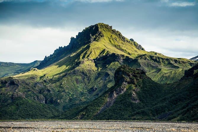
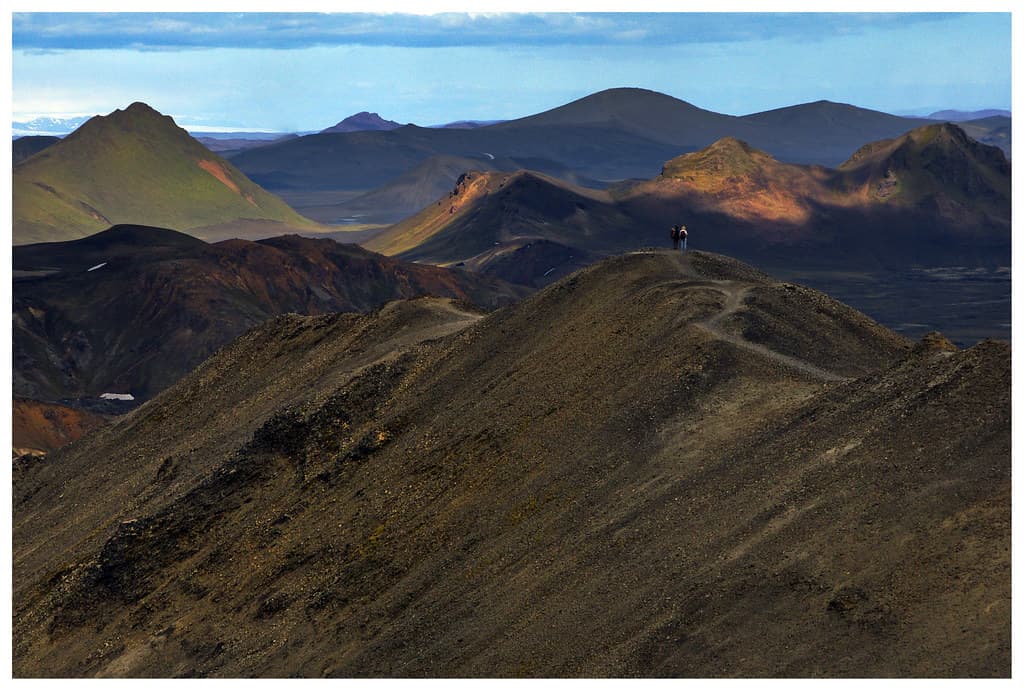
Kerlingarfjoll is composed largely of rhyolite, a silica-rich volcanic rock that is uncommon in Iceland. That geology gives the range its colourful yellow, orange, red, and green peaks.
The area has been protected since 2017. In practical terms, that matters because it is both a mountain landscape and a managed natural area in Iceland's interior.
The Hveradalir geothermal area
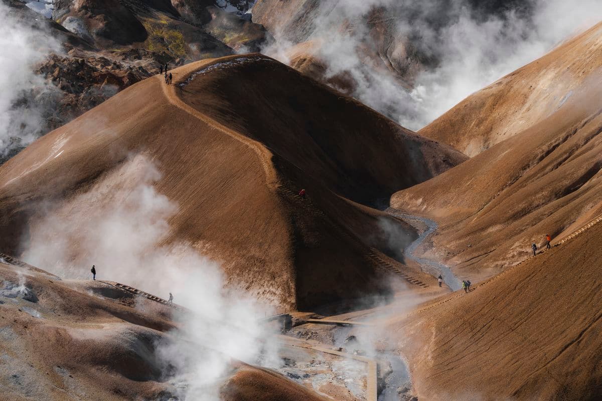
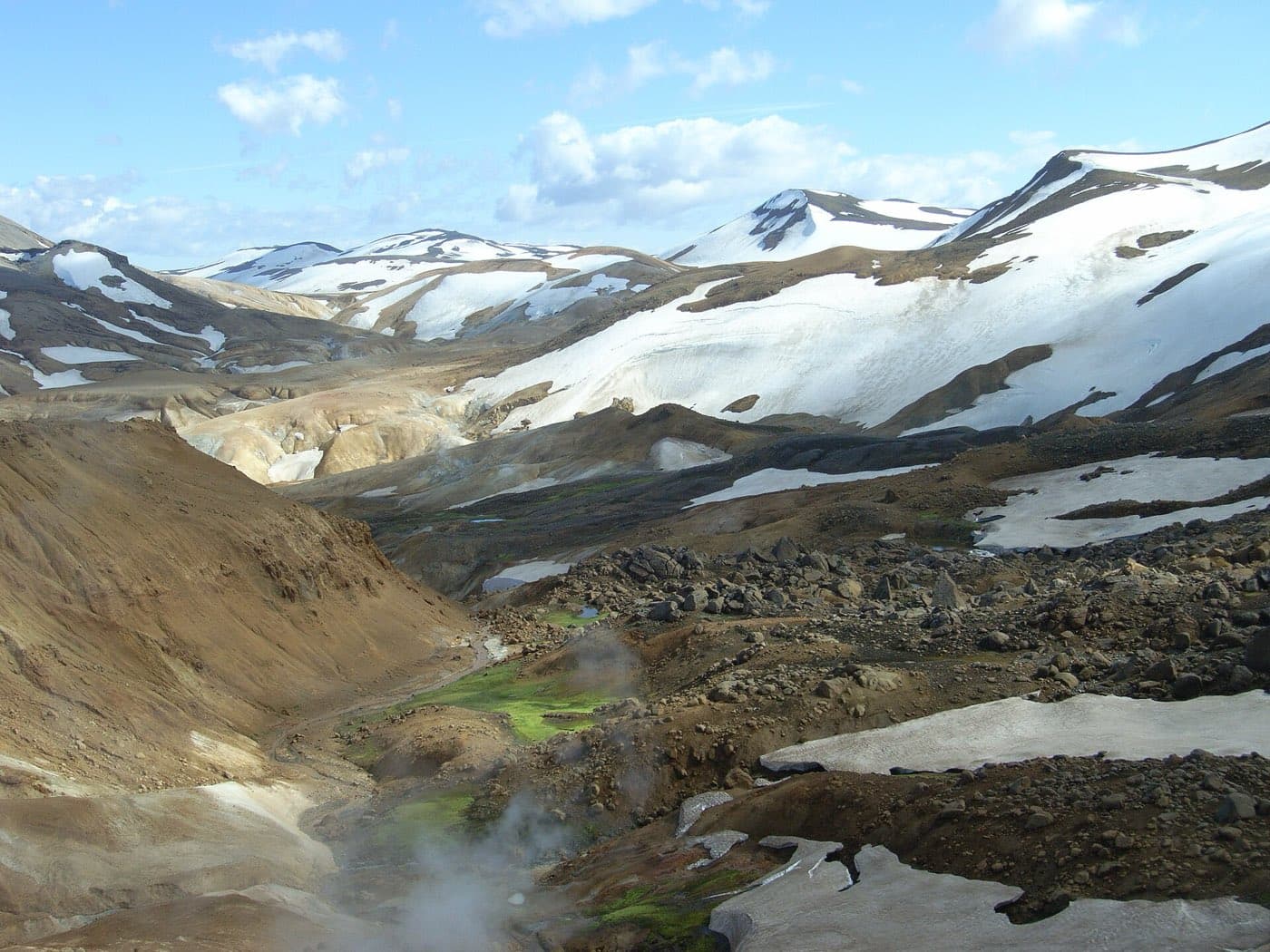
Hveradalir sits within Kerlingarfjoll and is one of Iceland's largest geothermal areas. The landscape here includes steam vents, bubbling mud pools, and hot springs set among vivid rhyolite hills.
There is a well-marked hiking route here called the roughly 4 km Hveradalir Circle loop. Bathing is not permitted in Hveradalir because the geothermal water can reach boiling temperatures and the area is protected.
Colourful rhyolite mountains and hiking trails
The visual character of Kerlingarfjoll comes from its rhyolite mountains. Across the range, the colours run through yellow, orange, red, and green, which is unusual in Iceland because rhyolite is uncommon here.
Hiking is a central part of visiting the area, and the marked routes connect the mountain scenery with the geothermal terrain. The roughly 4 km Hveradalir Circle is the main marked trail, and the wider setting is defined by the contrast between steaming ground and colourful slopes.
Between Langjokull and Hofsjokull: the highland setting
Kerlingarfjoll lies between the Langjokull and Hofsjokull glaciers in Iceland's interior. This places it firmly in the central highlands, with access shaped by highland road conditions rather than year-round standard routes.
The main approach is via the F35 Kjolur highland route, which links Gullfoss and the south to north Iceland. The final approach to the parking area is on the mountain track F347.
The Highland Base resort and facilities
The Kerlingarfjoll Highland Base mountain resort offers lodge and chalet accommodation plus a restaurant near the hiking trails. For a highland area, that gives visitors on-site facilities close to the main walking area.
Road and safety information for the F35 changes through the season and should be checked on official sources. Check road.is and safetravel.is before setting out on the route.
Visiting Kerlingarfjoll on a highland tour
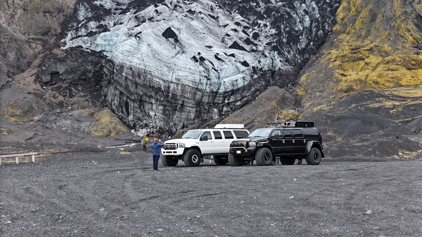
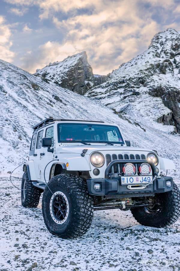
Access rules for this area are specific. The Kjolur route requires a 4x4 and is a summer-only road, typically open from mid or late June to around early September. That seasonal window is the key access fact for independent travel in Kerlingarfjoll highlands.
If you are looking at organised options, see highland tours. For self-drive access, the route fact remains the same: use F35, then F347 for the final mountain track, and note that the distance from Gullfoss is about 70 km.
Look at the roads first
Use Iceland road conditions alongside this guide to Kerlingarfjoll, particularly when weather may affect access.